Jacoby Creek Land Trust
Jacoby Creek Land Trust has four areas that might be visited by the public, all along Jacoby Creek if you can believe it. As far as I know, this is the last of the little local hikes in the area, however I'm suspicious that McKinleyville has a few hidden away. When I thought to hike this one, it was quite flooded with the creek running high. It's a lot drier now. I made an attempt to visit all the locations.
Kokte Trail
Click for map.
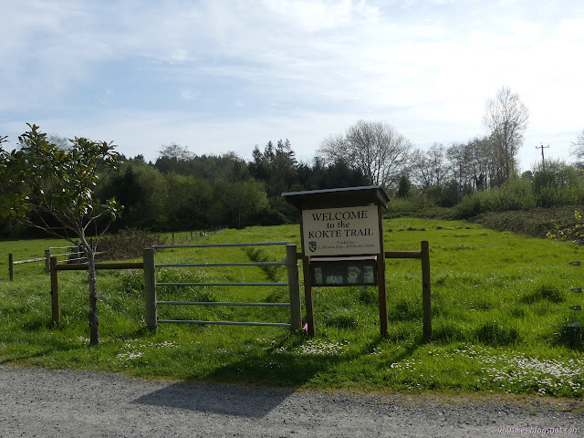
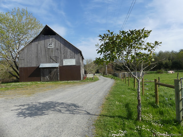
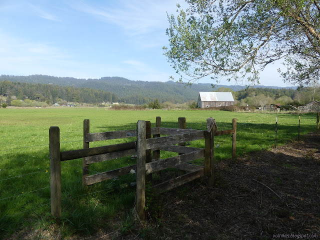
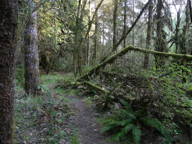
Kokte Trail is on the Kokte Ranch that is the headquarters for the land trust and is the easiest to find. It has an address and a sign and parking and a kiosk with information and brochures. Just slip the chain off the gate and head out across the grass to the side of the creek.
Once by the creek, take a left and travel between the trees and brambles.

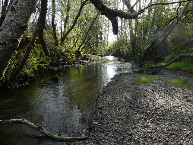
It's hard to see the creek itself at first, but it makes an appearance.

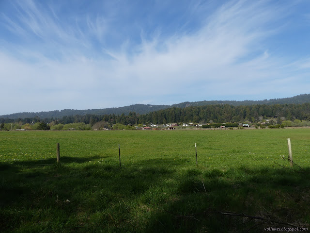
There's spots to see what's out in the fields, too. Right now, it isn't cattle, just the "cattle on wings" of the Canada geese and similar.

The trail sort of fizzles at the end. There's a slot to get through the fence and another on the far side of the field. The trail is only meant to be a half mile, and that is approximately at the slot.
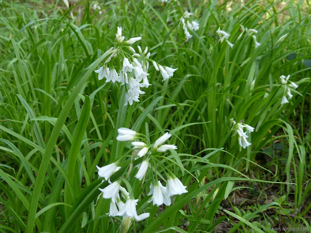
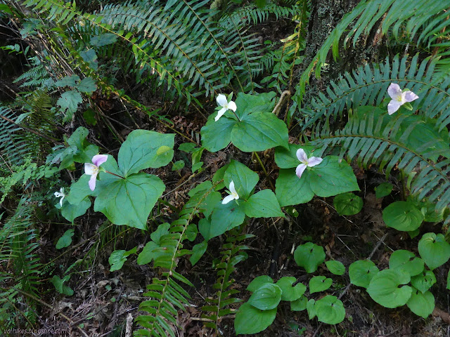
I returned, taking in the flowers a bit better. They seem to generally be invaders from the nearby gardens.

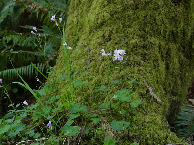
There's a short bit of trail downstream from the main trail, too. I explored it for another look at the creek and another flower.

South Quarry Forest
Click for map.
This property is accessible from either South Quarry Road or Jacoby Creek Road. I went up Jacoby Creek Road and found a large turnout where people were parked head in. The mountain bikers went up the road and took a left on a gravel road. I didn't see where the runner disappeared, but it wasn't down the trail. I did go down the trail.
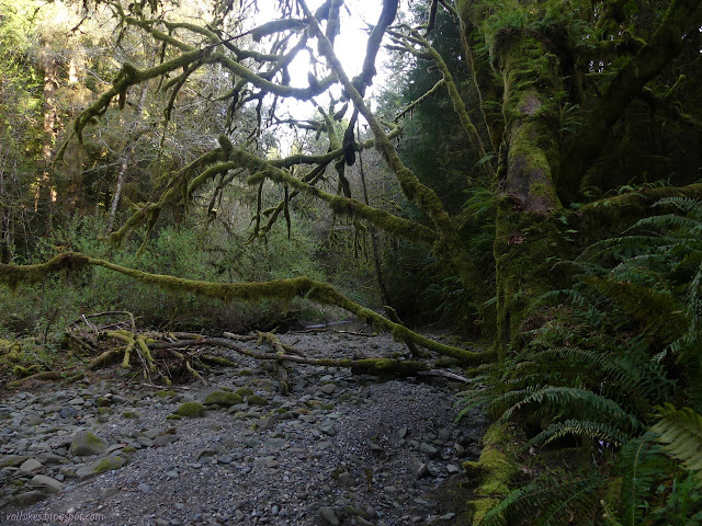
I got to the creek, which has a nice clear area for bikes and horses to charge through. It also has a line of rocks off to the side, but the main flow had washed away at least one and I wouldn't be able to jump the gap left. The far rocks looked teetery anyway, so I plunged through. My feet didn't get that wet.


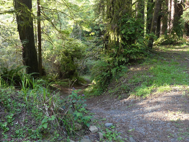
The south side of the property is generally redwoods. They call it second growth, but I suspect it's had a few more cuts than that. There's a few big old stumps with steps chipped in and a lot of smaller stumps cut down low. Visible from the creek, it is that "dog hair" the park sign talked about. It is a little more open away from the creek.


Then I came to the end of the trail because it's only one third of a mile. The parking on South Quarry Road only holds two cars, but it comes right before a sign indicating the end of the public road and has a sign marking the area as Jacoby Creek Land Trust. This certainly would have left me more confident about taking the trail.

On the way back, I took some of the extra loop trails visible in the area. Upon review of the description on the "places to visit" page, I wasn't really supposed to do this.

It didn't take long to finish the loops. Then I was back down to the creek. The rocks didn't look so teetery when close up, so I crossed most the way on them before taking the last couple steps through the water. That thoroughly soaked my feet.

After, I watched more bikers turn onto the gravel road. I went up to see, but just found a road with a gate and private property signs. Either they know something I don't or it's one of those things people have been getting away with. I decided not to explore further.
This is a 20 acre area of second growth redwood accessible via an easement. It does not have any actual trails. The brochure states it is 1.5 miles up Jacoby Creek Road. I'm afraid I couldn't find it. There is a turnout just short of 1 mile up with plenty of parking. This appears to be about all there is along the road.
Louis Lucchesi Forest Reserve
This is a 20 acre area of second growth redwood accessible via an easement. It does not have any actual trails. The brochure states it is 1.5 miles up Jacoby Creek Road. I'm afraid I couldn't find it. There is a turnout just short of 1 mile up with plenty of parking. This appears to be about all there is along the road.
Randall Property
This is only described in the brochure and is about half a mile up Jacoby Creek Trail. It says, "Riparian wildlife habitat, bird watching, educational opportunities, and sustainable grazing." It sounds like the sort of thing that would have a sign. Perhaps it is just at the end of the Kokte Ranch, since the Kokte Trail is supposed to be half a mile.
©2021 Valerie Norton
Written 5 Apr 2021
Liked this? Interesting? Click the three bars at the top left for the menu to read more or subscribe!


Comments
So... if you know something that's missing, I would love to hear about it.