overland route search, Dry Lagoon to Big Lagoon
Humboldt Lagoons State Park
Click for map.
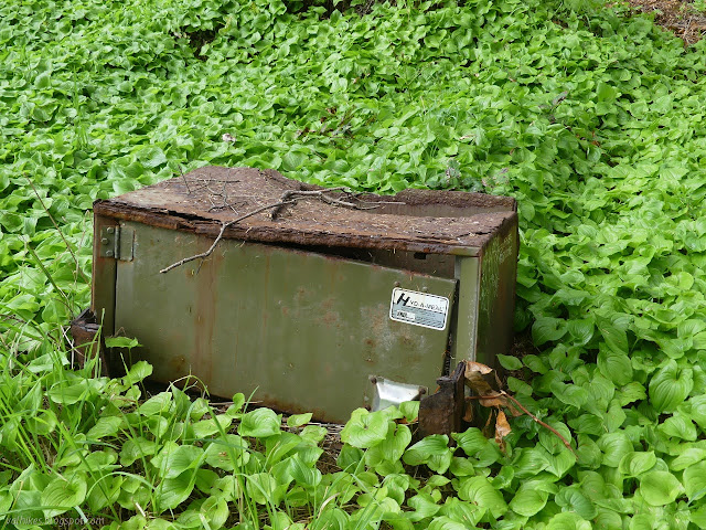
I wanted some four hours to freely search out the trail that must exist over the hill connecting Big Lagoon to Dry Lagoon. On the one hand, I probably had this thought of "How hard can it be?" for following a bit of old paved highway. It's really just the getting down to Big Lagoon that is difficult. Except it's not just that, because there's clearly places where that old road is traveling down the hill in little pieces. The parts I had seen in person certainly don't support it being an easy walk. On the south side, I stared down a black, watery abyss surrounded by green and no trails at the broken edge of the road. On the north, I could see a track with some use actually climbing a little way up the hill away from the road to get around the green covering it. Anyway, if there is a track getting used, four hours should be enough to sort it out. The stretch just isn't that long. First I had a tour of the long closed environmental campground, which was six sites, each with a table, fire ring, and bear box.

I found all the spurs to be holding up well, although the sites generally weren't. The tables look ready to collapse. The fire rings are buried in vegetation and the metal is looking thin and flimsy. One bear box actually looks nearly new inside and operates well, but others are flaking into layers of rust, off their feet, have huge holes rusted out, and site 1 is missing the door entirely. All of the cleared ground for tents is sloped now, but still clear except for the western lily of the valley covering it all.

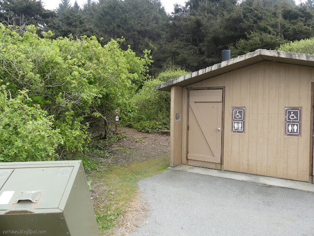
I arrived at the old road just past another "pack it in, pack it out" and "no dogs" set of signs next to the locked vault toilet. Ready for the real explorations.

The trail is very clear at first, but quickly thins. It's surprisingly soft underfoot, but not as soft as what I got into later. I never saw any cuts on it, so it could just be bear trail. On the other hand, even the low bridges were easy to pass and everywhere else had plenty of head room.
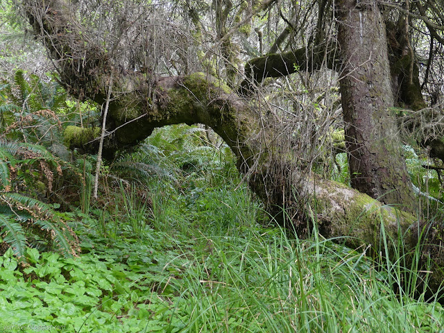
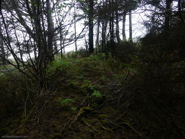
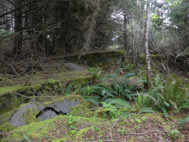
Then I started to have options. I dropped back to the road, but that didn't last long. I tried above the road once more. It sort of looks like there was a bypass route cut through there, or maybe the hill just shifts to leave terraces. There kind of seems to be a lot of terraces. Small ones below, big ones near the top. I tried it and found myself moving toward a well watered enthusiasm of green. Sometimes it serves well to remember this is a temperate rain forest. Is it the green death? Maybe only if trying to travel without trail. I was looking for a human used trail and anything there was going to be bear tunnel. I wasn't ready to go crawling through a stream. I turned back and tried some other open spaces. They were so soft, I suspect there's about 4 feet of forest debris before the ground, and I was moving toward more green wall. I ended up back on the road.
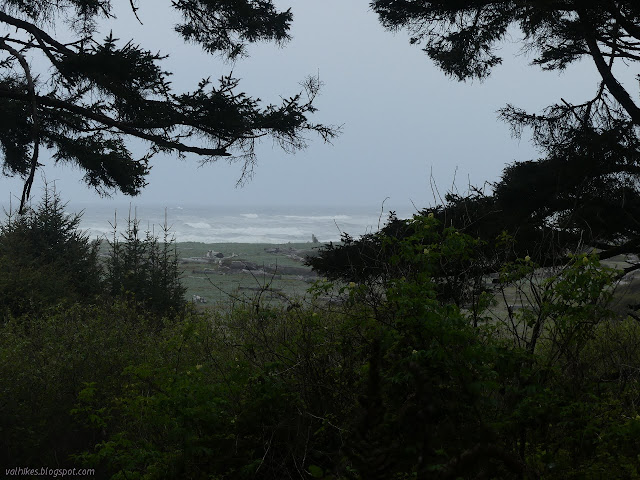
I headed down below the road where there were more trails. They swung back and some go through pampas grass, which has a decidedly long and sharp blade on every edge. Eventually I found myself out at the edge of the forest on the slumping hill.


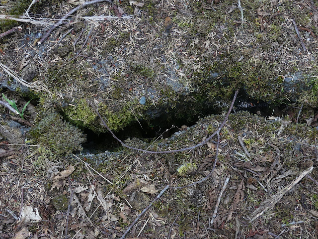
It kind of looked like there was a trail angling downward. Not well used, it was only marked by darker rocks turned up by the disturbance of feet. I wasn't ready to try out that trail either. The hill is a clay that will swallow your shoes when wet. (It gets called "blue goo" sometimes and properly Franciscan complex. This particular piece is the Truttman Sink.) I found a few wet spots on it on the time before and it tried to do just that. This isn't quite the overland bypass route I wanted. When dry, one can certainly get across once out in the low vegetation areas of the hill. I pondered the viewpoint and turned back.

If one does want to try to follow the road, there's an electrical line strung out along it. For the part I went along, that's much easier to see. The trouble is, there's often no open space produced by the once road. I dedided to try to follow it back since there had seemed to be trail along it too, not just above it.

I ended up heading back up to the trail bypassing above the road to follow it back. It's just too much of a mess even to walk. I think if I was to do a trail, I'd be trying to get to the top of the hill and stay up there until required to come down. There would be road noise, but anything else would require excessive maintenance.
So I guess I wasn't mentally prepared to go searching for trail for four hours after all. There is a way when it is dry, but best to find a nice, negative tide to travel although it sounds like sand will fill it in for summer when the negative tides occur.
There actually is, or was (see pages 123-125) in 1986, a plan to build a Big Lagoon access trail from the southern end of the spur. This is roughly the description of the fisherman trail I followed up, except I landed at the north end of the spur. Fishermen were expected to continue using trails like the one I used. This isn't really seen as the winter route for the California Coastal Trail because Big Lagoon tends to breach 6 or 7 times a year and the bottom of the trail is on that "blue goo". That they see as a route around the east side of the lagoons, which currently is the often shoulderless, winding US-101. This not yet extant trail is also meant to connect to a the Orick Horse Trails on the west side of Redwood Creek for access to Tall Trees Grove. That third route also isn't a winter route since the legislation that added that part of Redwood National Park also forbids permanent bridges over Redwood Creek, which is too large to ford safely in winter.
©2021 Valerie Norton
Written 24 Apr 2021
Liked this? Interesting? Click the three bars at the top left for the menu to read more or subscribe!


Comments
I was surprised by how much even the parts that exist are impassible. Going south from that brief moment of pavement, it looks like everything has buckled, the rest past that is invisible. It doesn't look like the land has just pushed it off to the ocean, but it's just not there either.
I'm still wondering about the footprints I followed out when hiking Big Lagoon. The truck was gone when I got back, so did that person know a better way back? Or had a ride or took the bus? Or just did the same thing I did without all the extra miles first?