Streelow Creek and Davison Trail
Redwood National Park
Click for map.
I keep noticing the Streelow Creek Trail and wondering about it, so I headed out to try it. It's not very long. It seems to be part of an effort to make more trails available to mountain bikes, but that doesn't mean I can't walk it. I made it a loop with a bit of Davison Trail I'd noticed across the road from the parking for Trillium Falls and Berry Glen. So that's where I went to start. It does leave a little bit of Davison Road to walk. I put it at the end so I could chug along while thinking about the places I'd just been more than, well, the dusty road.

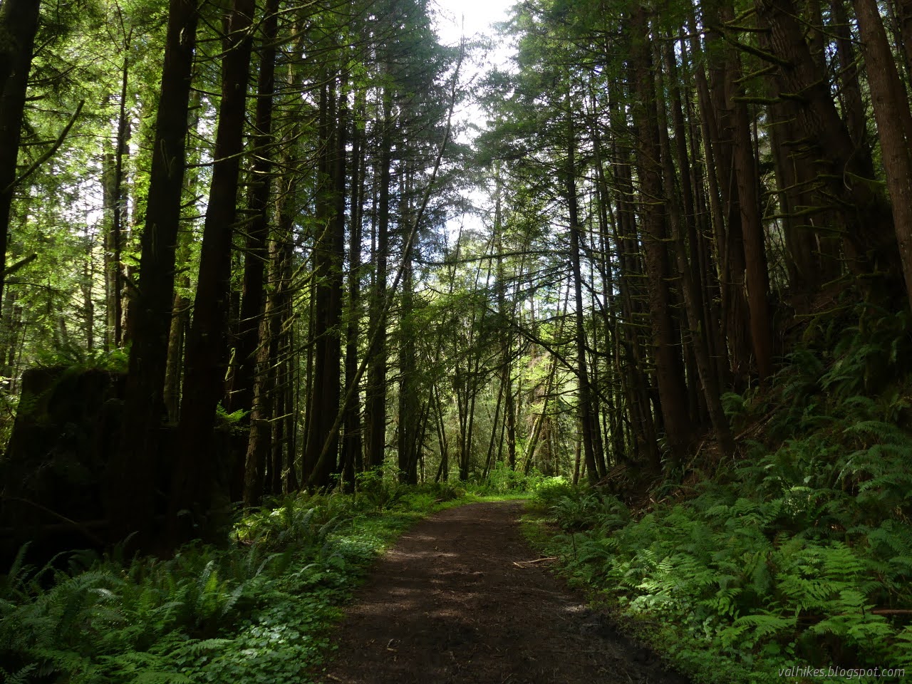
I wasn't expecting much of Davison Trail. It follows along US-101, so of course there is traffic noise. It's a second growth area, which seems to be the usual for bike and horse trails. There's even a little bit of the behind the scenes workings as I passed an old sheet metal barn half full of gravel for the roads and a smaller one for invasive species compost. It's not glamorous.

You don't actually see that traffic. It's on the other side of Prairie Creek. You can barely even see the creek or the spattering of cabins to rent and private residences just the other side of it. Oh, and someone was kind enough to leave a couple of really big trees along the edge.


The junction came shortly after the bridge over Streelow Creek. I decided I had time to head over to Elk Prairie. I started to question if it could be worth it when I hit the paved road. Over a bridge and past a gate with camera, there was another gate. I used the back of a sign as a hint I might want to go that way. It's a much thicker section of old growth. Short for redwoods, but old and huge. I suppose the attraction of redwoods is meant to be the height. Big Trees is just the other end of Elk Prairie Trail, but I like these too.


I arrived at Elk Prairie. I've hiked the east side and the west side is winding through campground, so I decided against taking the loop around. I basically hit the edge of Prairie Creek Redwoods State Park and turned right around.


Arriving back at Streelow Creek Trail, I started up it. It is another service road, but not quite so nicely kept. There are many spots where it has become rutted and low places where long term puddles have been allowed to settle. Some spots were a challenge to cross, but most had some not too slick and wet route through.


After a bridge, the road turns to much nicer trail without soggy spots. There's some old growth along it somewhere, but it's easy to miss.

I passed another bridge and could hear occasional cars. Sure enough, I was near the end. I had a similar length of public road to get back to the parking lot. There wasn't much parking at that end. I turned to climb along the gravel road.


At the top of the hill, I found an old road that looks to be getting a little bit of use by hikers. I explored a little way along it finding it quite clear but not all that well used. There were flags along it. I found one of a similar color when I hiked the Skunk Cabbage Section, but these held no notes. It's tempting to keep exploring along. There's more patches of old growth in that direction. I turned back and noted that there's actually reasonable parking there and a second trail goes up the hill on the other side.

I spotted another road and found it to be near a pond on the map. I decided to explore down it since it probably didn't go far. Indeed, it got to a man made pond, but another road dropped away from that. And it's always odd where one finds old cars.


So that was a tiny excursion of head scratching curiousness. What was the purpose of the pond? I'm a little less curious about the dumped car. I finished the downhill back to the lot at Elk Meadow.
I've found a few things reading the Humboldt implementation strategy for the California Coastal Trail (specifically p. 116 of these appendices for what follows). It is now 10 years old and some of the goals have been checked off already (like Berry Glen Trail, which came to 2.4 miles instead of 2.1), but one remaining is to create a "Skunk Cabbage Ridge mountain bike loop" of about 4.2 miles. It will start at Elk Meadow and follow former logging routes. They also want to build the "Skunk Cabbage North Trail" to connect from Elk Meadow to the Skunk Cabbage Section near the source of the creek. This is meant to be part of a new CCT route. Hikers are expected to turn up Bald Hills Road, turn left at Prairie Creek Camp Road, then catch the generally unmapped road that parallels the highway. This is the road that Berry Glen starts climbing from. This will make the trailhead safer because Davison Road has a dedicated left turn lane but Robinson Road, which leads to the current trailhead, does not. It also reduces the length hikers must scramble along the side of the highway, although about 1/3 of the distance remains. I suspect the ribbons might be part of these plans, in whatever form they might currently be taking. It all moves slowly. This started in 1996.
©2021 Valerie Norton
Written 22 Apr 2021
Liked this? Interesting? Click the three bars at the top left for the menu to read more or subscribe!


Comments