Lost Coast Headlands
California Coastal National Monument
Click for map.
I've been waiting for things to dry out a little and some low tide to try this one. That is partly because the Bureau of Land Management greatly overstate the potential of the road to be impassible to small cars, particularly if you are only going to Fleener Creek and not even leaving pavement until the parking area. The other part is because the dirt is a sort that becomes very slick when wet and makes the final transition from trail to beach difficult and the other way can become impossible. Low tide is just because I wanted to be able to get around all the cliffs to make a loop of it. Unfortunately, it seems to have got to that time of year when the weather computer thinks it'll be sunny in two or three days, might rain in five days, but it's foggy today and tomorrow. It keeps rolling along and neither the rain nor the sun come in the eternal fog. It was supposed to be sunny, but it was overcast and a bit foggy. It claimed Ferndale was currently sunny. I decided to go for it. I would more readily believe that Ferndale had been raining than that it had been sunny. Also, absolutely everyone was out to see it. The parking at Fleener Creek was half full when I got there, anyway.

I was surprised to see swirling blue wave crest of the California Coastal Trail on the kiosk, but this is considered part of its coastal access points although a spur from the primary route. I started down the short, tight switchbacks that drop quickly toward the beach below. The trail drops about 300 feet in half a mile. It doesn't pause for much on the way.

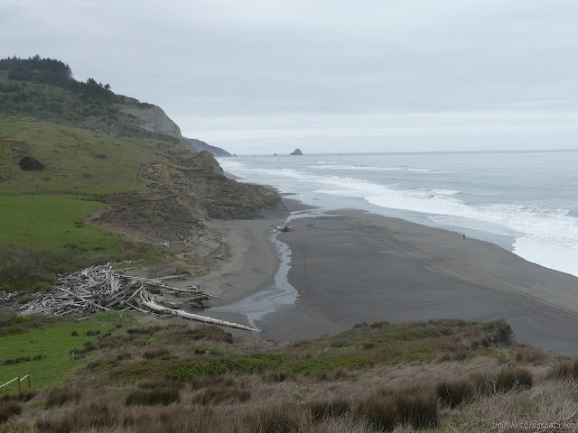
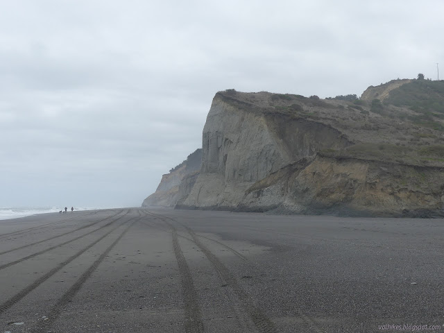
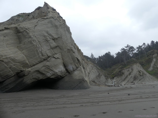
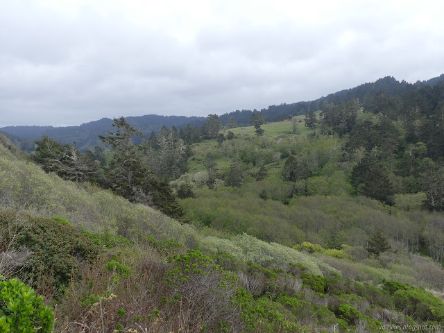
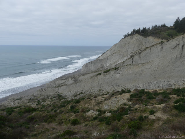
I was rather impressed with the cliffs when I got down to the bottom. The whole area is clearly soft and slumping, but it can still hold a vertical surface for a few hundred feet.

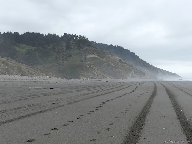
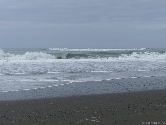
Then I took in the waves a little bit because you're still not supposed to turn your back on it in case it throws up a sneaky extra large one that'll come all the way up the beach even when there is so much beach.

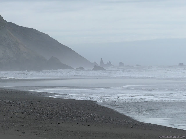
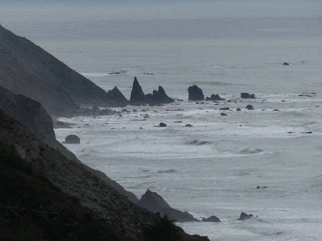
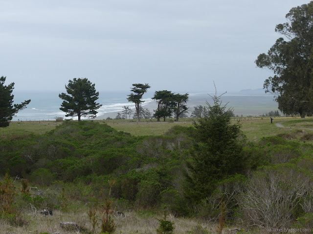
I decided I wanted to get down to those three sharp needles in the distance and started south on the beach. The Guthrie Creek Trail is just a mile along. I suspected the needles were a bit further and had a choke point on the way.

I was feeling no worries about time, so when I got to Guthrie Creek, I went right on past. The creek had a bit more water coming down and my feet got rather wet crossing the delta across the sand. I hadn't expected it to have so many deep spots. Just an inch or two, but plenty to come right in non-waterproof shoes.

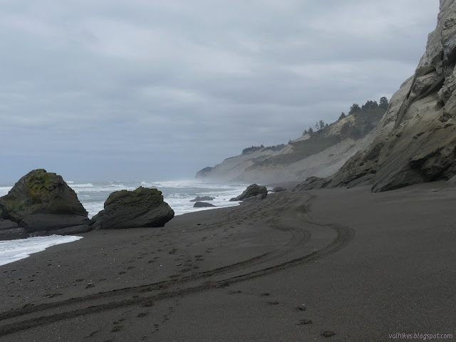
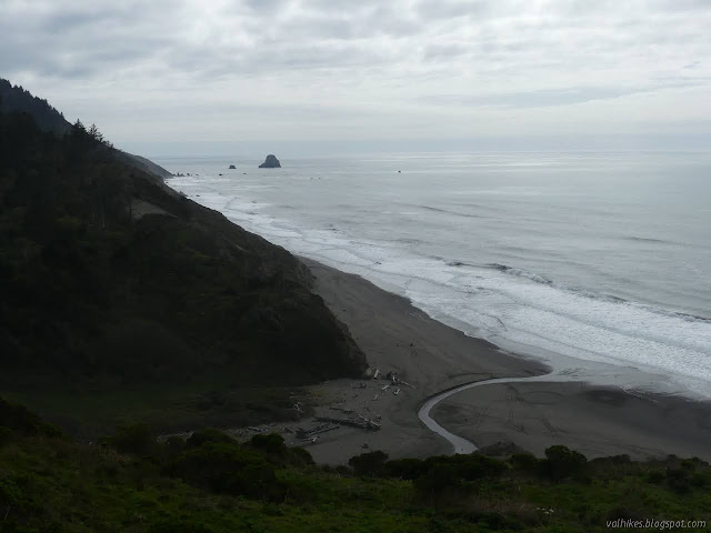
I stopped and pondered the waves again when I got to cliff rocks washed by the edge of the waves. I had to be very careful stepping on the boulders on the beach. They were wonderfully clean but almost as slick as if covered in algae.


Had I not been wasting time in the morning battling with Instagram to let me post multiple photos in a set from my computer, I would have started 2 hours before the low tide and gotten to this cleft at a perfect time to continue on. Instead it was more like the time to be getting back. So I turned back.

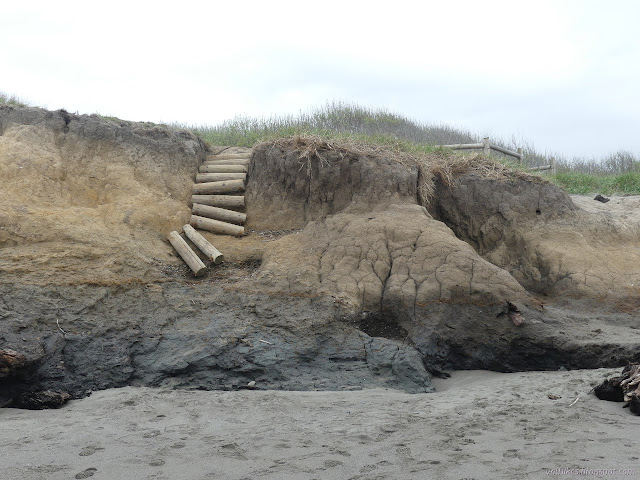
The beach had been clearing off as the tide slowly came up. I watched a pair of women who seemed out to set up a bridge with the driftwood to cross the creek. One had a piece that would get her halfway there. I just went and got my feet wet again in another slog across the delta area. They eventually did the same. The transition of the trail off the cliffs and onto the beach was a little rougher and there were no failing steps to help out, but the dirt was dry and frozen in form and easy enough to climb. This trail takes a mile to climb to the top and does it in a wide track with long switchbacks and an easy grade with random mud puddles along the way.

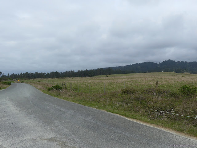
I got to the top to find another well signed trailhead, this one with a vault toilet and a map showing a trail I hadn't discovered prior to coming. I added it to my planned route and started along the road. It is gravel and old pavement and old pavement covered in gravel for various stretches. At first, there are public lands on the left and private lands on the right, then there are private lands both sides. It's all marked clearly until the last stretch down and up in open rangelands.


Back at the parking area, I found the third trail behind a gate for a livestock area. It wiggles through one, past an area where the Monterey pines planted a few generations back are being removed, and across the road to a section with interpretive signs. The area was a naval base once. It arcs to a paved parking area. If one doesn't want to leave the pavement, that is the one to go for. There are more picnic tables and another vault toilet too.
As I got back, I could see the waves of the 4 foot tide beginning to wash the cliffs just south of Fleener Creek. Besides the last couple groups starting to climb up the trail, the lot had cleared out.
©2021 Valerie Norton
Written 8 Apr 2021
Liked this? Interesting? Click the three bars at the top left for the menu to read more or subscribe!


Comments