Russian: Bingham Lake and Russian Peak
Klamath National Forest
(orangey lines, map link)
DAY 1 | DAY 2 | DAY 3
Day 2, my planned easy day! Just 4 miles around from Waterdog Lake to Bingham Lake near the Pacific Crest Trail. The only complication is that there's no official trail up from the PCT to the lake, but the contours are slightly less close than the ones where a trail does go. Also, the PCT through hiker I chatted with the day before relayed reports (on FarOut) that there was a scramble trail up to it. So not that big a complication.

But I couldn't leave it just at that. I had developed a couple "little" excursions over the course of the previous day. The first was a result of checking for geocaches. I found two. One was just under half a mile from Waterdog Lake and the other was along the official trail to Bingham Lake. The latter wasn't so interesting, but the former promises a view of both Lower Russian Lake and Golden Russian Lake. Well, I still hadn't seen Golden Russian Lake, so I left camp and started on the cross country journey to the minor peak at the edge of the wilderness. It was a little more work than expected. The forest is dropping a lot of branches, but the deer and cow paths helped me find a way along the ridge.
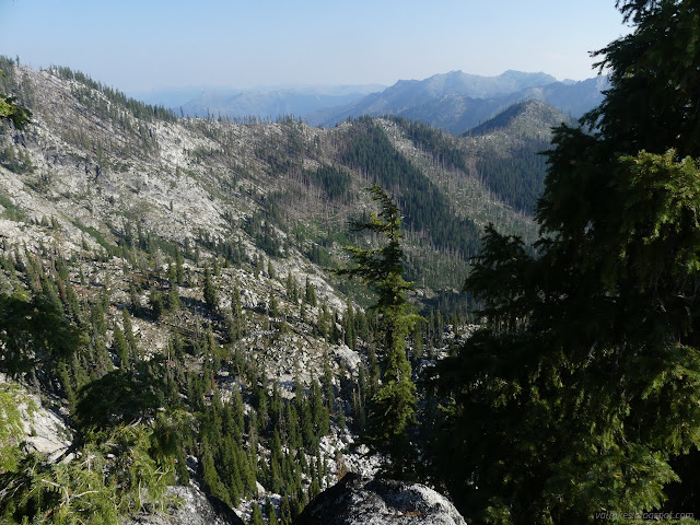
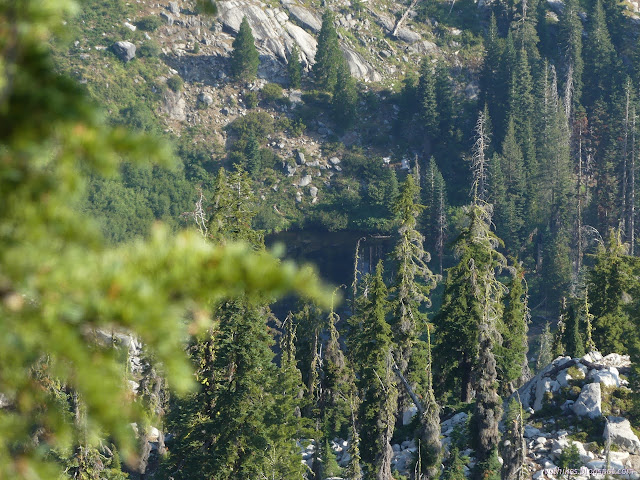
It's a bit of a stretch to say the geocache has a view of Golden Russian Lake, but it does sit on the peak that tops the ridge that hides it from my camp by Waterdog Lake. I had to scamper out across a steep sandy slope that sits above a very high cliff to really see the lake, just a bit more west of the hide. But I saw it.
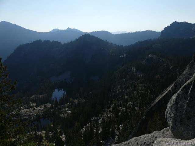
I signed the geocache and tucked it away again. It hadn't been signed for years and might wait just as long for the next. Then I headed down. I decided to drop down to the trail below. I headed east or dropped depending on what was simpler travel. Deacon Lee Trail was easy to find as it is well traveled. Both the groups that came up the evening before used it, in fact.
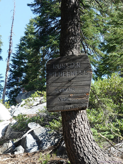
I got back to camp and packed up. I started to hear teenagers as I headed out. They weren't traveling yet. I could hear them well enough to know they were just playing around the lake. Those poor fishermen. I headed out, back to the PCT, but paused a moment at the top of Six Mile Trail to see that it is well established two track with a well used camp at the first bend.


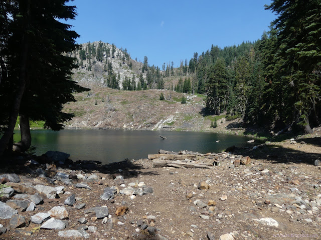
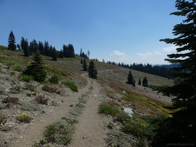
Then at the junction, I turned northbound on the PCT once more. It climbs to nice views, wrapping around to the east before finally crossing into the wilderness.
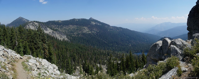
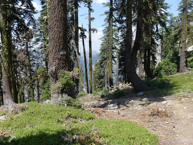
And then it's right back into that same old view, this time looking the other direction.

There are some excellent challenges to irrational fears of heights on the way, but the slide area I had spotted from the far side wasn't much of one.
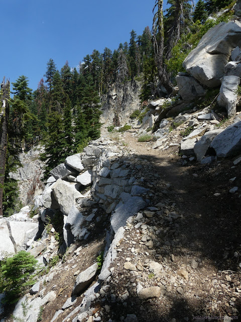
My expectation for a trail up to Bingham Lake was on the gentler north side of the outlet. Instead, there is a distinct scramble trail up the south side. This one may be winning simply because each foot on it creates so much more effect due to the steepness, making it that much easier to see. I spotted cairns on the other side as I took the current one up.
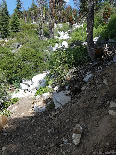
Halfway up is a small pond and the beginning of finding campsites. I crossed over to obvious trail on the far side here, but the normal route currently continues up south of the outlet.
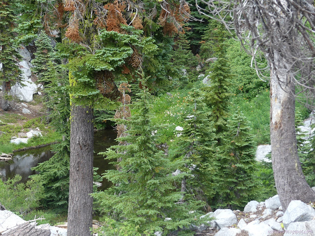

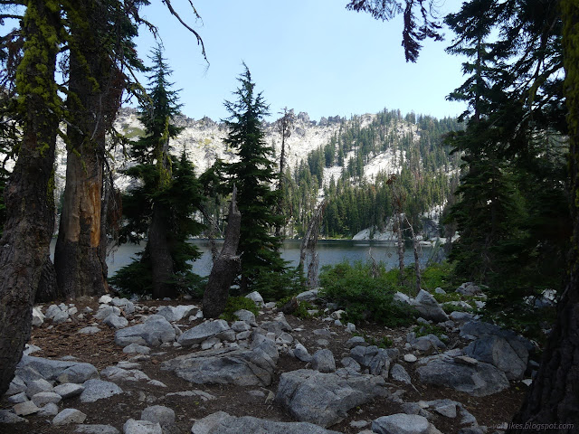

So that's the day's travel done. I found the second excursion when I noted that the peak north of Bingham Lake is Russian Peak, the wilderness high point. I had it saved to my Peakbagger app, so had the few trip reports stating it is essentially a walk up except right at the top. A very steep walk up, granted. Near the top, there would be some bouldering. Actually at the top, there is a summit boulder. Actually, there are multiple. One will be the "right" one, presumably. I wanted to bag that peak. I'd have to evaluate the boulders when I got there. I picked out a spot and tucked my heavy gear under a tree that would be a good umbrella in case of rain. It wasn't looking as likely as it had the day before. Then I set off on an extravagant "circumnavigation" of the lake.
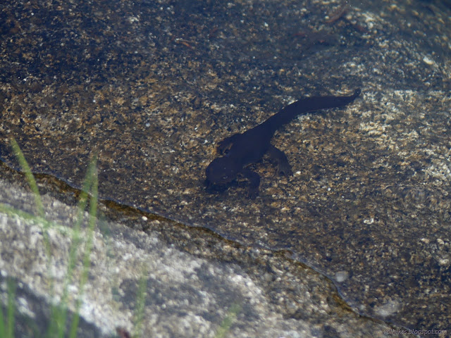
I trudged upward. I was aiming at 1200 feet in under 0.6 miles. Super steep. Besides a lot of scattered sticks on the forest floor, there wasn't much to prevent just going up directly at first. I eventually joined with the general location of the tracks I could see on my app that all came from the Bingham Lake Trail on the other side of the lake. They don't agree much until hitting the boulder bands toward the top. The boulders have thick brush in between, so there are fewer routes. They also have views, which are less prevalent below.
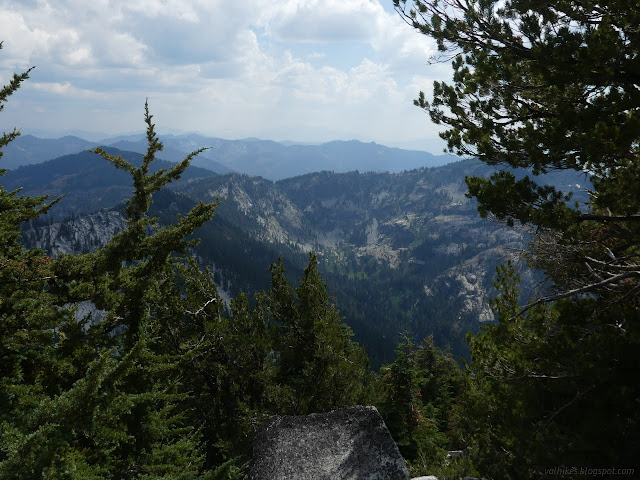
There were quite a bit more clouds than when I started, but it still wasn't looking as much like rain and storm as it had the day before when nothing came of it. I put my camera away halfway through the boulder scramble zone. There's not much scramble, but it's mildly challenging when required. The summit boulder is one that towers over my head and gets there in fairly vertical fashion. I definitely wouldn't be going up it, whichever one it was. Scrambling around them for the views was mildly challenging too.
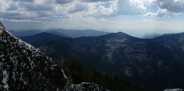


Do I count it as bagged? Not sure. I didn't climb the summit block of Pacifico and seem to count it. Then again, I feel like counting that one might be due to peer pressure. That climb was a far too well attended (something like 70 people) Hundred Peaks Section hike. Only a couple went up the 40 foot rather vertical sided block and most everyone was counting it. Still, I certainly felt like I was on the top. On the other hand, there were directions I didn't quite see.

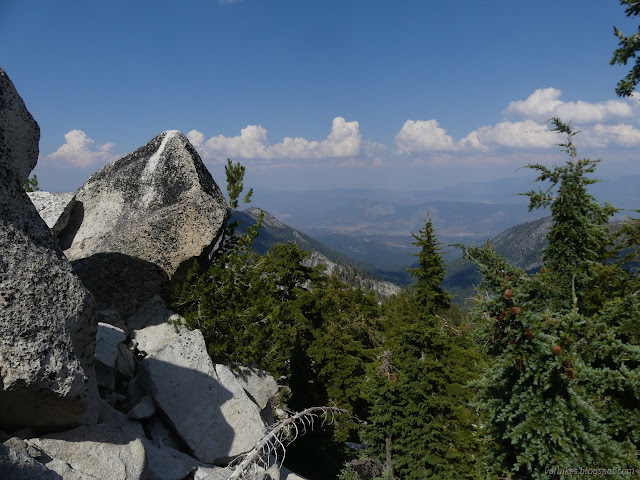
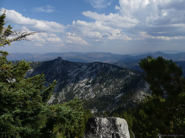
I decided to go down toward the west rather than south. This ended up skipping a lot of the bouldering challenges for steep hill. I had to more consciously work south since just going downhill could lead to the trail instead of the lake.

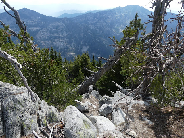
Getting down to the lake again took a bit of time. I didn't want to take a tumble over any of those loose sticks and rocks. There wasn't much need for resting like there was on the way up, so it was still a lot quicker. Once down, I continued on my circumnavigation of the lake. It looks like a place where there couldn't be many camp sites, but I found two well used ones on the way to where the trail comes down. There's another at the bottom of the trail.
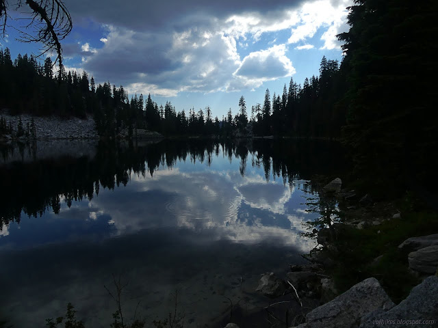
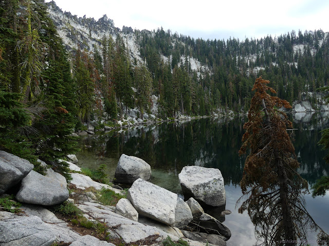
At the trail, I started up. This was really only because the second geocache I'd spotted was up at the wilderness boundary along it. My original thought on seeing it was to at least go up there and see the new view. After going up Russian Peak and seeing the view right over the top of the ridge, it would be a bit less impressive, especially since it is covered in trees and you can't see out from the top.
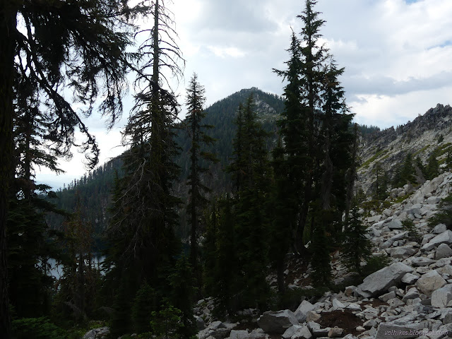
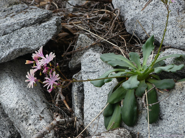
Even though it's included on my Forest Service topo and is a system trail, the tread isn't much better than the use trail I'd followed up to Bingham Lake. It scrambles upward with tiny wiggles and clues that it might be different each year.
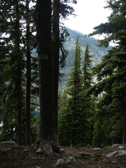
I searched for the geocache, which hadn't been found for a years, one more than the last, and came up empty. I kept going until that unthreatening weather started rumbling nearby and throwing balls of ice at me.

I once again restarted my circumnavigation of the lake. The south side has some boulders that look like they could be a challenge if wet. Turns out, Lems has a good, sticky sole for this sort of thing and I found them to be trustworthy as I got hit by big rain drops.
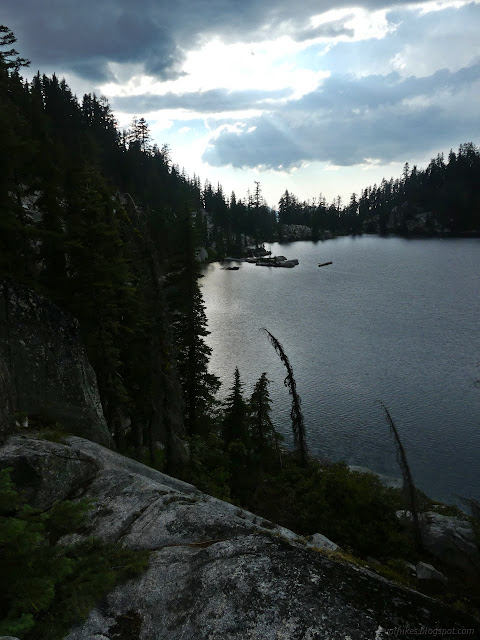
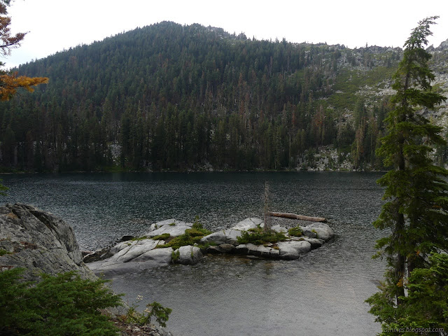
I got back to my chosen site to find that the tree was keeping everything dry, even the only half sheltered bear canister that didn't need the care. Also dry was the nearby fire ring, which was rather mysterious considering it wasn't sheltered at all and the edges were wet. In fact, it was quite hot with a deep bed of coals. It swallowed up the first bucket worth of water I poured over it without even noticing. A couple more and a little stirring and it was very dead. Sure, the chain of events that leads from that bed of coals to a forest fire is low probability, but humans perform the experiment so often that those low probability events end up happening multiple times each year. This forest is not super healthy, part of why the ground is so littered with dead branches, and it is ready to go up in a conflagration. People really need to get better about their fire habits.
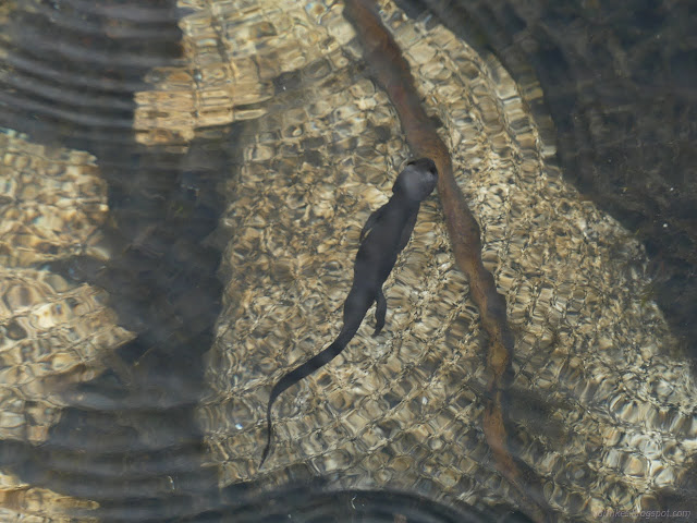
I got my tent up after the rain stopped. It looked like it could do more later. I gained neighbors in the early evening as it was still raining. They found a couple sites on the first bit of those rocks over the lake and even managed a quick swim, a little fire (which got put out), and quiet chatter before calling it a night at a reasonable hour.
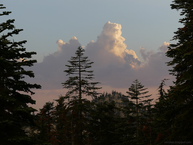
It didn't rain again. It was another good night even if a bit more crowded than I'm used to.
same trip, next day ⇒
*even more photos in the album*
©2023 Valerie Norton
Written 8 Sep 2023
Liked this? Interesting? Click the three bars at the top left for the menu to read more or subscribe!


Comments