Etna: Albert Lake and Pacific Crest Trail
Klamath National Forest
(blue lines, map link)
DAY 1 | DAY 2 | DAY 3
For my first trick this day, I figured I would pop up to Albert Lake, but probably not all the way up to Upper Albert Lake. For my second trick, I was aiming at a little more time on the PCT heading south to a saddle above Lipstick Lake and back. Finally, I'd pack it up and head on back to the car and get myself on to the next thing. I was kind of looking forward to the next thing, but first the current thing needed its due attention. I doubled back to where a trail had started to climb that was labeled as "Albert Lake Trail" on my OpenStreetMap. It got me right back to my camp and then up through the meadow and through the alders where someone had hacked them back a bit. There might have been a bit of trail there once, but it's certainly not where the people are going now.


Past the swamp alder, I found a much better used trail and followed it up. It is steep and braids and I didn't quite find a route that didn't require hands briefly, but the whole route seemed solid enough.


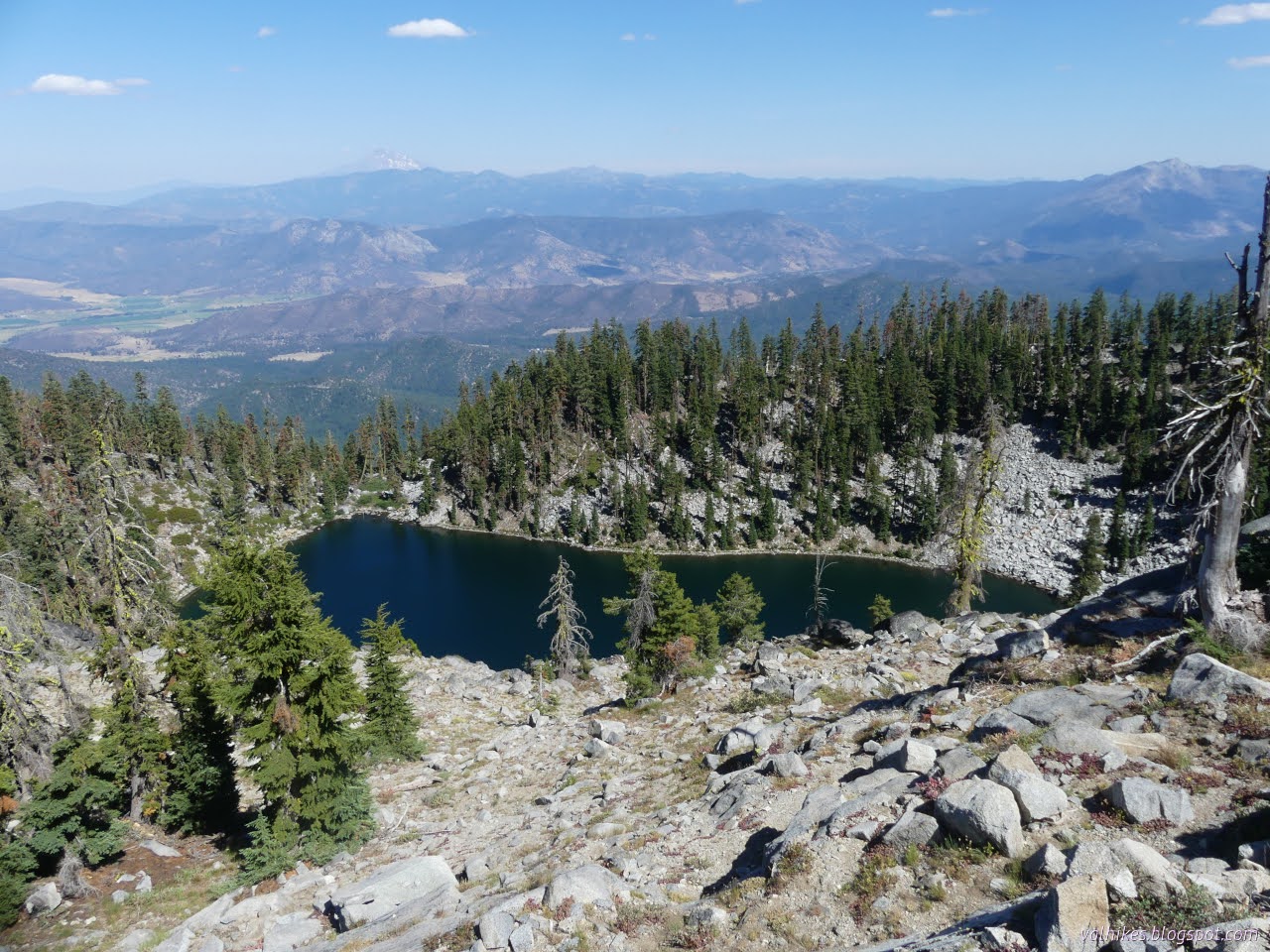
After a little bit of flat and even a smidge down, there's Albert Lake and a spot that's been used as a camp.

I crossed most of the outlet on some logs but indeed did not end up continuing up to the upper lake.


I headed down, ending up on a different handhold requiring spot as I got a different strand of the braided trail. I kept to the usual route and ended up on the same trail I'd followed to get water the evening before.


One excursion down, I took off on the next, wandering off to see new sights along the PCT.

Around the corner, I found myself in the 2014 Whites Fire footprint. It's the same one that was visible on the edges of my hike into the southern portion of the Russian Wilderness when I had views of Lower Russian Lake.


I got to the saddle and found thick forest, or rather former forest. The fire was bad there. Now I can get a bit of view through those standing corpses. It wasn't quite hot enough to be longing for the cool these once thick trees would have offered.


I turned back to repeat a bit of trail, pack up camp, and repeat some more.


My camp had achieved full sun by the time I got back, so packing up wasn't so pleasant. It was fast. I headed off to stop at that beautiful spring fed flow just down the trail for some hiking water.

Then off to that Taylor Lake overlook and a little further on more repeat trail.


Past the junction with Meeks Meadow Trail, there's a few miles of new trail and some views I was looking forward to.


After the lake, there's a bit more ridge walking back to Etna Summit.


I hadn't seen too many people on this part of the PCT, but then there was a southbound hiker with a chrome dome. I had just dropped to a level where the heat was starting to be uncomfortable and I have to admit I was jealous of that umbrella. I had a chance to grab one cheap from Six Moons when I was in New Mexico and now I'm pretty sure that's the one I want. There's a bit of regret on days like this.

Back at Etna Summit, I had one more task. I wanted to find an azimuth mark. I read the "reach" for the Etna Mountain benchmark when I was at its peak to find out if there were references and get some clues where to find them. I found out they also put an azimuth mark at the summit, although the location description wasn't very exact. I looked around where it seemed it should be, but found nothing more than an orange painted post. The description includes a distance from the road centerline and it's close enough that it may have been lost when the road was widened and paved. A mild disappointment after a very successful trip. Azimuth marks are a greater challenge to find.
*the photo album*
©2023 Valerie Norton
Written 14 Sep 2023
Liked this? Interesting? Click the three bars at the top left for the menu to read more or subscribe!


Comments