Boulder: Lower Wright Lake
Klamath National Forest
(brown line, map link)
DAY 1 | DAY 2
After (mostly) bagging, the Russian Wilderness high point, and having once realized that Black Marble Mountain is not the high point of the Marble Mountain Wilderness while atop it, really getting the Marble Mountain Wilderness high point got a bit tempting. The actual high point is the generically named Boulder Peak and the usual approach for peak baggers is via a low standard road that gets one quite high up, around 6400 feet, on the way to 8300 feet. However, if one is limited by a vehicle with only 6 inches of clearance (like a Scion xA) and willing to do the climbing, there's a nice secondary road up to the Boulder Creek Trailhead right around 3800 feet. The narrow road was starting to feel maybe a little rough, but the little car made it with no mishaps the evening before. Camping can be had on a spur leading to the old ford of Boulder Creek (there's a bridge now) or just past the trailhead parking.
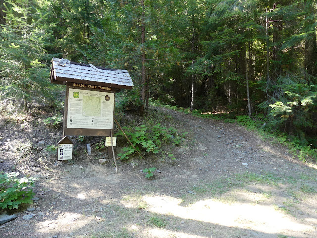
Even with that 4500 foot climb over 7-8 miles, it's quite possible to do this hike in a single day. I seemed to be set on backpacking everything, so planned it as an overnight. First day would be about 5 miles to Lower Wright Lake sitting around 6900 feet. Sure, I'd have got 500 more feet behind me for the second day if I went to Upper Wright Lake, but I asked the map and it said this was the prettier one. In the morning, I'd go up to Boulder Peak and loop down via Second Valley Trail. The last bit up the peak is technically off trail and the map at the trailhead identifies Second Valley as a secondary trail. That's supposed to mean it just isn't kept clear of trees for stock, but in practice could mean it has less trail than the off trail route to the peak that does get hiked. Whatever, it's downhill, thought I, and started up the trail.

There's an old steep road and a decommissioned well graded gravel road both climbing and the trail takes its pick between these two routes or just goes its own way, climbing ever upward. I got caught out again trusting the map about spring water. There wasn't much filtered water in camp, so I decided I'd just pick some up at the last crossing below the spring feeding a small stream beside the trail. Well, it was more of a wide seep well below the marked spot and I had to hike back down 400 feet vertical to grab some once I'd found the crossing dry. Or perhaps... well, it does come up to the newer road and turn left, but a way down to the right are more potential springs. Maybe I didn't have to go down so far. I didn't check them out then or later, so maybe they're just another bit of teasing by the map.
Whatever those roads did once, they finish before the wilderness boundary. By that time, it is trail and stays trail.
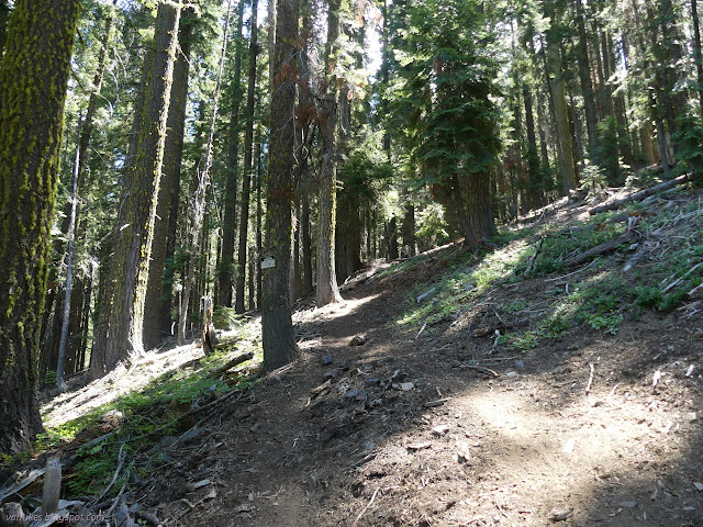
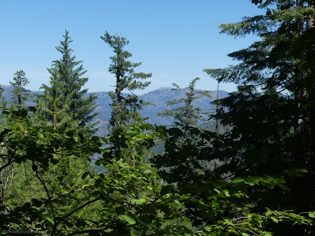
Upward, ever upward, I went. The trail barely pauses in its upward progress and certainly doesn't lose any. The trees seemed to be thinning and letting in more distant views.
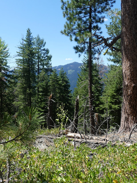
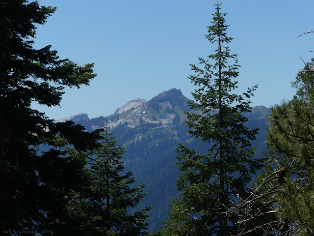
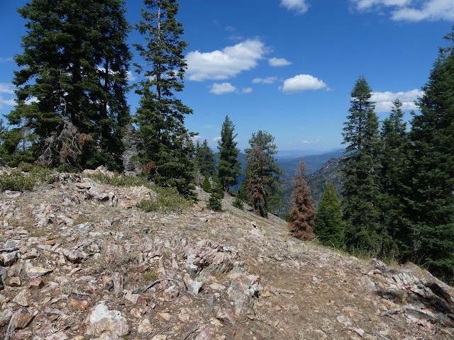
Trail was quite visible on both sides where my loop splits. This is misleading for the state of the other side of the loop since Second Valley meets a primary trail before the loop finishes. Still good to know that that one is good. In fact, this junction is a triangle of trails and the other leg was even better traveled.
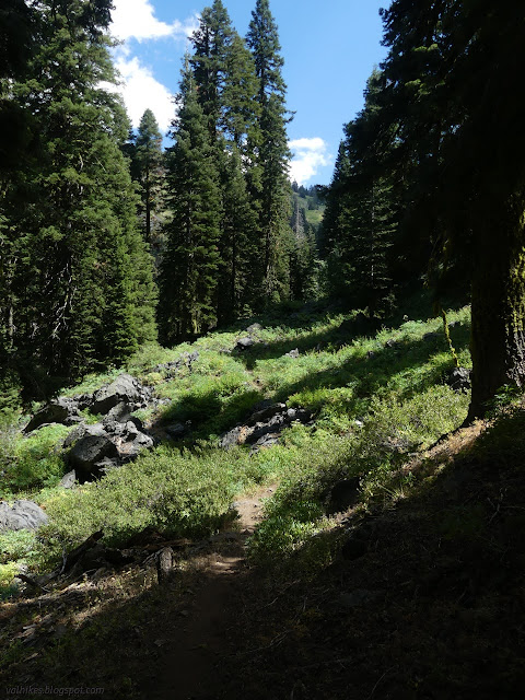
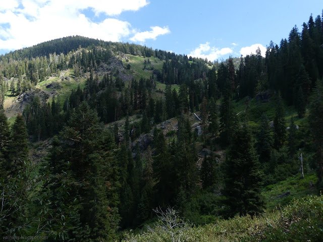
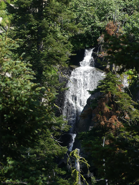
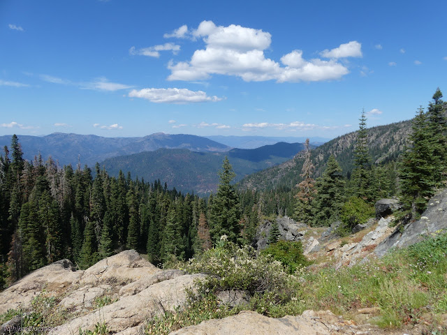
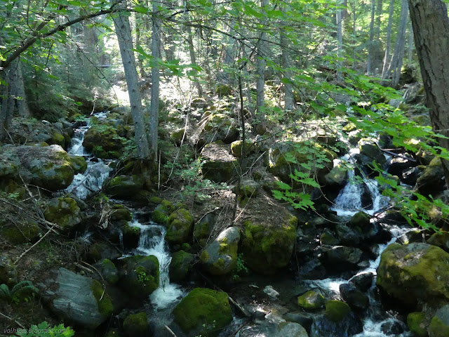
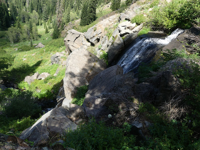
After a stretch of rocky trail, spring fed water on the way not so much crossing as joining briefly, flowers growing thickly and obviously required a good hack back recently, I heard the roar again, but much closer. I scrambled off trail again and am quite surprised I wasn't on a little use trail as I did. I got another look at the waterfall as it plunges over the boulders of Boulder Creek.

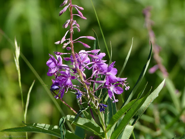
After a while, I got going up that last little bit of hill to get to Lower Wright Lake. It takes a crossing of Boulder Creek and then a meadow flooded with flowers.
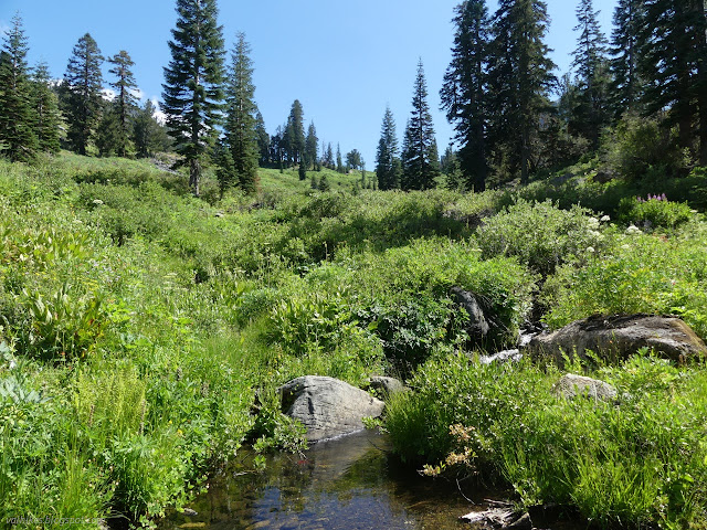
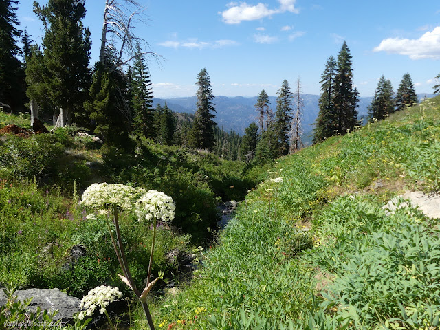

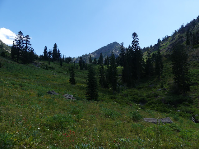
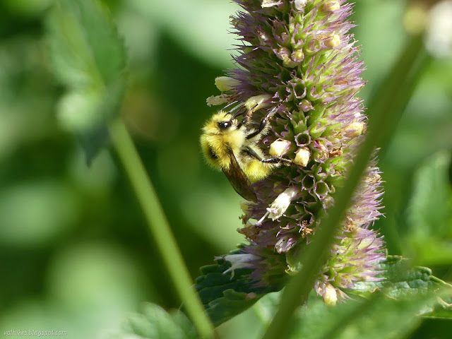
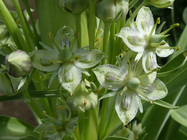
The trail keeps on climbing, going well wide of the lake just as the map says it will. I could see the spaces by a couple single trees were well used as camps but was starting to think there would be no trail down, so contoured around on the hill. Eventually, I found the trail after all. It goes into the first camp, but I was set on the further one.
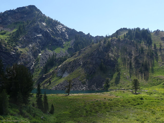

The far camp was excellent, so I set up and wondered what I was doing with the rest of the afternoon? Eventually go up to Upper Wright Lake after all, probably.
But I was still certain this was the pretty one. I wandered the shore a little and meditated upon the lake a tad and wondered about the bubbles. There were bubbles welling up in one spot. Then I spotted some in another spot way off to the right. When I looked back, a new green mat of algae was floating in the water. More bubbles and another ripped from its hold at the bottom and welled up. And another and another.
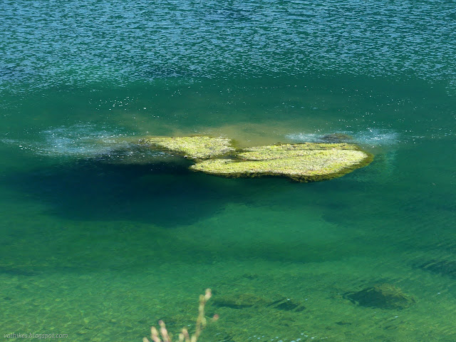

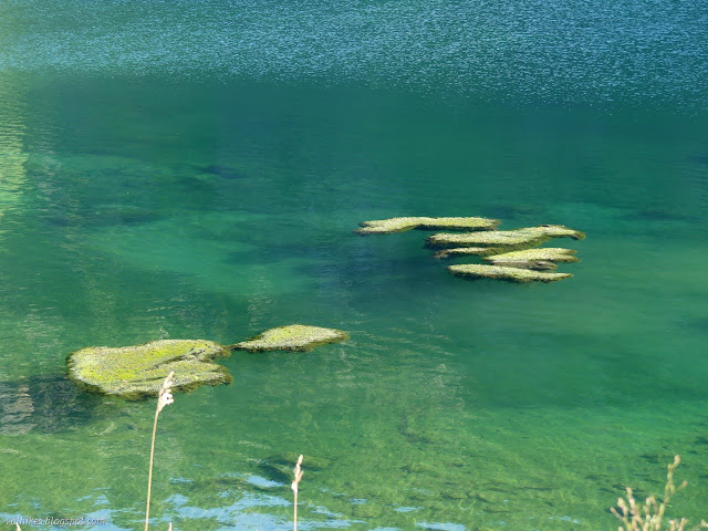
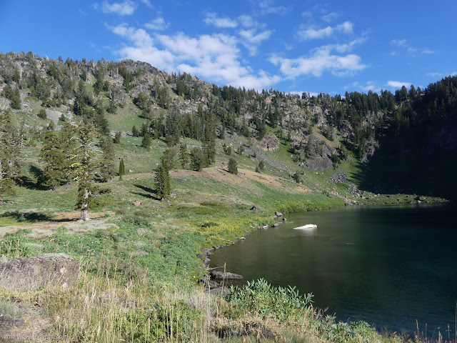
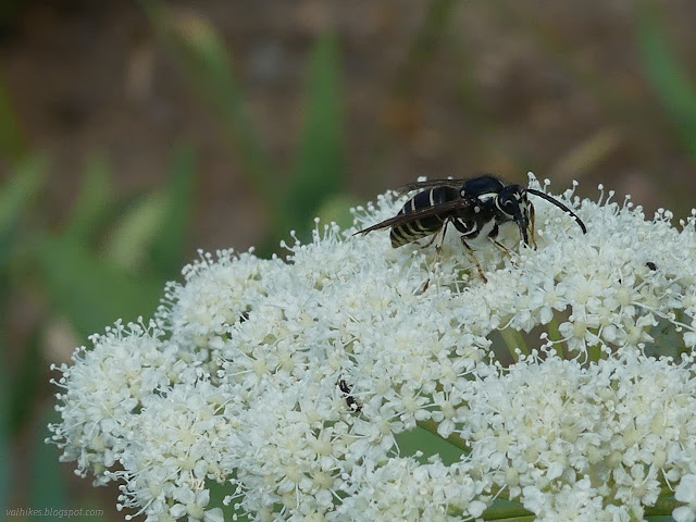
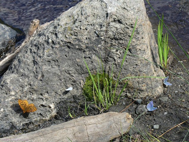
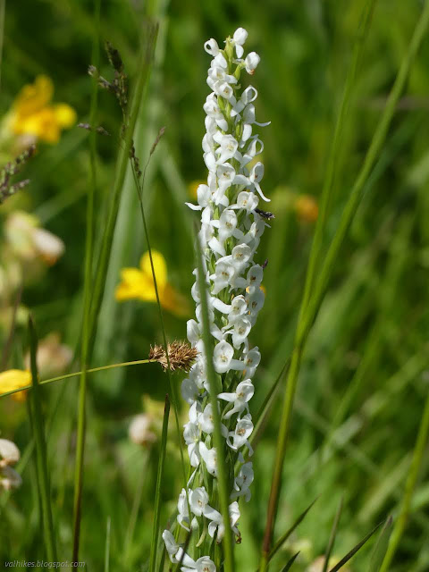
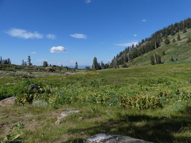
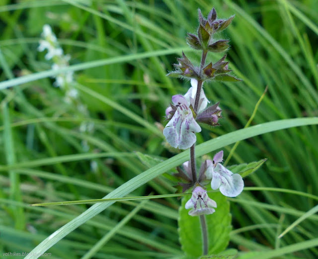
So that was exciting. I also wandered through the meadow checking out what lives there.
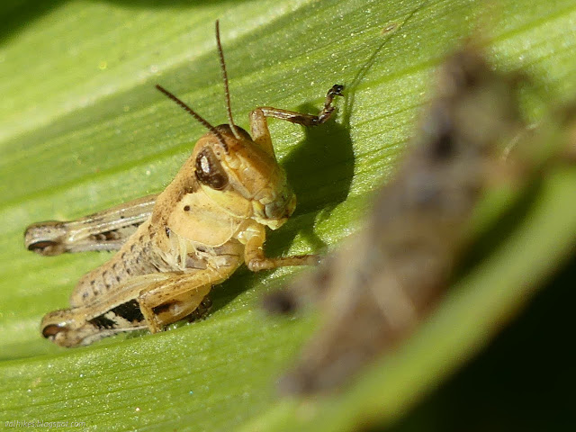
I managed to hang out at the big lake right through the evening.
Same trip, next day ⇒
*the photo album*
©2023 Valerie Norton
Written 16 Sep 2023
Liked this? Interesting? Click the three bars at the top left for the menu to read more or subscribe!


Comments