Boulder Loop: Mill Creek Lake, Washbasin Lake, and Big Marshy Lake
Klamath National Forest
Shasta-Trinity National Forest
(blue lines, map link)
DAY 1 | DAY 2 | DAY 3 | DAY 4 | DAY 5 | DAY 6
Before leaving East Boulder Lake, I had an excursion planned to see Mill Creek Lake and Washbasin Lake.

So I took off on the trail below my camp. As long as it was near the lake, it had lots of footprints. As I started climbing, every one of them vanished. I got distracted trying to find the "real" trail after a long fallen 4 foot thick tree on an early switchback before just getting on with the rest of the turns. The lake slowly lit up as I climbed, but I stayed in shade almost to the top.


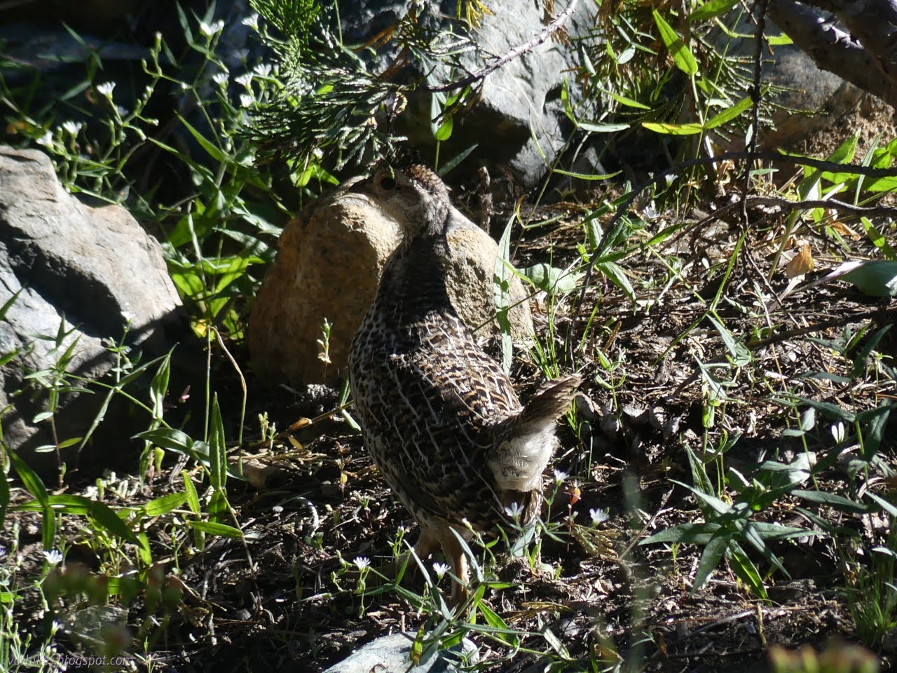
Trail is good down to the edge of the meadow, then nothing. The map suggested continuing along the rocks above the meadow, but there's not trail there either. I just hoped there was something on the other side and crossed, careful not to splash into anything. There was something special about that meadow, but I didn't delve into it too much yet.

There was trail on the far side. Soon there were a few more than strictly necessary. I chose one and went with it and it seemed to work. Evidence of old mining activity was frequent.


I passed a faint hint at maybe a junction in the vicinity the trail to Washbasin Lake is mapped and decided to start with Mill Creek Lake. There were still many choices in trails, but some footprints. A fellow passed having made choices from the other direction that placed him on a different trail. He was part of a family of equestrians who were camping at the north end of the lake in a well used spot. I ended up chatting with another on the way to the edge of the lake.


One down, one to go. I started up the hill again, not hitting the same trail I came down on even in spots where I intended to.

The faint junction didn't pan out. I decided to just go up to the shelf above and follow that around hoping to find trail along the way. Travel along the shelf was less easy than I expected.

I followed a game path down to some trees that I suspected were on trail. Didn't find anything. I climbed up to Klatt Mine as the map says, marked mostly by another pile of waste rock, and eventually found trail along the upper side of the many prospects dug in a line near it.

So I followed that trail around. It's hard through a bit of forest and appears again on the approach to Washbasin Lake.


I made a difficult way down the steep side to the water level. Below the water, the sides continue steeply, so the lake gets deep quickly.


I headed back along the trail, at least as well as I could. Then it was up and across and trying to sort out trail across the meadow. There were a couple cairns at the start on that side which indicated a lower crossing than I'd done. That route passed by even more special flowers and I had to stop to take in a few.


But I still had places to go, so I tore myself away from the little flowers and made my way to the obvious trail on the far side to go back up and over to East Boulder Lake. On the way down, I pondered a third trail I kept seeing traveling north between the East Boulder Lake Trail and Little Mill Trail. It seems to wind along the side of the mountain staying perfectly level, so much so it must be a ditch.


I got back to camp and packed it up to head up and over and down to Big Marshy Lake, past the bit of inholding with Little Marshy Lake, then back a bit to stop at... somewhere with water. Since there was plenty crossing the PCT above Tangle Blue Trail, there would be plenty at it too. It's just a matter of finding a spot. Or I could decide I was too tired to keep on exploring these lesser used trails and turn onto the highway that is the PCT.

There's no clear trail across the meadow around the inlet water to East Boulder Lake, but everything else is really clear. Even extra trails to camps and other lakes are clear. It's also comparatively busy. I encountered three different groups and the briefly abandoned camp of a fourth. These were new groups since the one I shared the lake with overnight.


I decided I wasn't so tired that I had to take the easy way out and I'm glad for it. After crossing the PCT, East Boulder Lake Trail gets a little less use, but it is still pretty easy to follow as it drops through meadow after meadow.


The trail doesn't quite go to the lake, so I cut across a bare spot and over a small rise to see Big Marshy Lake. Expected mosquitoes by it or in the area marked as marsh above it didn't show up. It would be a nice place to camp after all. I even spotted a couple campers on the far side of the lake from where I settled for a snack.


Then I was off to Little Marshy Lake, I supposed. The map said the trail would pass by it.

The trail below Big Marshy Lake was much better used, and then, just after entering the inholding the trail runs through, I encountered the Forest Service's dirty little secret: there are roads in the wilderness. This inholding entirely surrounded by Trinity Alps Wilderness is served by a maintained and regularly used road. They don't map roads like this although you can see hints of this one roughly following the same route as the PCT from Scott Mountain Summit. They map a trail that crosses the creek to Little Marshy Lake and goes downstream. I looked across the creek to the collection of little cabins on short stilts and suspected that wouldn't be the preferred route by the landowner even though there was a sign like a trail had just ended at the road. There were quite a lot of footprints on the road, so I stuck to it hoping things would become clearer. Between the Forest Service topo and the hints provided by OpenStreetMap, in need of quite a lot of editing in this area, there were the clues that I should go down to an intersection of roads and turn right.

A driveway breaks off to ford the creek and go to the cabins and then there is the junction. It was little used and none of the footprints went that way. I forded the creek, which was a layer of water a fraction of an inch deep across the road. A large cairn marks where there might have been a trail rejoining the road system once. A sign marks the end of East Boulder Lake Trail (officially) at Tangle Blue Trail. That really is trail quickly leaving the inholding again. The other direction follows the road a little longer.

I chuckled that the destination for my direction was Telephone Lake. The trail is about as disused as the road, but there are some coming along it. They've marked the trail with cairns, but they've also marked alternate routes through the meadows with cairns. At one huge downed tree, that alternate route looked really good.

Someone has captured a bit of old telephone wire under one cairn. Shortly after that, there was a huge wad of the thick wire gathered up. Telephone wire used to travel along a trail with Telephone Lake for a destination? It's possible the lake was named because there was a telephone there. It wouldn't be the only one.

I figured I had a minimum of a mile to hike on that trail before I'd find a good spot to camp. My nominal goal was further, but I suspected the first good enough spot would be the finish. It was getting late.

With a few minor navigation challenges, I got to some pretty clear trail to go over a ridge, leaving the Tangle Blue Creek tributary I'd been following for Eagle Creek and getting a look at the Eagle Creek Benches.


I came upon a wide meadow where I expected there might be some water (only a spring high above is marked) and a campable spot. Below the trail was a sandy, rocky dry patch with little growth. Across the trail was a trickle of water that could only be called desperation water. Not quite good enough, but my ears gave me hope. On the far side, I found more water, rushing in a beautiful flow. Now it was good enough. I had a camp which happens to have the best view of any campable spot along this section of trail.

same trip, next day ⇒
*even more photos in the album*
©2023 Valerie Norton
Written 3 Sep 2023
Liked this? Interesting? Click the three bars at the top left for the menu to read more or subscribe!


Comments