Boulder Loop: South Fork Lakes
Klamath National Forest
(red line, map link)
DAY 1 | DAY 2 | DAY 3 | DAY 4 | DAY 5 | DAY 6
From the trails around Carter Meadows, I got all the way to Carter Meadows Summit where the Pacific Crest Trail crosses the road to Cecilville to start my own backpacking trip. There are a number of trails that wander about and then get back to the PCT. I picked out a few and set the reliable PCT for my return. I pulled into a spot that would leave the car baking in the sun from the moment it came up to shortly before it goes down and surveyed a landscape that had not fared well in the 2021 Haypress Fire. It looked like the entire valley of trees had gone up like torches. I tried to stay in the shade of the car's hatch as I packed five nights of food and some emergency potatoes into the bear can. (I was thinking I might overstay my permit by a night and sleep at the camp a mile down the trail rather than find a dispersed spot after. I didn't. Emergency potatoes really aren't appetizing.) Dirty clothes came out of the pack and new socks and underwear went in. Then I put up as many sun shields as I've got all around the windows, locked up, and rolled down the hill in the afternoon sun. I planned a very easy day for the afternoon after hiking out from Long Gulch Lake: just 2ish miles up to some lakes a mile or so off the PCT.
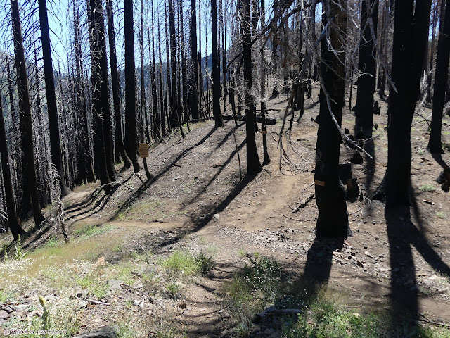
I found myself desperately hoping that the greenest of the far valleys was the one I was heading for.

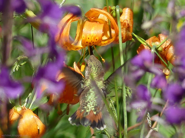
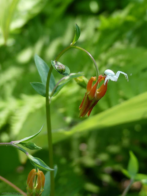
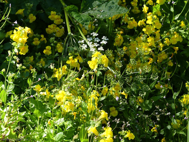
There's a bit of water here. A stream marked as seasonal didn't keep its trees, but it is still a line of green full of flowers. Realizing I'd still not eaten lunch, I paused. This time the hummingbird bobbing about the leopard lilies did come back around to get photographed. I decided to put this whole trip in the "win" column already.
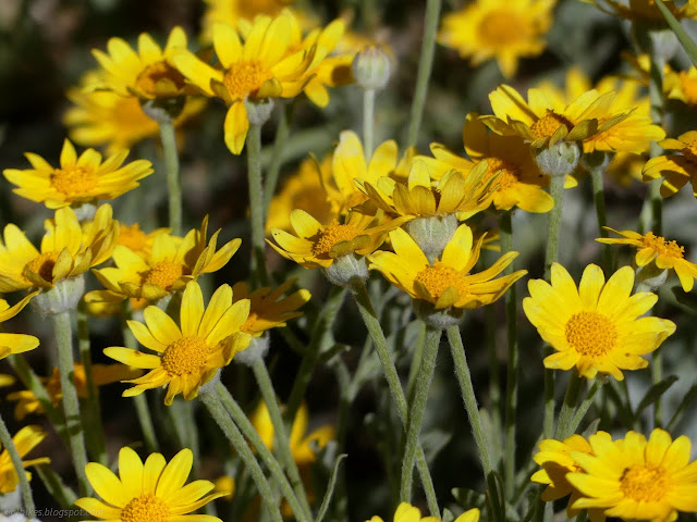
A larger stream is the South Fork, which kept its trees through the fire. There was indeed camping by it. Three well used flat spots were immediately apparent not far from the trail. I'd already passed five people, one that was extremely concerned with how much longer this burned forest would last. (Well, it's green on the other side of the road...)
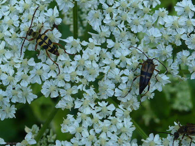
Shortly after the creek of a river, I came upon the obvious but unmarked junction with South Fork Lakes Trail. The lower part as it comes up from some rough roads below was not apparent. The trail climbs steeply to a little valley above.

There seemed to be a lightly used campsite and then the trail started looking lightly used too. It crosses the green valley, never good for keeping a trail visible, then finds an even steeper hillside to climb. This one gave hints at longer, nicer switchbacks once, but storms and time had taken a toll. The one place it looks built is as it crosses the cascading river, at least in those places where it is visible instead of a trust step in the dense vegetation.
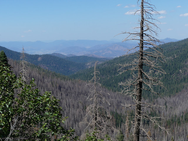
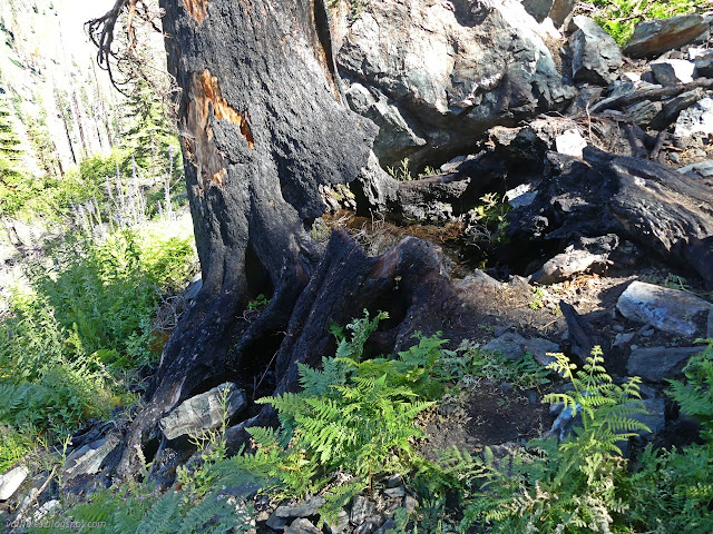
Unfortunately, there was burn to meet above. The trail flattens out through a burned second valley.
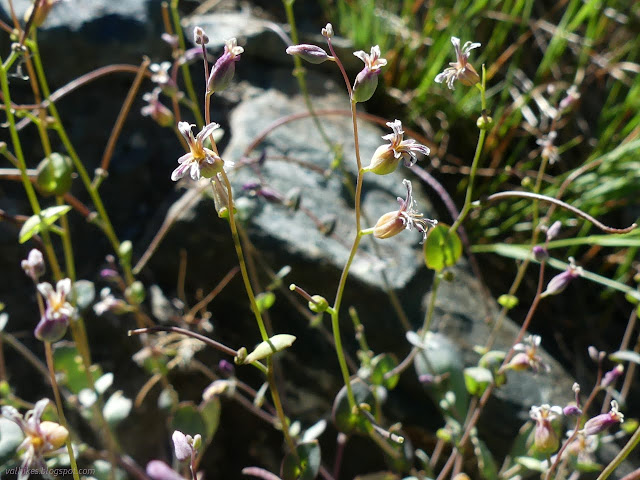
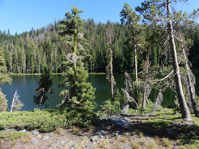
Getting to the lower lake is easy enough. I found a father/daughter pair fishing around it. The trail isn't totally unused. Unfortunately, from this point, the trail is rather covered in fallen trees. Almost half of the lower lake is badly burned.
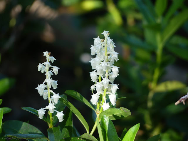
I made my way up to the upper lake, which is not just the larger of the two lakes, but the nicer one to look at too. The pair had claimed the camp beside it although there probably is another.
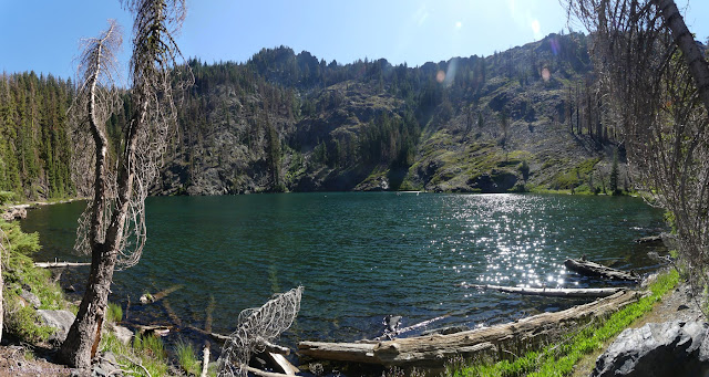
I headed down to the lower lake where there's another well used camp below where the trail theoretically passes on its way higher.
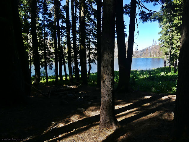

I dithered a bit about what might be the flattest spot and maybe had the most potential for colorful morning light. I expected bad mosquitoes, but they weren't much. I wasn't quite tempted to leave the tent in its bag, but the fly stayed stowed.
same trip, next day ⇒
*even more photos in the album*
©2023 Valerie Norton
Written 28 Aug 2023
Liked this? Interesting? Click the three bars at the top left for the menu to read more or subscribe!


Comments