BFTA Trinity Alps: South Fork Coffee Creek Trail
Klamath National Forest
Shasta-Trinity National Forest
(tan line, map link)
DAY 1 | DAY 2 | DAY 3 | DAY 4 | DAY 5 | DAY 6-7
This day, the target trail was along the South Fork of Coffee Creek. This one is not part of the Bigfoot Trail, but it's always good to have alternatives in good shape too. Besides, it was right there and in need. We hiked up the now clear trail to the saddle above and took to the leftmost trail, not including the faintly visible use trail going up to Deadman Peak. This trail takes a downhill slant that is easily gathering the rain water, so at first we ask trail or erosion? Further down, it got more clear. Both. We had a bit of work before coming upon the first meadow.

Trail faded as it crossed the small meadows. It practically vanished across the large one. We built up a large cairn at one side and continued on... but not that far. This was the only trail that hadn't been walked by a participant before and quite likely the reasons it hadn't come up for anyone was also now making it really hard to find. There were a few more signs of trail, and then basically nothing. Even our tracker extraordinaire at finding the faint signs of compacted soil that is trail was coming up empty. It being already lunch time, we stopped and pondered.
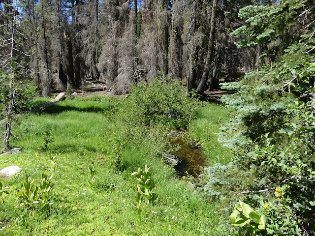
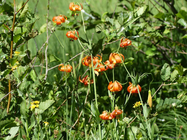
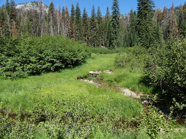
We decided to head out to the creek, which is not visible from the trail but also not far. By blind luck, we came upon a cut log for some minor and unexpected trail doing just that. A log across the creek made a good bridge and I followed it and more trail to the metal remains of an old camp on the far side.
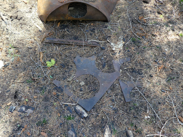
Upon returning, someone even found a sign that had fallen to the trail and broken to pieces. Reconstructed, it only said "trail" and pointed away from the minor spur we'd found. Probably.
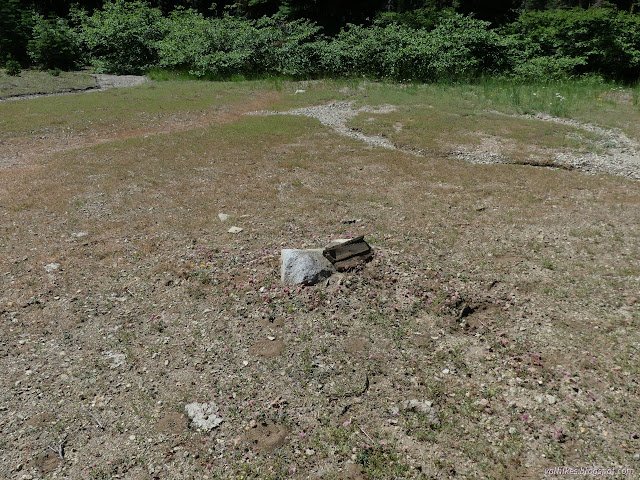
A group of faster hikers broke off to continue along and try to spot more trail. The rest stepped back to further define the trail we knew. The report back was that there are many meadows on the way and very little sign of trail. It is true the Forest Service topo map places the trail higher, but in this area it seems to often be approximate although it usually gets the right general idea.
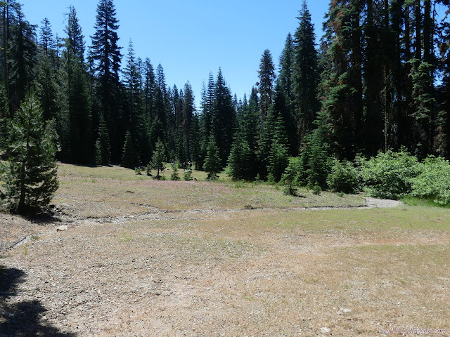
We ended up having a bit of an early day, which averages well with the previous day. This would have been a great day to wander up that use trail to Deadman Peak. (This peak got misplaced in 1934, but in the mapmaker's defense, it was very hard to tell which peak the tiny scroll on the 1931 provisional meant. The correct peak is above the south side of Long Gulch Lake and not the one a bit west of the junction saddle.)
We had plenty of time in the lake, though. I even actually went swimming for what is probably the first time in a decade. I also almost lost a borrowed shoe in the water, which would have been absolutely mortifying. I'll have to actually pack my water socks on these things in case of caving to peer pressure again. The water was almost warm and I seem to float much better than I used to, so it's not that bad.
same trip, next day ⇒
*even more photos in the album*
©2023 Valerie Norton
Written 23 Aug 2023
Liked this? Interesting? Click the three bars at the top left for the menu to read more or subscribe!


Comments