BFTA Trinity Alps: Rush Creek Trail
Klamath National Forest
Shasta-Trinity National Forest
(blue line, map link)
DAY 1 | DAY 2 | DAY 3 | DAY 4 | DAY 5 | DAY 6-7
We were on again for working and back on the Bigfoot Trail from the saddle to Rush Creek Lake. The specific trails we would be working are actually Deadman Peak Trail (9W16), Rush Creek Trail (5460), and ever so slightly onto McNeil Trail (5471) before turning down the trail to Rush Creek Lake to finish the work once more at a lake. Again we proceeded up to the saddle above Long Gulch and this time turned to the middle trail which progresses somewhat level around the top of South Fork Coffee Creek.
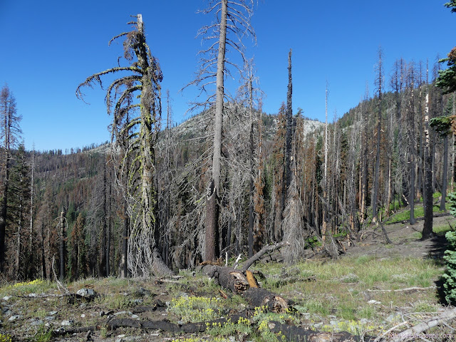
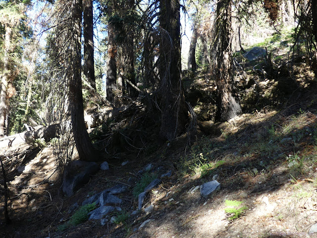
I had a limb saw this day and plenty to use it on. The thing about those heat twisted trees curved over the trail is that they are also fire hardened.

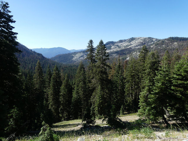
Through the saddle, we found patches of vicious torching and torturing burn as well as lush green spots. Some more views will open up eventually.
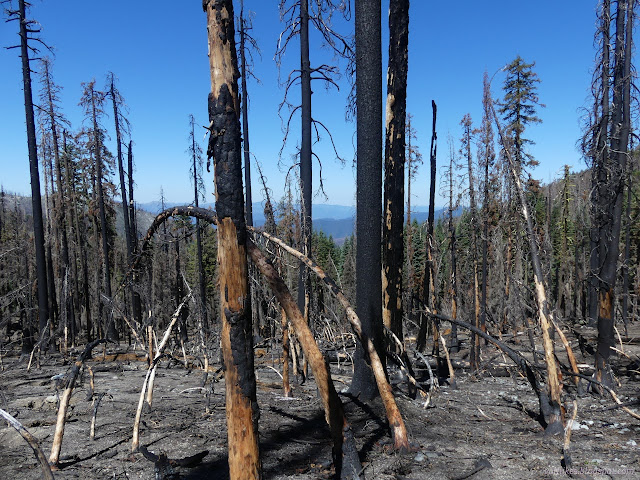
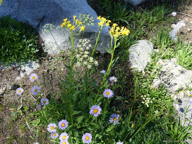
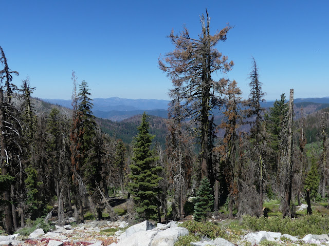

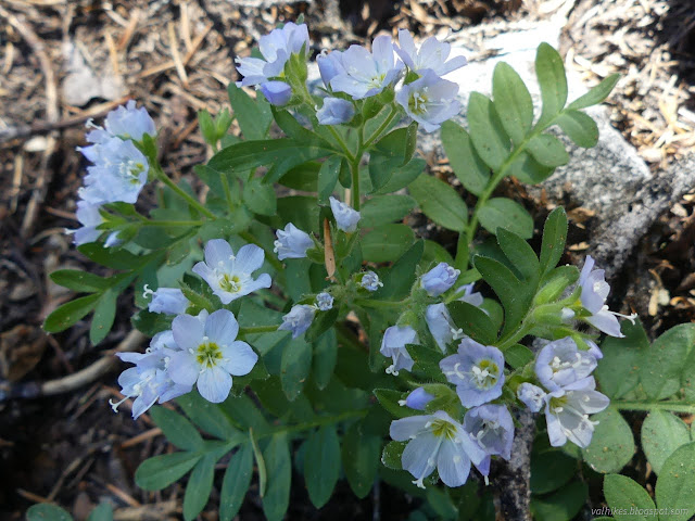

The trail nudges over a ridge and I found many of the crew there, stopped for lunch. The high peaks of the wilderness had just come into view and they were enjoying pointing out that the highest peak isn't the one that you would pick out.
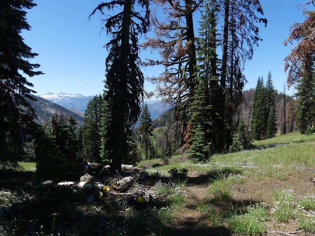


We had a bit of trouble finding the trail as it drops into the valley around Rush Creek. There had been a post marking the corner, but it does actually mark a junction. Garden Gulch Trail, which continues along the ridges and the edge of the wilderness, leaves here, but we were probably having difficulty with an abandoned trail that shortcuts Rush Creek Trail. Past the junction, the trail bed cleared up again.
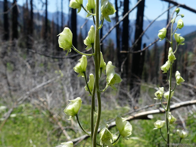
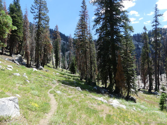
I didn't see Rush Creek Trail as it comes up for the junction with the end of McNeil Trail and I could guess where McNeil Trail continued instead of turning toward the lake, but still wasn't sure. The most obvious trail was going where we went, to the lake.
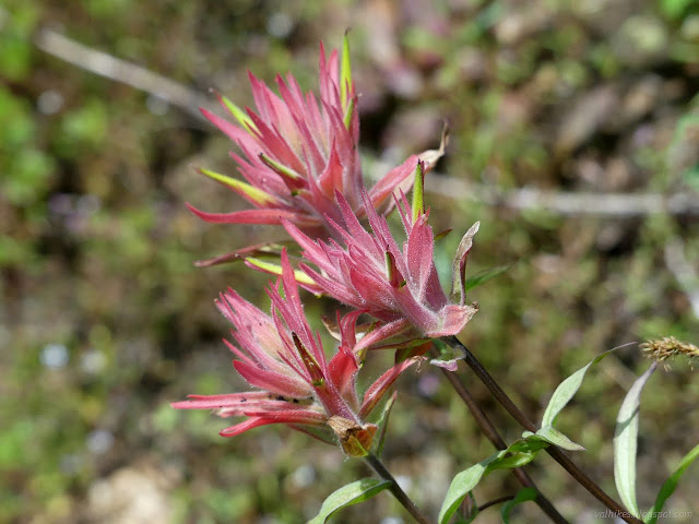
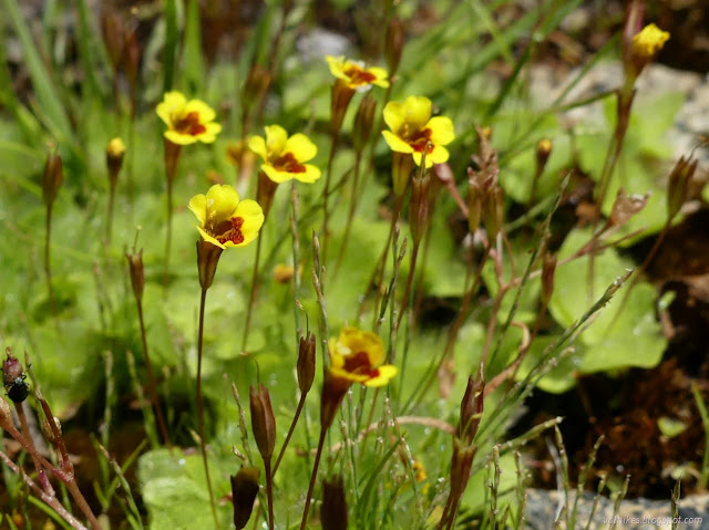
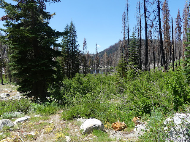
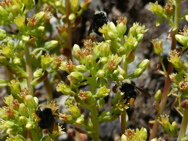
Rush Creek Lake remains a little jewel even among the burn and there are still some good camp sites nearby and along the approach.


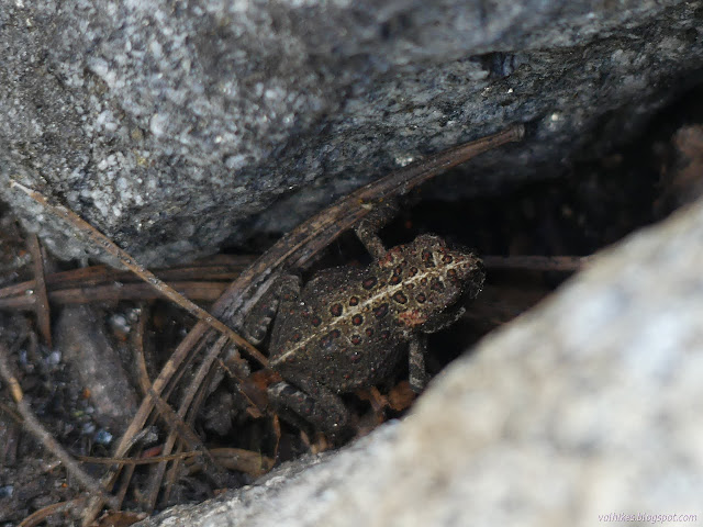


It took a while, but the group gathered together to hike out again.
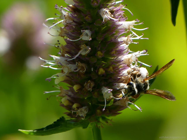
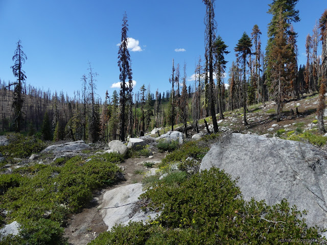
And then it happened... we met an actual through hiker! Not just any through hiker, this fellow was trying for a Fastest Known Time. While people have hiked it through before, no one has actually recorded their time where it gets tracked. He was specifically wanting an unsupported time, meaning everything he had, he started with. It wasn't going to happen. (But we never know what we're really capable of unless we bite off a bit more than we can chew sometimes.) The past many miles over Packers Peak and down to Rush Creek Lake are hosed after the 2021 Haypress Fire. (I watched the faces of Members of the Board droop at this because, although they knew it already. Some of that trail had just been worked right before the fire.) He could get himself to a store under his own power for a resupply and then be self supported, which would still be acceptable to him... but even that was looking tough. But the next five miles was clear of trees! There's 360 miles total.
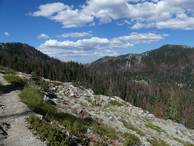
On the way back I played with my Trail Sense app. This is something I found poking around F-droid, the FOSS (free and open source software) package manager, and is a random collection of possibly useful totally offline tools for hiking. It identifies clouds. These above could mean rain and lightning in another 12 hours. (Not this time, but we weren't surprised by that.)
same trip, next day ⇒
*even more photos in the album*
©2023 Valerie Norton
Written 24 Aug 2023
Liked this? Interesting? Click the three bars at the top left for the menu to read more or subscribe!


Comments