BFTA Trinity Alps: Long Gulch Trail
Klamath National Forest
(red line, map link)
DAY 1 | DAY 2 | DAY 3 | DAY 4 | DAY 5 | DAY 6-7
I was signed up for not one, but TWO weeks of trail work with the Bigfoot Trail Alliance. Well, I never actually ever said "yes" to the second week, but I got an email that said I was on the list and reply if I wasn't coming and I didn't reply, so I was committed. And in between? Well, somewhere in between. I was too busy writing up the bunch of hikes around Mad River to get any more detailed than this. This first week was in the Trinity Alps Wilderness. Base camp was at Long Gulch Lake, so the first day was hiking up Long Gulch Trail and Long Gulch Lake Trail and settling into camp. (There's some debate about the identity of this canyon. It was marked as Trail Gulch by USGS since 1955, but was Long Gulch in 1934. Now it's Long Gulch again, lake, trail, and gulch, on the National Map built by USGS. This is sensible. It's the longer gulch of the two.)
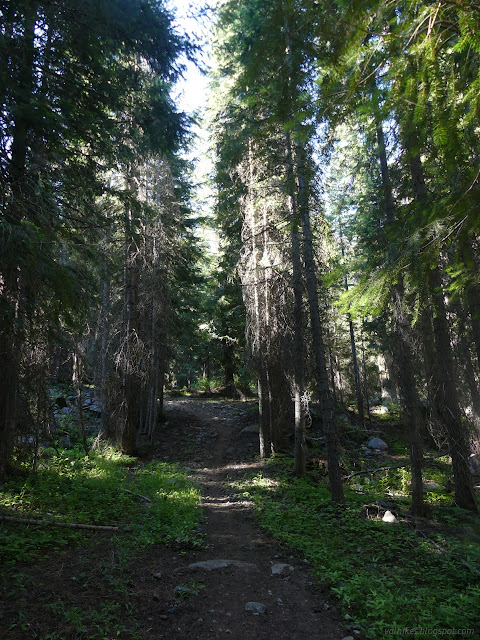
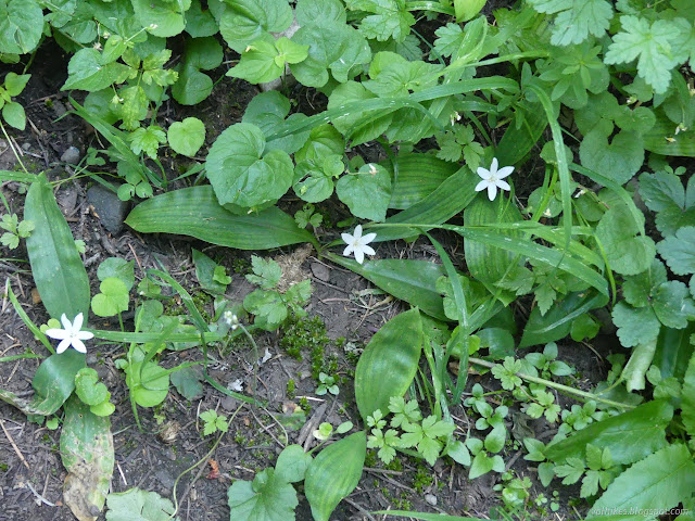
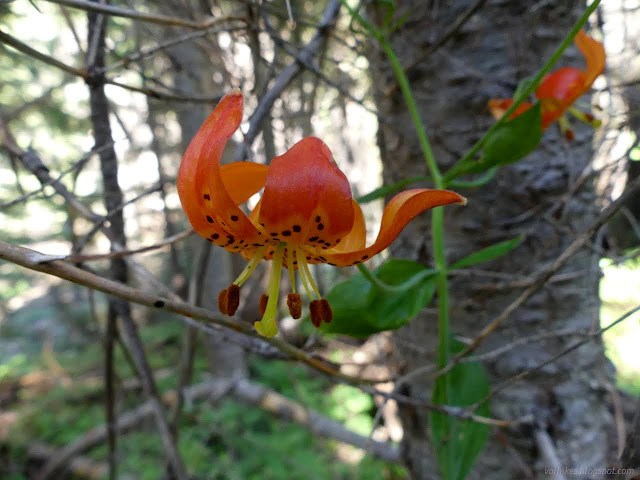
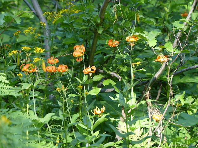
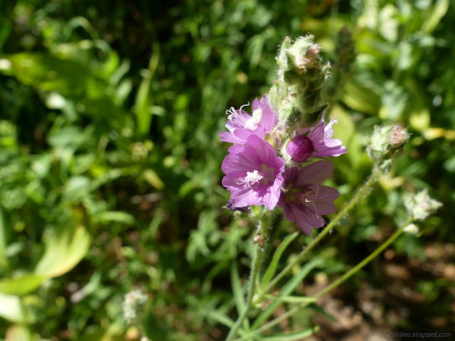
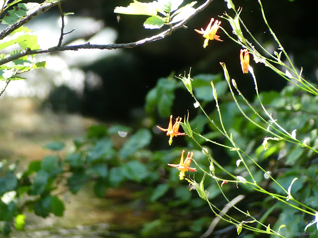
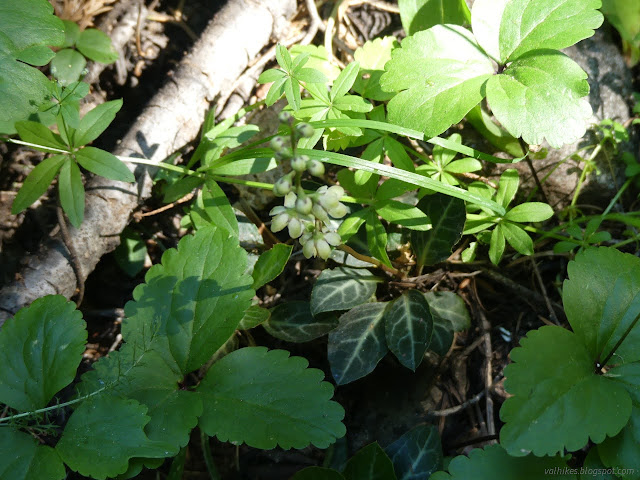
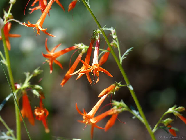
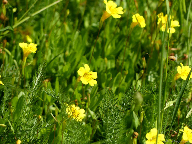
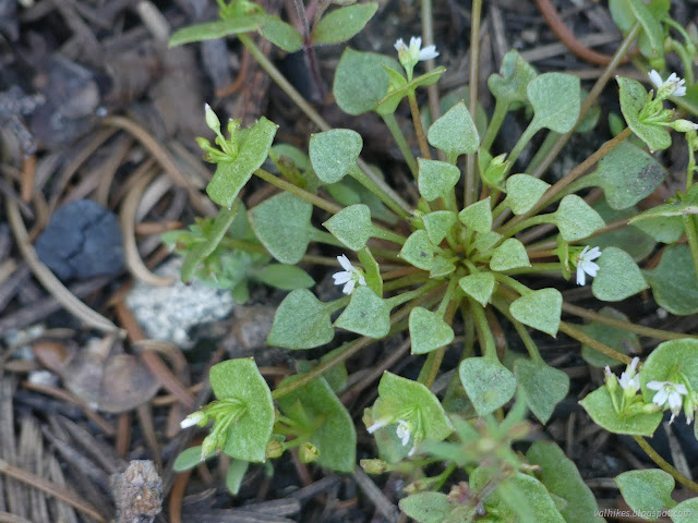
There was some work to do along the way. Two logs needed cut out of one spot. That didn't give everyone something to do although the second log ended up taking a lot longer than expected. I had time to admire the flowers.
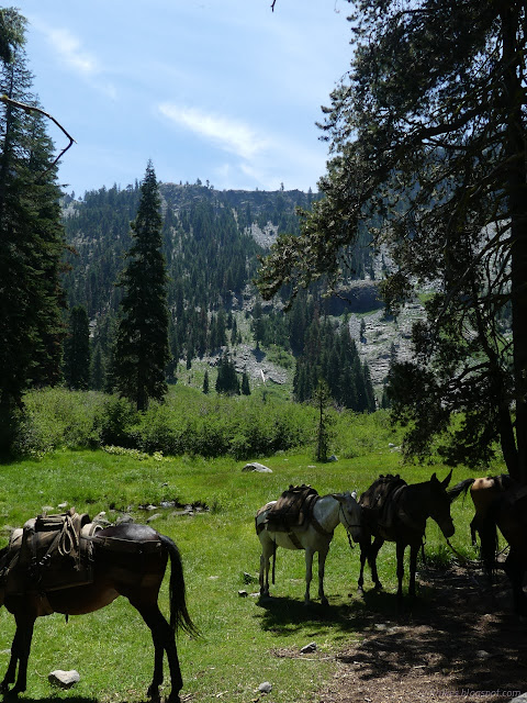
Honestly, the trail could have used a little lopping here and there. Most the tools were on the mules along with the food for the week.
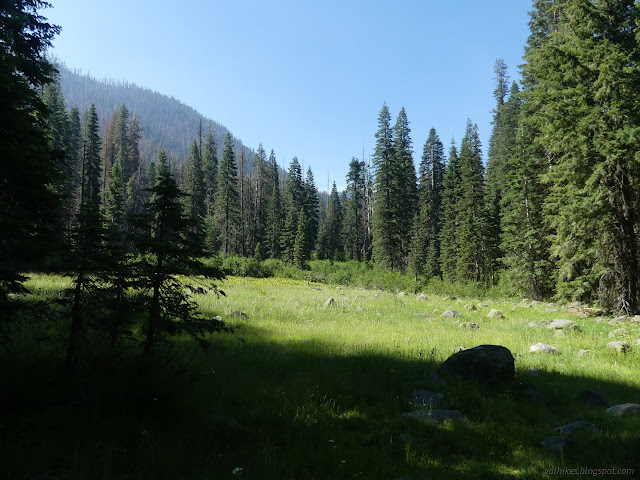
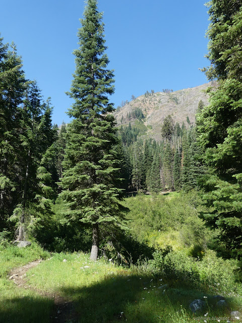
The creek wasn't apparent at first. The trail narrows down about the time of the first crossing. From there, it winds upward over plenty of good rock work. It's a well developed and well used trail.
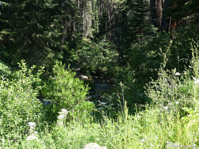
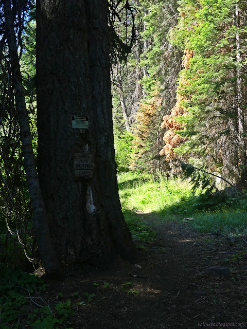
It's about a mile before entering the Trinity Alps Wilderness proper.
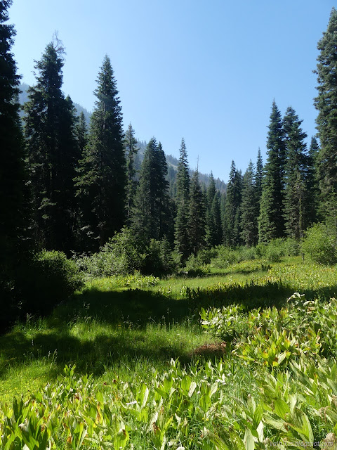
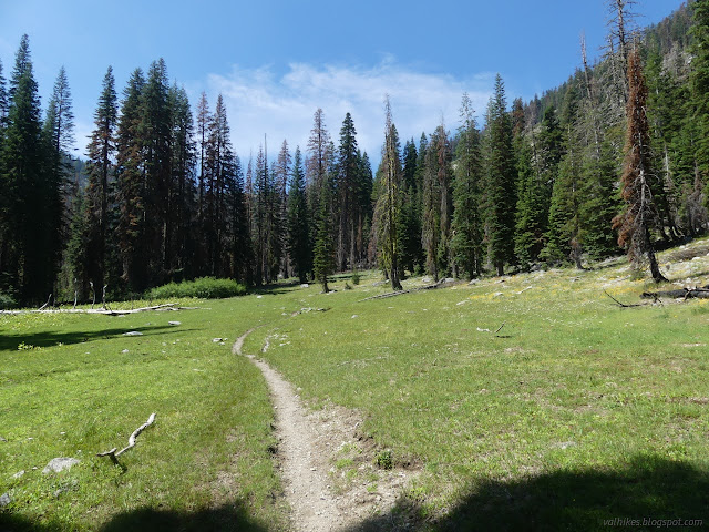
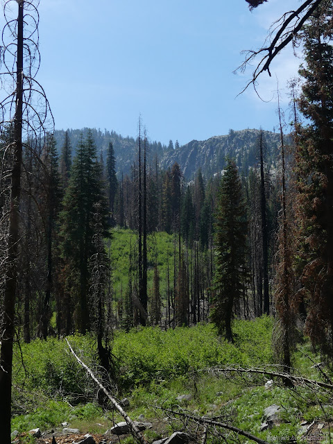
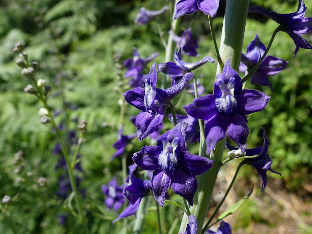
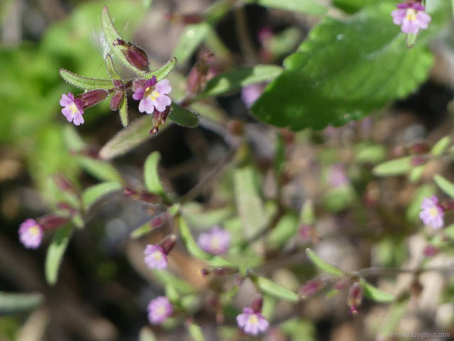
Finding the junction, we turned toward the lake. I'd been passed by the stock, but most got there before them. Camp was at the far end of the lake as this was considered to be the nicer area.

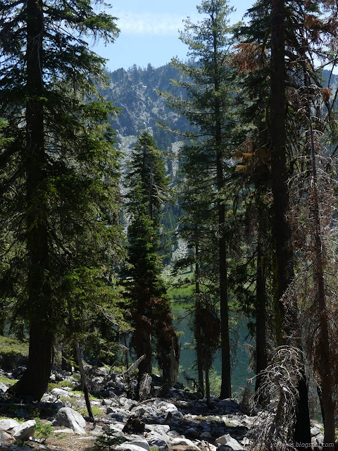
So camp was set up and sites selected around the place and we had plenty of time to check out Long Gulch Lake. It's a nice little lake.

same trip, next day ⇒
*even more photos in the album*
©2023 Valerie Norton
Written 22 Aug 2023
Liked this? Interesting? Click the three bars at the top left for the menu to read more or subscribe!


Comments