Boulder Loop: Pacific Crest Trail
Shasta-Trinity National Forest
Klamath National Forest
(purple line, map link)
DAY 1 | DAY 2 | DAY 3 | DAY 4 | DAY 5 | DAY 6
Morning and I had to start finding the trail again. This turned out to be harder than expected. I couldn't see the trail I'd been on the evening before. I had to relearn what little clues I was using to find it. All the questionable trail was getting to me even if most of it had worked out.

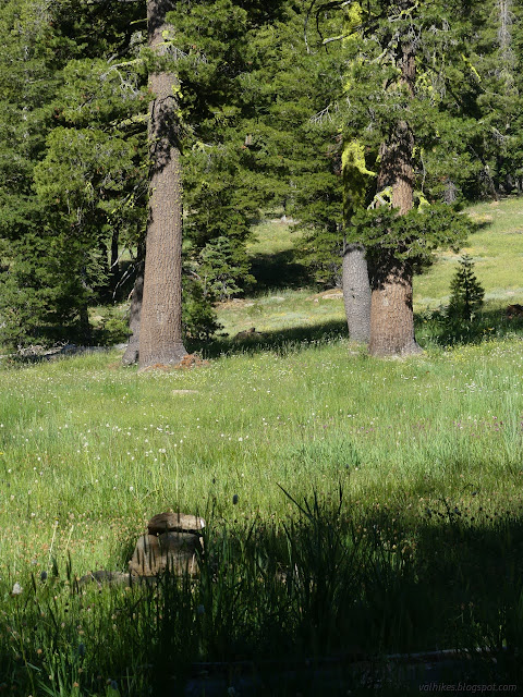
But I knew some specific spots the trail passes and it should get easier to find once out of the meadow and, well, it was. Mostly.
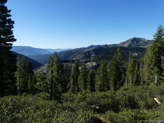
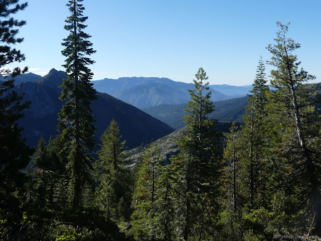
I found a few obviously used camp sites as I made my way up the hill. Each had easy water access while all but one wasn't actually on the water. None had quite so nice a view as where I stayed.

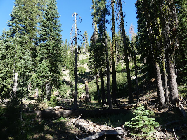
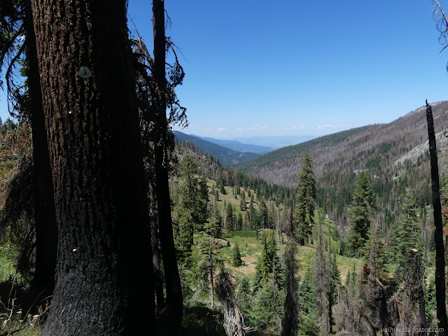
I started finding burned spots. Still, most of the forest was still nice, but I knew I was ultimately working toward that devastated saddle where I had met the PCT before.
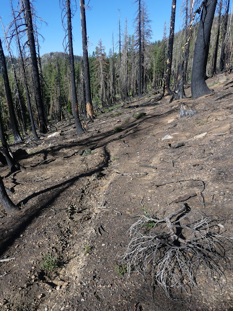
I expected to walk right past the junction with Telephone Lake Trail without noticing it, but there is a sign for it. Looking the way it points, there is a large cairn close by directing the gaze off to some big trees, all of them decorated with blazes. It beckoned enticingly. I almost started toward it before remembering I wasn't going that way. It took a while to find where I was going, but there were some more blazes and little cairns marking it through the meadow.
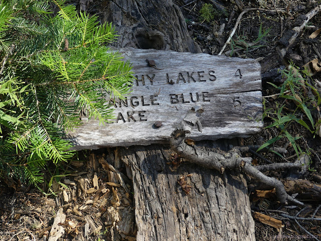
There's signs to mark the end of Tangle Blue Trail at Eagle Creek Trail. One of them implied it would have been only a mile or so to have gone out to Tangle Blue Lake.


I climbed the steep trail to the burned Eagle Divide once more.

Back on the PCT, I had it easy by many measures. No thought needed to find it. Little thought needed for the avoidance of obstacles. Easy grades and climbs and drops minimized. I zoomed along.
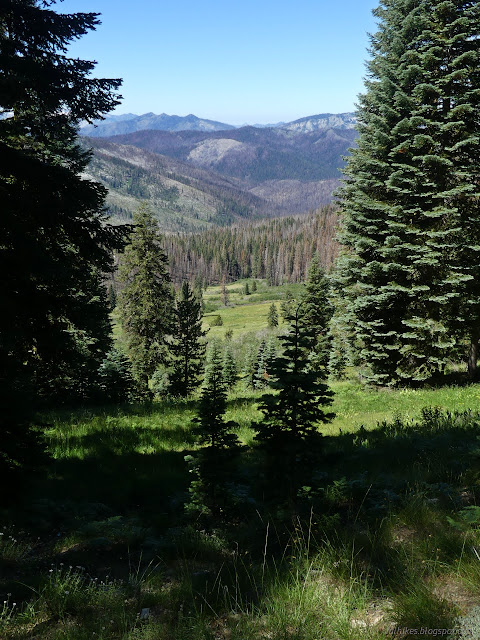

I realized that I might have continued along the lesser used trails, heading past the spot marked Wolford Cabin. The miles were passing so quickly the extra wouldn't have been too much. It's just as well I didn't wander that way.
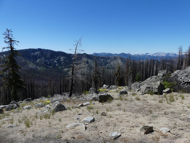
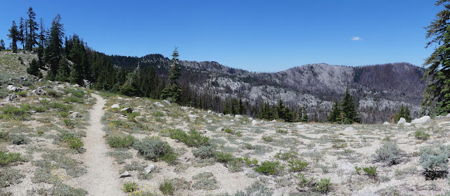
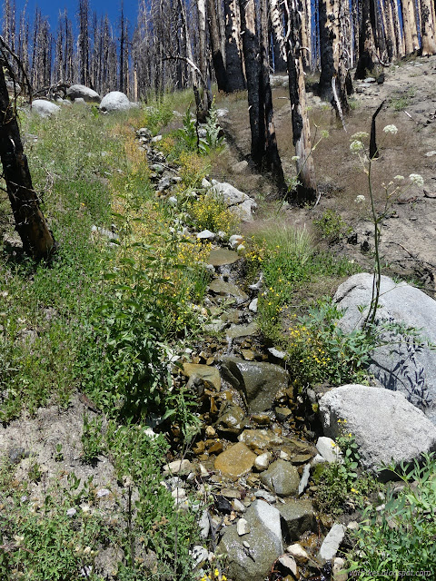
I'd been close to needing water when I crossed the stream on the way up to the PCT, but decided to get it when I crossed it above. I was sure there'd be some. It wasn't where I expected, but there was some.
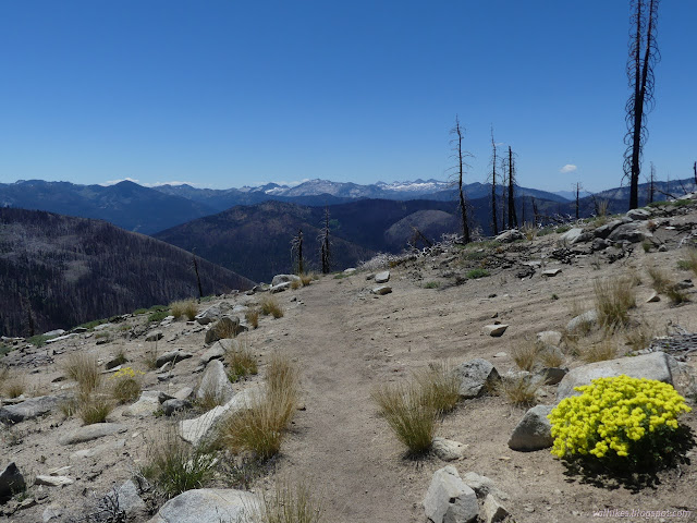
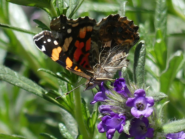
There was obvious trail coming up at Fox Creek Ridge Trail, but not much visible of the Wolford Trail heading down the other side.
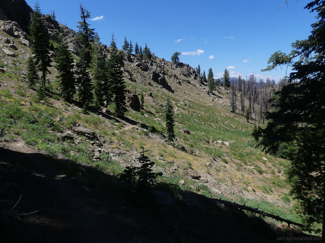
The junction is marked at the top of the East Fork Saloon Creek Trail and a little more trail is visible there than was at the bottom. In fact, one can see it's an old road, as is the PCT for a bit.
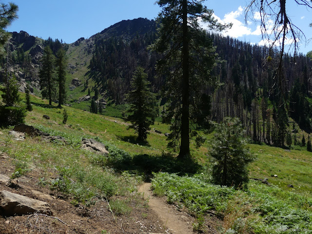
There's two trails that head north down to near the South Fork, but only South Fork Ridge Trail is visible. It's the old road that goes down toward Saloon Creek.
It was still afternoon, so I did not stop at the camp at South Fork. Instead, I finished and drove down to the spur roads next to South Fork that are devoted to dispersed camping. I got out the solar shower, but it was still cold after only an hour in the sun. Still, I thought I'd go into town the next day, so it was needed.
*even more photos in the album*
©2023 Valerie Norton
Written 3 Sep 2023
Liked this? Interesting? Click the three bars at the top left for the menu to read more or subscribe!


Comments