Fetid Adderstongue on the South Fork Elk River
Headwaters Forest Reserve
(map link)
I was experimenting with the Seek app from iNaturalist (I'll say something about it at the end) and remembered to check on the fetid adderstongue. I found a couple leaves approximately where I remembered, then a couple seed pods getting a start, then a burst of flowers! Well, three. Not great, but not bad. A second plant had one more.
Blooming fetid adderstongue was meant to be my trigger to go looking for them above the Elk River last year. I spotted them near the Eel River mostly in seed and jumped for it worried it was getting late for their season already. I see so many more seed pods developing than flowers. There weren't a lot then, at least not that I found.
I decided to try it again, but didn't expect much. According to the plant phenology reported on iNaturalist observations, February is by far the biggest month to find blooming, falling off sharply by March.
I was actually the thought of maybe seeing salmon run that really motivated me. There's signs all along saying they are running (no matter what season) and don't let your dog in the water to avoid disturbing them. With the water high, they might actually be doing it. Maybe.
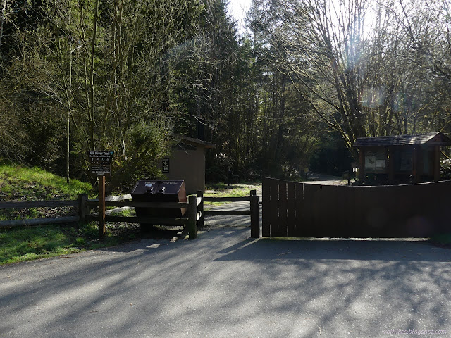
Dogs are required to be leashed on the north side of the river and not allowed at all on the south side. They've invested in a bunch of signage to even say why. The first mile is paved. The South Side Trail was closed, of course, with the river water high and the bridges removed, so there was no choice but to stay on the pavement. The morning air was felt thick with wet and cold. I pulled on some fingerless mittens and kept them until the climb 3 miles later.


When I got a look at the river, I knew salmon wasn't a strong possibility. It is running muddy as well as high. Salmon don't like that. Even if they are in there somewhere, I wouldn't be able to see them. The water has been high for so long, I expected the dirt to be cleared out by now. Other creeks were running clear. Not this one.


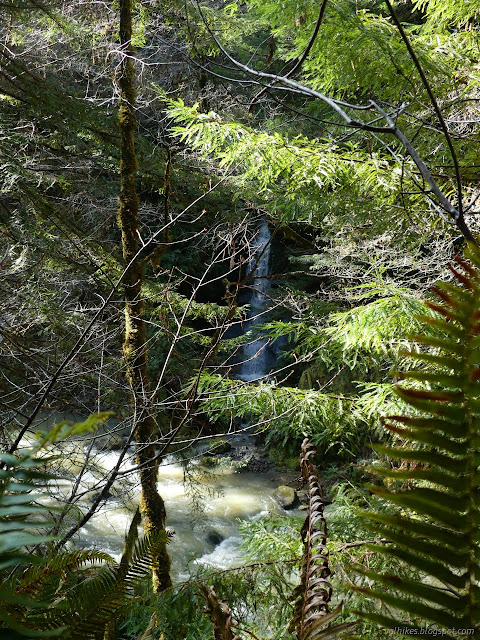
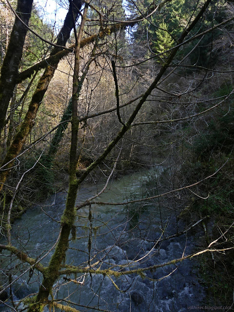
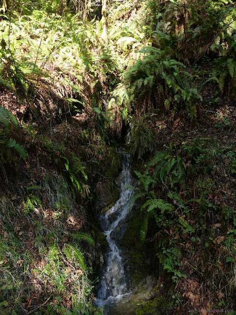
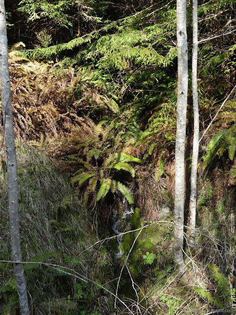
The little waterfalls were an earful and I couldn't help but stop for them. They had better sunshine on the way down, so I'll mostly leave the photographs of them to the end. After the paving ends, there are two slides that force the trail to diverge from old logging road. Water was trying to tear up the first. Once back to road, there's many little streams that pose various jumping challenges if not wearing waterproof footwear.


The roar of the river was a delight and the roar of the little falls beside the trail another bit of glee, but when a roar from across the river made itself known, I was reminded that there is a real waterfall along this stretch. I made a way carefully through the undergrowth, disturbing the debris over the mud as little as possible, to make a way down to try to see the waterfall. It's hard and there's no good view once the work is put in and even harder on the way out.
The second slide area was holding up well with all the gravel that has been brought in. There is one spot that seemed to be welling up mud that was incredibly soft to step on. It provided a startling moment on an otherwise tame path. So much better than the slime fest it once was.


Crossing over the river is another reminder that there will likely be no salmon to see. Then it is time to climb! I was a little worried what the state the trail might be. I'd already climbed over two trees. Irrational feelings that a couple trees that had blocked the trail for a year or more near the bottom of the climb would have somehow reconstituted themselves kept coming over me. Besides some small branches, the trail was clear. I spotted the first of the fetid adderstongue on that first stretch of climb where they populate the side of the old road cut.

Poking around the leaves, there were flowers hiding in there. It is surprising how easily such striking flowers can hide.

Observations posted for along the Beith Creek Loop suggest there's a lot more along there than I've noticed, so I was determined to do a better job of looking for the plants this time. I scanned the sides of the trail, but it was a while before I spotted any more.
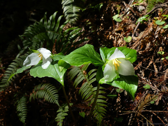

After a shorter break, there were even more. In fact, they kept coming. Big patches lined the sides of the trail with breaks of a few steps between new patches. Mixed in were quite a few flowers, sometimes in big collections, usually in ones and twos. There were a few seed pods and a few buds too.
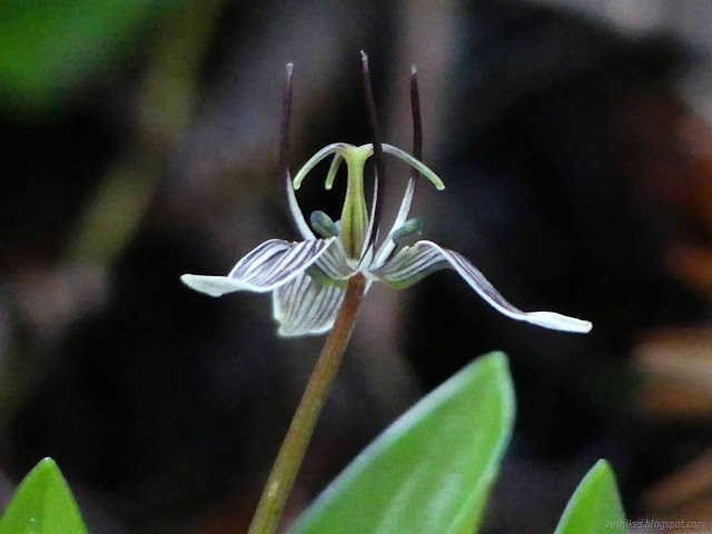

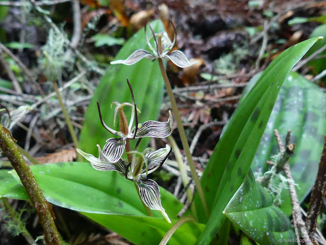


The flowers mostly vanished from the side of the trail. I had to be content with how perfect the light of the day was, instead.


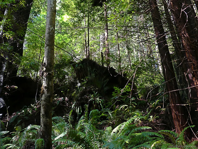
Which way for the little loop at the end? I felt like going up a little more, so right and up I went. Most of it is under old growth.

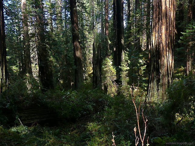
There's quite a lot of fire scar on these trees that must reach at least 100 feet high. They seem to have all weathered it, but there are a couple broken off stumps.


Then the stumps start again and the trail finishes its loop. Perhaps to get the most out of five miles of trail for a half mile only mostly under old growth, one should turn around and do the loop in the opposite direction. I headed down.




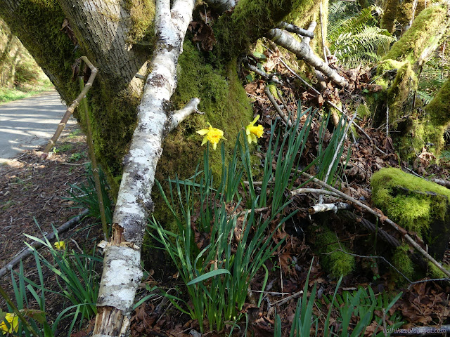
An excellent day for a hike and for observing fetid alderstongues. According to iNaturalist, there's only two species in this genus. These are the California ones and it is just starting to be the season for the Oregon ones, which has sightings centering on Eugene. Perhaps it's time for a trip?
A little about the Seek app by iNaturalist: The main app by iNaturalist is focused on citizen science, specifically gathering sightings of flora and fauna. It can be used as a plant and animal identification app, but requires an internet connection in order to do the identification. The vision model it uses is large and not suitable to storing on a little handheld computer. The focus of Seek is actually education and aimed at children. It has been built to be less dependent on the internet. It has a simpler built in vision model removing the need to be online to identify plants. It does need to be online to download a base set of information for an area.
I played with it first on the Beith Creek loop, where it could be used online, and on this hike, where there is no signal. It got its basic information for the area in Arcata, but there's good overlap for the two areas. You point the camera at something and it sorts through to whatever level of identification is is certain of. Sometimes it suggests moving around to different angles to get a better identification, but more often than not would back up when I did that.
It was pretty quick with flowers and some ferns, but I had trouble getting it to even realize I was pointing it at something for redwoods. Take a picture to make an observation, but that finishes the data collection and identification and coordinate collection, which does not make for smooth operation if you've quickly gotten to what you want for a picture but not gotten very far in the identification. I can't imagine this system working well for squirrels at all.
Making an observation is a local activity, but you do have a chance to send it to iNaturalist at that time. (If offline, it is queued to send. As far as I can tell, you cannot go back and decide to upload an observation later.) It will only be the single photograph, there's no way to add a second. In fact, you only get one photograph per species. If you make a second observation of the same thing, it will ask which photograph you want to keep.
After something has been identified, information on it will pop up automatically so you can learn about what you have found. I checked off about 8 flowers and 3 ferns, but no conifers. It continued to identify when offline. When I got back, it had used an extraordinary amount of battery. It could easily drain a battery over a few hours.
It works, mostly, but it's finicky. I got it to identify the alders to species for a brief second, but didn't get the photo taken in that moment, so didn't get to add "red alder" to my checklist. If I got an identification quickly, but didn't wait very long before taking the picture, it would take a very imprecise coordinate. Since it was tracking in the background, the coordinates shouldn't have been as bad as it estimated, but it would have been more comfortable with more averaging. That's really only a worry if you want to upload the observation. Not having an opportunity to add a second photo to an observation to upload was annoying.
*Elk River album*
©2023 Valerie Norton
Written 22 Mar 2023
Liked this? Interesting? Click the three bars at the top left for the menu to read more or subscribe!


Comments