Mount Lassic Lookout and Goat Hill
Six Rivers National Forest
(map link)
I stopped at the junction of Coffeepot (2S08) and Senteney Rock (1S07) to explore the area of Goat Hill. The motivation was largely to sort out if I've mapped the area properly, but had I paid a little more attention, I might have found another reason to do exactly this hike. As it was, I first wandered over to the far side of the intersection to where Coffee Pot has climbed from the Ruth-Zenia Road to see if there really is pavement. Down under all the pine duff there really is some smooth and hard pavement. Checked! Then I turned to the South Goat Hill Road (2S72), my actual aim ever so slightly north of the large intersection of good roads. This one is high clearance, but legal to drive. It was obvious no one has tried in a while.
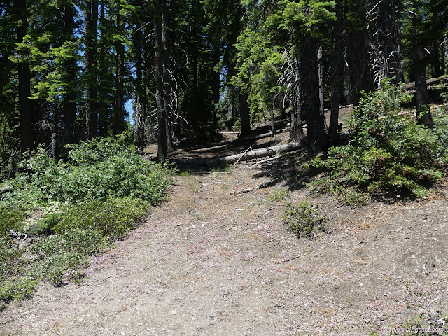
Except for stepping over a couple tree trunks, hiking up this road was easy at first. It obviously got more use than 2S08C when it was in use. Just like before, this is the edge of the 2015 Lassics Fire and once you get far enough from the main road, there's a lot of standing dead and burned trunks and they've started coming down.


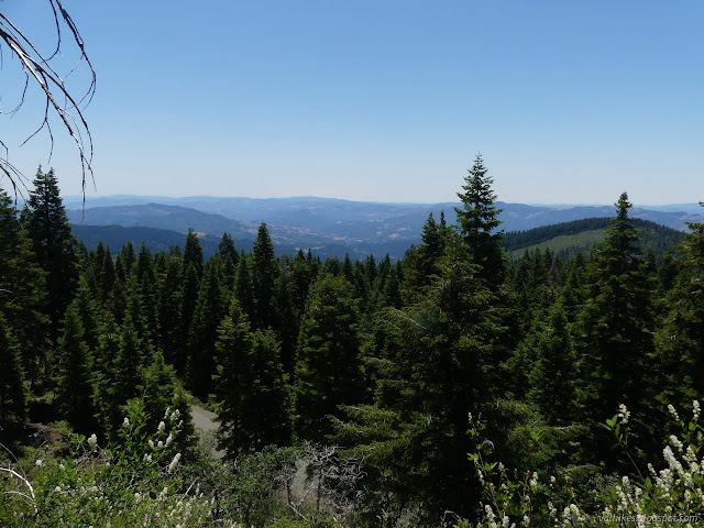
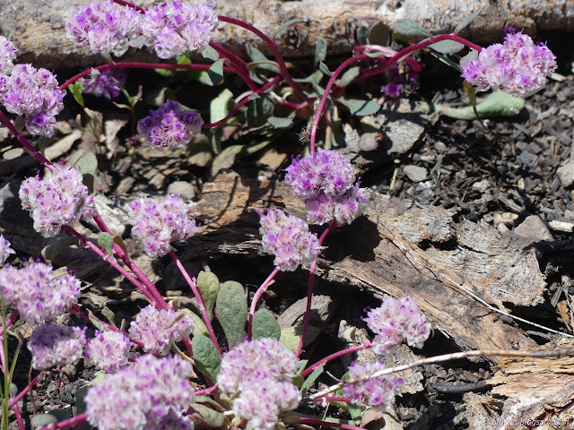
For much of the first half, the character was certainly logs, not too big, to hop over. Ceanothus, not to thick, to walk around. Animal trails follow along the road, but not to the same extent as I saw before. While the people may have liked this road better when they traveled it, the animals like 2S08C.

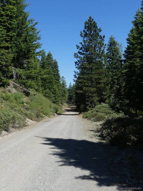
Then there was a lovely section of simple clear gravel road. It was delightful.
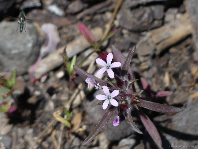
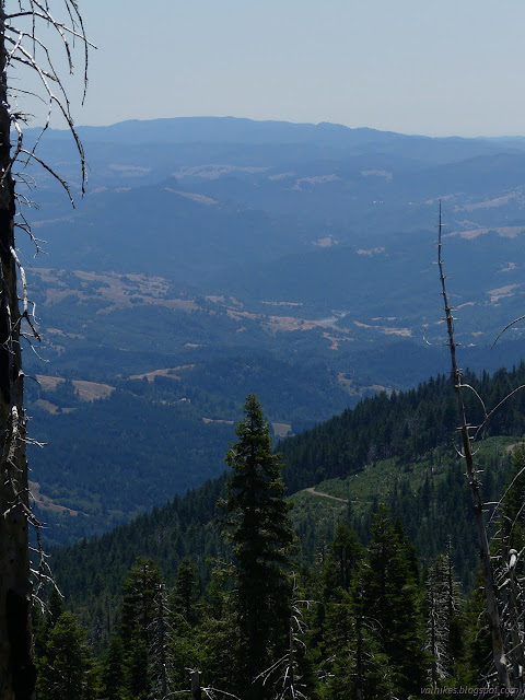
That didn't last long and when the clear area stopped, the solid ceanothus started. Desperate animal trails up the side away from the road bed were sometimes the only way forward. Bigger tree trunks were thrown into the mess. There was a quarter mile of straight up wading through pointy brush up to my thighs with relief only from those logs providing a higher place to stand. Then it got better and after a couple more trees to jump, the road arrived at a sort of top.
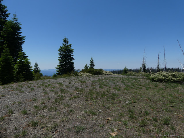
To think, this could be your dispersed camp for up to 14 days for the low, low price of clearing the road up to it! A masticator could be useful. I glanced at Peakbagger to see what I might be near. It said I was practically on top of the Mount Lassic Lookout. I looked around, only finding a scaffold that looked like it might have held a weather station once. Also, way over there is Mount Lassic.
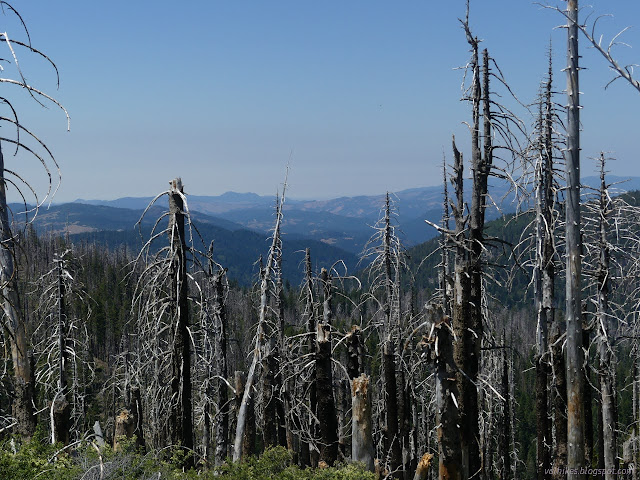

So that's cool. I'm always up for visiting a lookout or even just its location. But I wasn't out of energy and still had things to explore. There's a second road, or trail, that gets here. I'd seen it at the junction, so knew it was road. It is no longer legal for motor vehicles, but the Mount Lassic Wilderness boundary appears to be along its edge, or the edge of a guess at where it is. I wanted to explore that at least as far as the spring that was likely the water source for the lookouts.

So I turned on the old road and probably quickly found my way onto some old bulldozer track instead. There seemed to be a couple of options. Finding myself actually going to the peak, I decided I would bag the actual top of Goat Hill first. Still feeling energetic, but there are a lot of trees down.

The peak is very near the south end of a long bit of mountain all above the last contour line on the map. Is it actually the peak? A marker was actually a little north of where I was, so I wandered that way. Downward. The marker is really in a saddle in the middle. I kept on going up the other side and tagged the north peak.
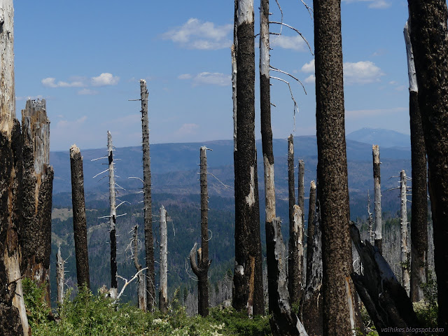
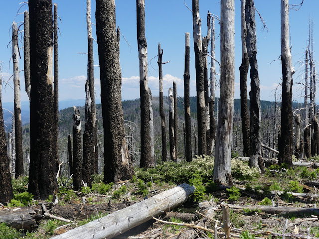
The views managed to be a little better on the northern peak, but the southern one is 10 feet higher according to my GPS. It uses barometric pressure for elevation information which should make it more reliable for relative heights over a short period of time. I headed down the hill to join the trail on the old road.

I looked a short way the way I wouldn't be going. This road seemed much the same as the other. Trees are coming down, ceanothus growing up, and the amount of each varies as it goes. This road was not developed so much as the other, which must have been the main route to the lookout. Then I took my way back toward the lookout site past the spring.
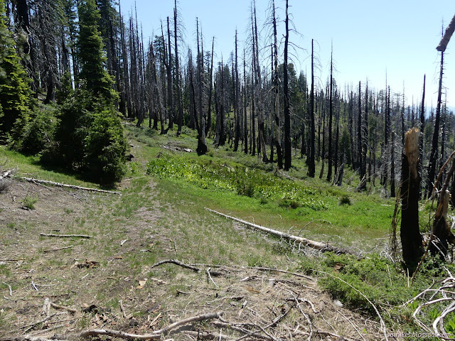
Cows occupied the shade of the trees above the spring, but they ran off when they noticed me. The cows in all these areas were particularly skittish around people.


So the spring is real. Then I turned to head down, not that I wanted to face the road again. That quarter mile of ceanothus struggle was bad, but the rest wasn't much to look forward to either.
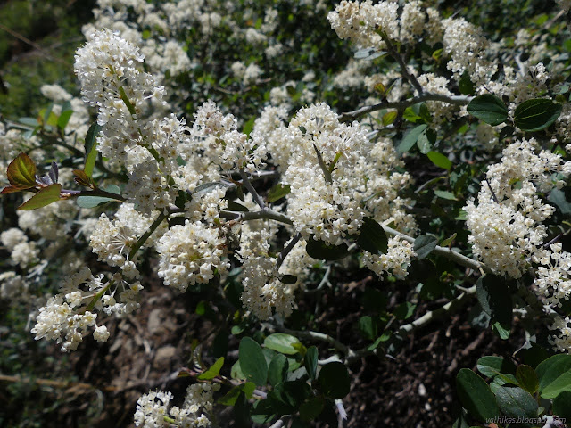
The map shows an area clear of vegetation going down the hill toward the good road below. Sometimes that really just means clear of trees. I decided to try that route instead. I ended up dropping down just inside the trees and not among yet more ceanothus. There were several game trails to pick from for a route. I decided sticking near to a stream would improve the odds that there wasn't a cliff between me and the road when I got there.
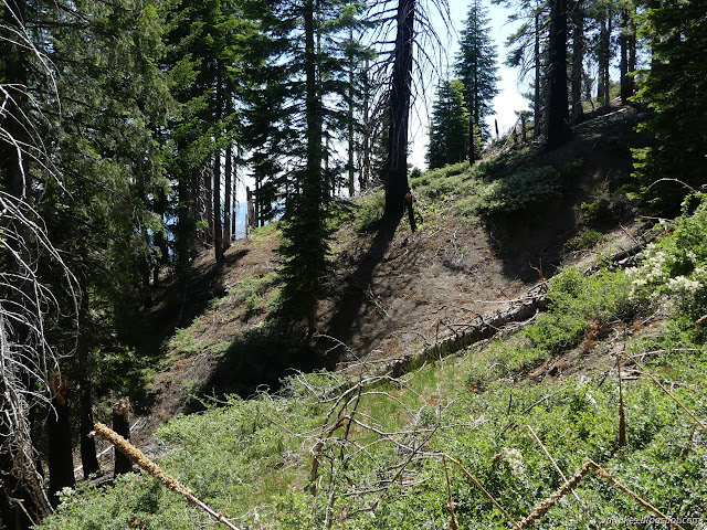

The game trail is really well used just before arriving at the road below. There was indeed no cliff or even steep slope to navigate near the stream. Then I just had good road to follow back to the car.
Even though these two hikes were both quite short, I was done for the day after this one.
*even more photos in the album*
©2023 Valerie Norton
Written 20 Jul 2023
Liked this? Interesting? Click the three bars at the top left for the menu to read more or subscribe!


Comments