Clover Gulch
Six Rivers National Forest
(map link)
Clover Gulch hadn't been on my list to do or even possibilities, but the entire trail is about 3 miles, so it wasn't going to turn into a much longer hike and I decided to give it a chance. Besides, I needed water and it is a good place to collect some. Parking is hard to find at the trailhead, and I ended up at the junction of 27N13 (Swim Ridge) and 27N33 (Cobb Ridge). The trail itself starts off as a Jeep road which happened to be marked by long yellow ribbons at the time. I thought "so be it" because you can't always go holding these things against a trail. I started out heading over to the huge culvert under Swim Ridge Road for a look at the stream of water.

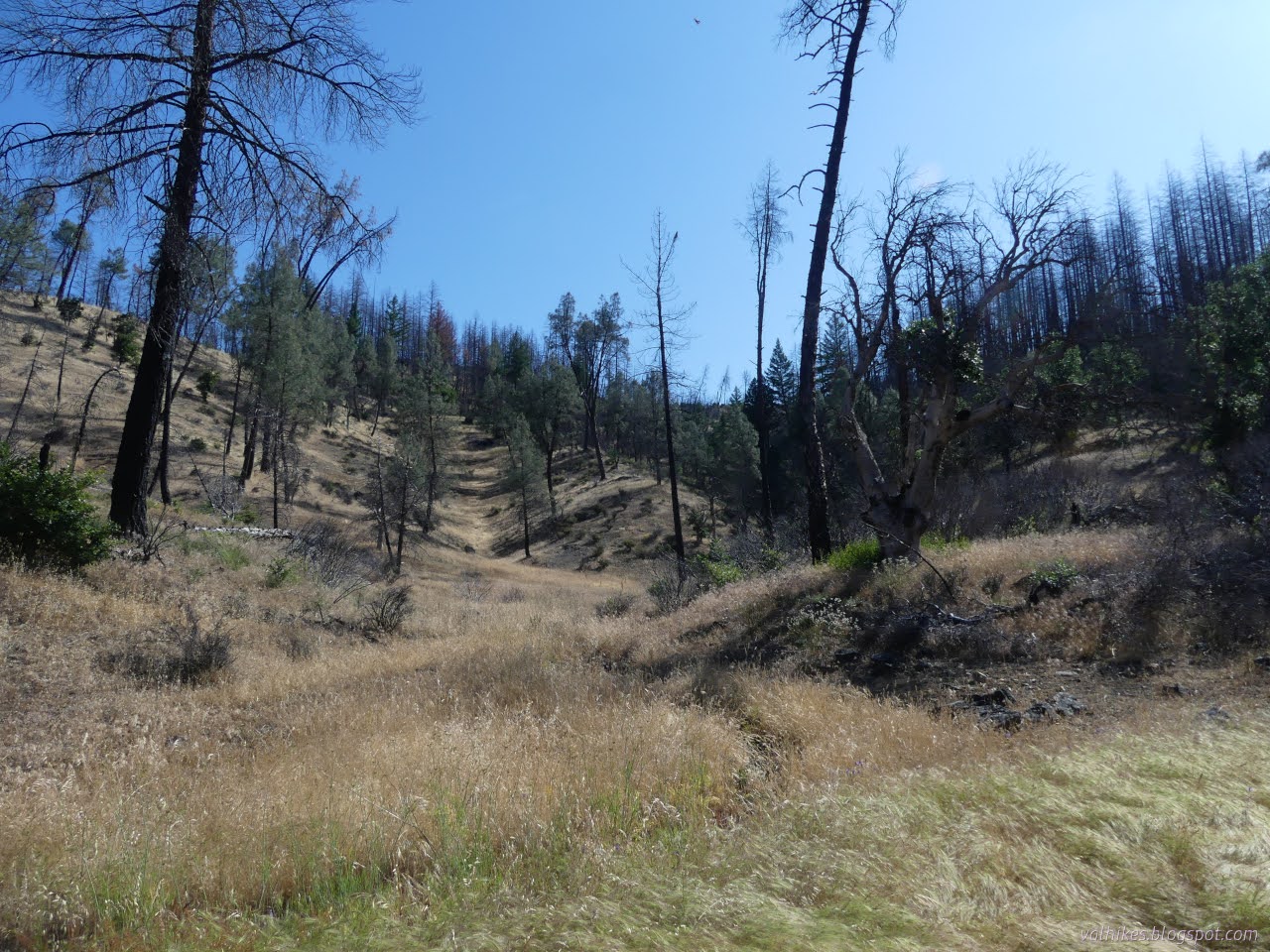
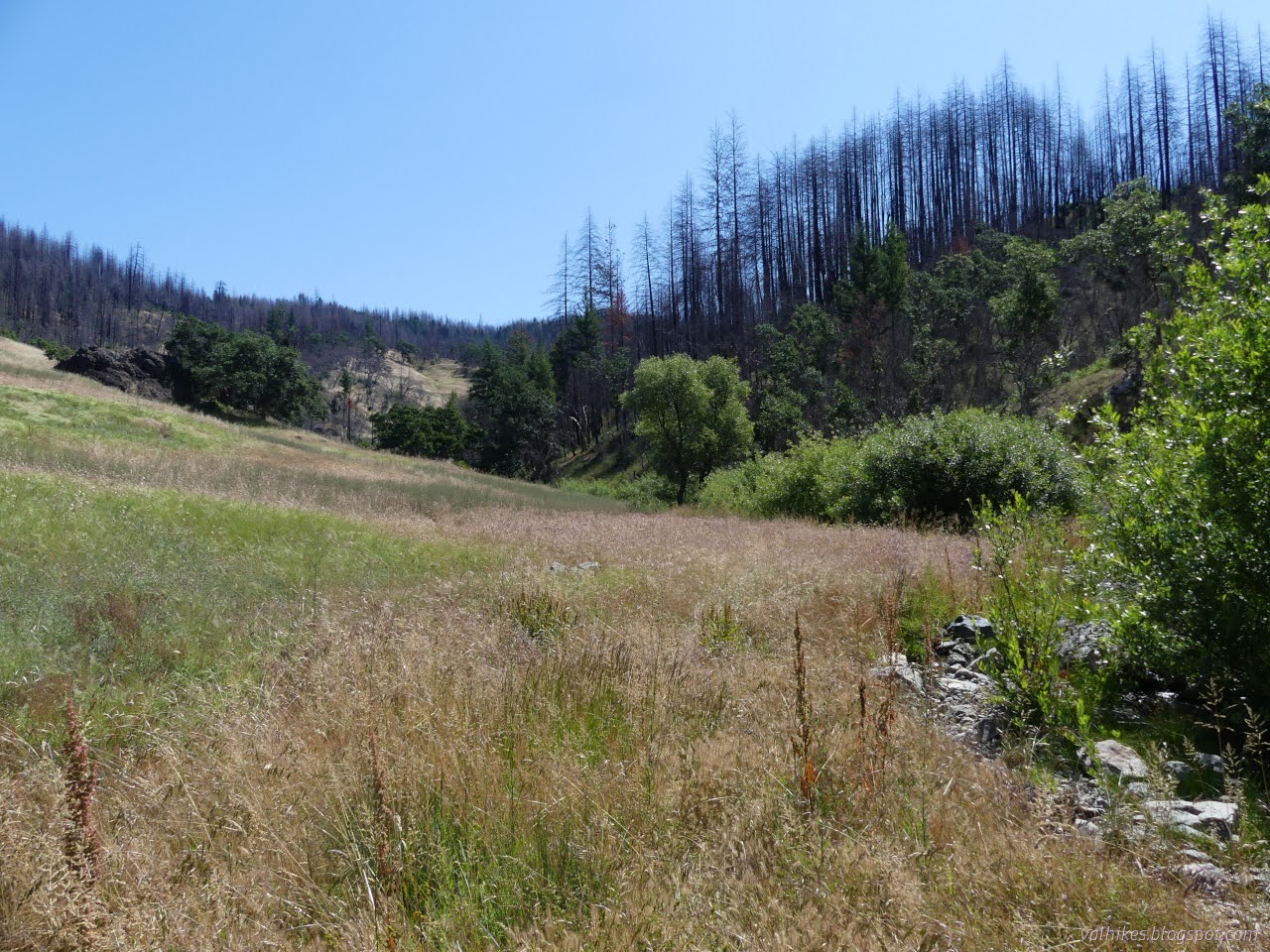
This is still part of the Hopkins Fire 2020, a piece of the August Complex, so there are entirely too many burned trees. I headed up to the trail, or rather road. It was not well used and had raspberries growing up in the middle to a few feet high. It drops down into a meadow where there are no fording possibilities, so that might be why. There are plenty of rock hopping opportunities, so I found it easy to continue.


Route finding was difficult. I was crossing over the stream more than would be expected of a constructed trail. The map actually claimed the trail had stayed up high in the forest without that first crossing. I went up to try to find it, but there was nothing. After a couple interactions with more raspberry, I relented and returned to the side of the pretty little stream. The official line would cross over eventually anyway.

The meadows were not without their dangers. Those invasive browning grasses were full of seeds and soon so were my shoes and socks. I put on my gaiters and they helped. I was wearing my nice, airy Mesa Trail shoes and they were proving how airy they were by giving those seeds easy access to my toes.
Once the official line crossed over, I started seeing some trail sign. Cairns of large rocks built up about grass height, sometimes collapsing into the dirt. Once a splash of dark yellow paint on the pealing bark of an oak regrowing from its roots. Smashed over grass because the trail had actually been used in the last week. It really does look like people use it. Unfortunately, there are also some cows and they compete well with their trails.


At a fork in the stream, the trail leaves it and starts to climb to Cobb Ridge Road above. I stopped to get some water for the undoubtedly hot and dry climb.

Trail very obviously gets less use once it leaves the creek. I followed the faint suggestion of trail then consulted the map to find it agreeing with me. It really helps that the line on the Forest Service topo seems to be generally accurate. Big old cairns marked a switchback that wasn't captured on the map and above that, things seemed to take a rather steep turn as there was the suggestion of another switchback, but not enough of it left to follow.
After a little bit, it flattened out. There was a long bit of rolling and traveling and, yes, I was still on trail. It vanished crossing a meadow with a cairn marking the center but none at the ends. It turns up again at another meadow and got a bit fainter.

I got a bit more frustrated with trail, and asked if I really wanted to climb all the way to the top. Do I? There are some nice views if you look past the burn. I spotted a spring with a spring box and everything below. Perhaps that explains the trail getting even thinner. There is some faint traffic visible that way. I gave up the trail and decided to check it out. It is busy getting choked with invasive Himalayan blackberries, unfortunately. They have a much more vicious thorn than the whitebark raspberries that dominate the area.


After poking around the spring, I headed down, thus reinforcing that people only get to the spring and no further. But I did get past the end of creek side travel!


The way down seemed a little harder to find than going up, but I mostly managed to find the same trail. Once down to the stream, I stuck to some trail I knew was official (based on cairns and map line) and let the marks on the ground lead me other ways where I wasn't sure.


For one section, I tried just going high where the trail supposedly is. I didn't find any there, but I did find some more nice flowers.


Further along, I followed the trail sign across the stream and up onto the other side. Here, I actually did find trail sign. It stayed up higher and I couldn't see the water much. It got harder to find across a seasonal tributary already dry, but then I found actual cut bushes from trail work. Unfortunately, after that I found needed trail work. Staying on trail got harder and harder and eventually I gave it up because it's nicer down by the water anyway and even when it crosses back and forth, the crosses are easy.


I missed the route back up to the road above and almost made it in sight of the big culvert before the I've-not-been-here feeling got to be too much. I doubled back a little and climbed up to meet it. It would have been fine to continue on, because there actually is a perfectly good path up between the culvert and the junction, too. You can miss the road portion entirely and just play in the stream if you like.


It was a good little hike, although frustrating when trying to find trail. The pretty little stream didn't manage to look pretty in any pictures, but it was a delight all the same. After, I headed only a short way back down the road, across the bridge that becomes a high water ford on the Mad River and stopped near the corral where there is a dispersed camping area popular enough to get a "14 day stay limit" sign. The next day, a bear came by, but it took one look at me and figured I was one of those campers that keep their food put away.

*even more photos in the album*
©2023 Valerie Norton
Written 12 Jul 2023
Liked this? Interesting? Click the three bars at the top left for the menu to read more or subscribe!


Comments