Lost Man Creek Trail
Redwood National Park
(map link)
I found that quite a few of the local rhododendrons in the Arcata Community Forest were blooming, even dropping flowers on the ground so you can't miss them, and decided to make a second try at the Lost Man Creek Trail. It may or may not have rhododendrons. I checked the conditions page to find the trail is open. It would still be open the next week, too, but the road would be closed. The trail climbs 10.5 miles to a second trailhead on Bald Hills Road. I wanted the bottom part without so much hiking to get there, so I didn't wait. I arrived to find no mystery "trail closed" sign contradicting the web site like I had before. So far so good with the plan. The trail starts off in an old growth forest, then travels into an area that was logged shortly before the area became a National Park, eventually climbing to a ridge where the other side is still being logged today. The rest of my plan was to get to that ridge with young but protected forest on one side and whatever the active logging interests were doing on the other. Admittedly, they might not have touched their forest since the 1960s either. It could be all very similar. Then I'd most likely turn around near the halfway point to return and finish once more in those old trees at the bottom.

This is one of the few places you can ride your bike in old growth. You may not have your pet or horse along, though. The parking area has one paved handicapped spot with paving extending to the bathroom and first picnic table. The road the trail follows is very wide and smooth with an easy grade for over a mile although not paved. For ADA compliance, it's at least as nice as those nearby that claim that designation. It was already a little after 10AM as I started. The sun was up high enough to get a fair bit of light filtering down through the tall trees. The birds seemed especially enthusiastic at that hour and I managed a first pass at recording the ambient sounds. That is, I found the built in audio recorder and pressed record, then held the device up toward the trees and creek. A large insect buzzed past in the middle.
Then I got started on the trail. There is a basic trail map and warnings about animals on the signs at the start. Shortly after, there is one more sign to commemorate that this spot right here is where they dedicated Redwood National Park as a World Heritage Site.
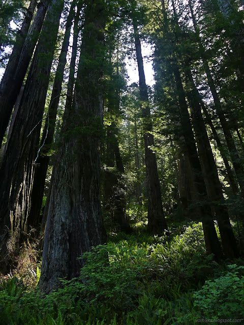


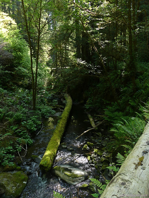

I passed a freshly removed log that had stretched more of the way across the old road that is the trail. Perhaps that was the reason the trail was closed before.

Trail starts to climb, which is the signal that there won't be old growth for much longer. At one point I looked up to find a lot of little trees in front of me and looked to the right getting a sense that the big, old trees were marching off that way. There are islands of big trees a little further up as if someone realized it might be good to leave a few to seed the next generation, but there's a lot of smaller trees. This area was clear cut in the 1960s.

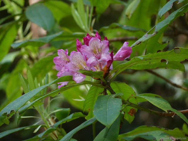
Turns out, there aren't many rhododendrons along this trail. There are some and they start popping up once the trail starts climbing. Many of them were just starting to bloom.

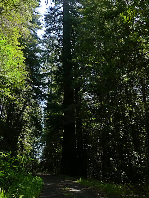
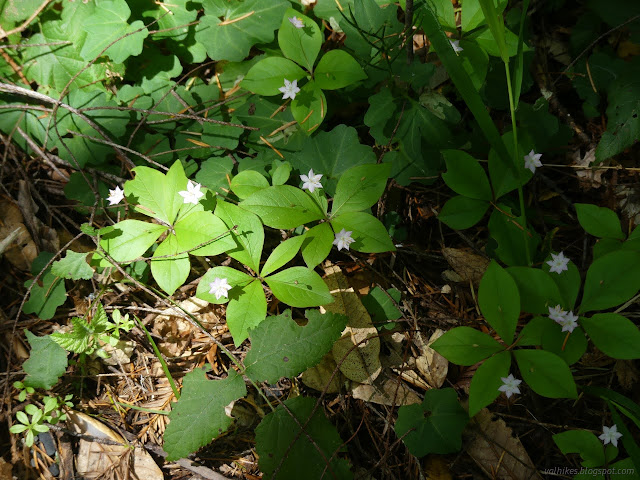
I wandered down a road off to the right that was still well defined, but not very long. It ended in a big meadow where I had some lunch in the sun and easy breezes. There was only a random piece of flat metal as a clue to what was there before.

Bits of rocky ridge become visible through the trees. It's not yet to the main ridge separating national park from logging company land, but there is a little one. There's still a small stream to cross before getting to the top at this point.


Shortly before reaching the main ridge, there is a water tank (for firefighting) and then the road splits. Redwood Hikes describes this as the B Line, which continues on to Cal-Barrel Road except that there's a high speed freeway cutting across it now. I kept right dutifully.


There's a layer of trees to hide the view a little, but once up on the main ridge there is indeed a stark contrast between the park side, clear cut in the 1960s, and the logging side of the ridge. It has been logged since then. In fact, there were pink ribbons around the trees marking the edge of a recent cut.

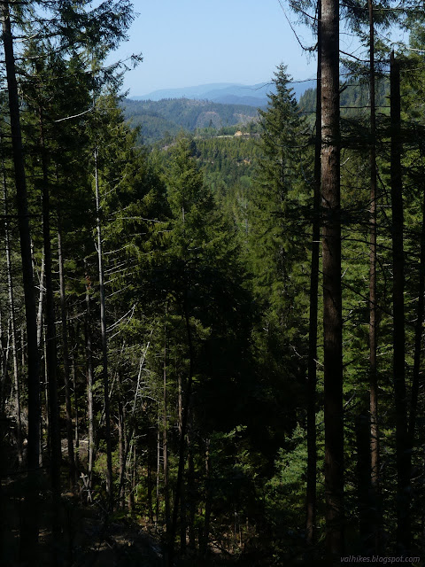
I did find a single lookout point where I could really see out over the logged lands. Even where the history is a fairly recent logging, the difference between protected and logged is stark. I looked out across grey slash piles in the bottom of the valley to wooded ridges with clear cuts carved out below them.

So I made it to my primary goal, to stand between logged but protected and unprotected forest and see the contrast. I continued on, aiming to be about halfway before turning around. I decided that should be at least by 3PM. There's a second road off to the left, this one heading out into the private property. Don't take that one.

The park actually has their own game. They are experimenting with different techniques to bring the forest around to a more natural state like old growth. To that end, they thin out the trees, especially the less desirable Douglas fir.

A bit before 3PM, I found a seat to stop for another snack and a listen to the forest. It wasn't quite so noisy as at the start.

I had gotten just past a "5" marker and there had been a "10" near the start. I probably made it a little past the halfway point. I turned back.
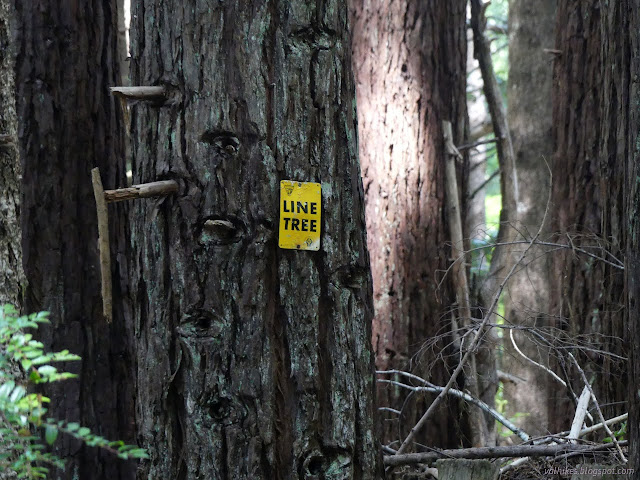

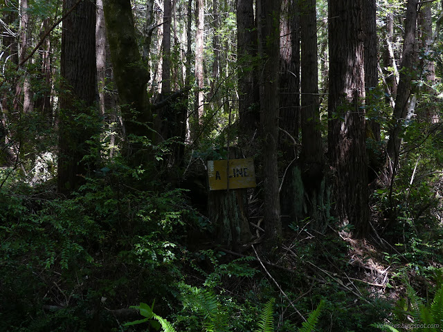
I decided to see what lies down the old B Line. Apparently it was considered for being a trail. It seems to still be getting some minimal work for whatever reason. Wildlife monitoring or neighbor monitoring, I could still see tractor tracks from when it was last cleared of fallen rocks and trees and whatever else the heavy equipment might be needed for. I settled on a 4PM turn around time for this spur, so only walked 15 minutes before turning around. There kept being teases of a view on the park side, so it was hard to turn back.
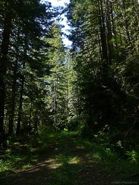

Then I continued on down.

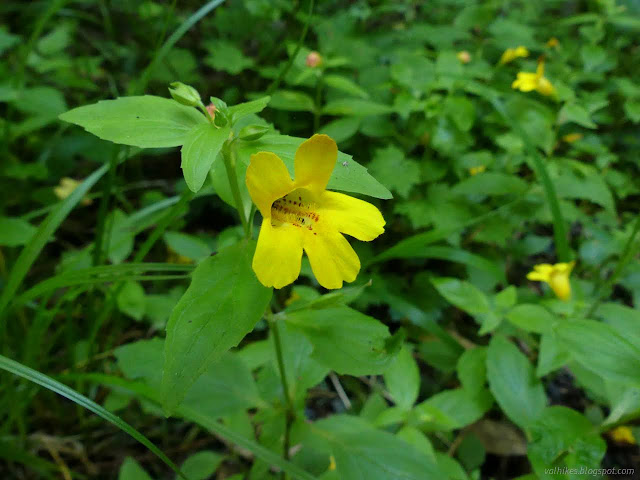


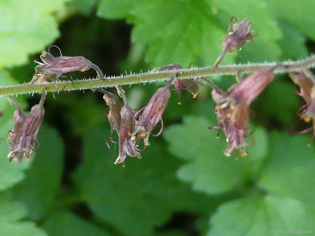
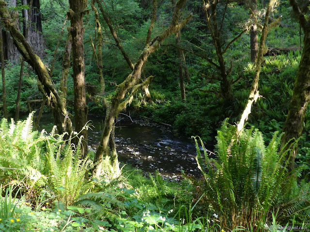

*a couple more in the album*
©2023 Valerie Norton
Written 6 Jun 2023
Liked this? Interesting? Click the three bars at the top left for the menu to read more or subscribe!


Comments