Canyon Creek area trail work
Shasta-Trinity National Forest
(map link)
I got back from the Lost Coast and found out the Bigfoot Trail Alliance would have a three day trail work outing in a few days. (Ah, Facebook, always such a "great" way to find out about things. For better results, sign up for the mailing list at BFTA.) There's also three other trips lasting a week plus coming up in July and August.
Wednesday, 17 May
We were camped out at Ripstein Campground and met up for work at the Trinity Alps's only paved trailhead, about a mile further up the road. Two trails leave from there. Canyon Creek might be the most popular trail in these Alps. I'm going to guess that all the waterfalls marked on the map might be part of the attraction. We were going up Bear Creek, which the Bigfoot Trail follows, aiming at the high crest. At 6400 feet, we were expecting to be stopped by snow first. After waivers signed and safety discussed and tools dispersed, we headed up the trail.
There were a pretty regular selection of trees down across the trail, none too terribly big. Some were small enough to get with the Katanaboys and the rest quickly divided under the work of the cross-cut saws. There was brush work and tread work as well.
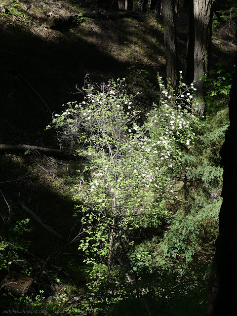

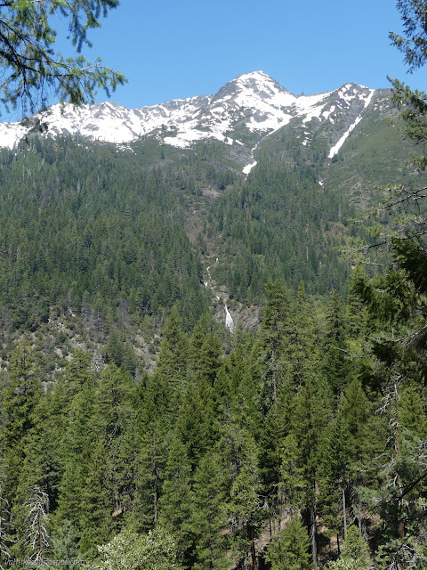

We came to the first bigger crossing of a tributary, which looked worse than it was. All white water, but the water on the trail was more pooling than flowing, so there wasn't much push from it when crossing. Then they found a way to keep their feet dry enough and we were off to more.

We continued on until hitting a big tree. It got cleaned up of two smaller trees, but there wasn't enough day left to attack it in particular. So that was it for the day.

Thursday
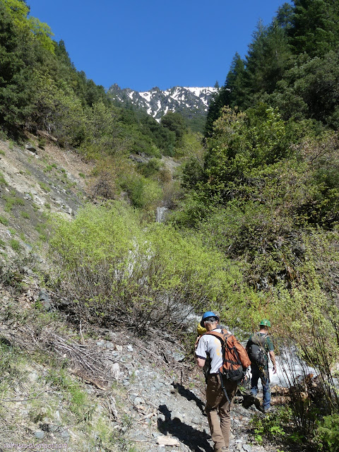
We got an earlier start on Thursday, of course. We climbed the steady upward trail, breezing past all the recently logged trees. We crossed the larger tributary and the one after it and up to that tree we'd left the day before. Then we left it again and continued up further. Along with downed pines and the majority of tread work, we dealt with a couple tangles of big, old oaks and some leaning dead madrones coming at the trail from above.
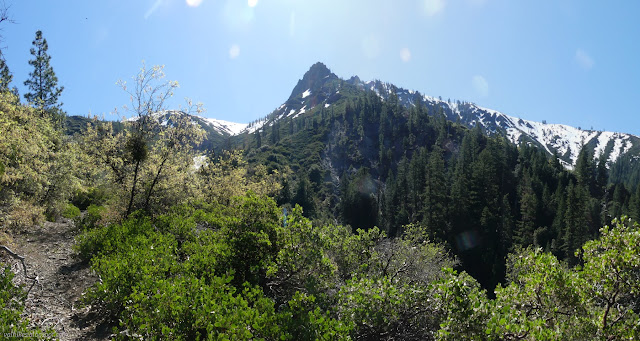

It wasn't snow that turned us back. We arrived at and crossed the small avalanche filled valley with some care. What the trail, which dips deeply into that valley, will look like when the thick snow melts is worrisome to think about. There was a little more brush work before we arrived at the main body of Bear Creek. That was a bit too much.
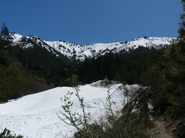


Of course, we still had that one huge tree left. As nearly the last thing to do, we cut into that tree and opened up one more space for the trail.

Friday
So we finished up all the work on Bear Creek and needed to find a new trail. We headed up 35N47Y, a nominally sedan ready compacted road with a few trees across it itself, to East Fork Lake Trail 9W22. I had thought that all the eastern trails in the Trinity Alps were covered on OpenStreetMap, but this one isn't. (Google doesn't even know about the road to it. At least one of these can be fixed.) This trail was immediately better because we get an actual wilderness sign.

We had a couple folks trying to bird by ear and there were a lot more birds along this trail. They said it's the oaks. Oaks support more birds. On the other hand, it's an old mining trail and those miners weren't so thoughtful about the slope. It climbs quite enthusiastically.


We mostly had some tread work and a little brushing. The trail is in pretty good shape as far as we got. It continues up 5 miles to the lake (as advertised by the name) at 6470 feet. There's also a ranch site halfway along and a few more mines. There's even a spur (9W08) to more mines according to the Forest Service topo. That spur and ranch should be below the snow right now, but the north facing lake is probably going to take extra long to thaw out. I stopped at a second mine, which is rather noticeable by the pile of waste rock below the trail.


*a couple more in the album*
©2023 Valerie Norton
Written 31 May 2023
Liked this? Interesting? Click the three bars at the top left for the menu to read more or subscribe!


Comments