Lost Coast: Cooskie Creek Route
King Range National Conservation Area, Arcata BLM
(purple line, map link)
DAY 1 | DAY 2 | DAY 3 | DAY 4 | DAY 5 | DAY 6 | DAY 7
I looked around at how soaked everything was from the dew and decided I had enough water to cook breakfast right there (well, on a rock under the Douglas fir) while waiting for everything to dry out a little. My windbreak trees became morning shade trees, but they were still blocking some strong gusts most excellently, so I wouldn't want to trade them.

So I headed out on the faint old road to join a much better road until getting pointed off to the left at a gate. Trail gets really faint there, but it's all much easier to follow on the second pass than it was on the first.


I'd been told the Cooskie Creek Route was all clear, which seemed like a weird thing to claim. There were a few new trees down in the sections under Douglas firs. There were still the old ones, too.
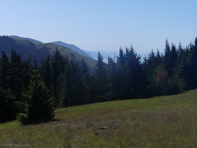
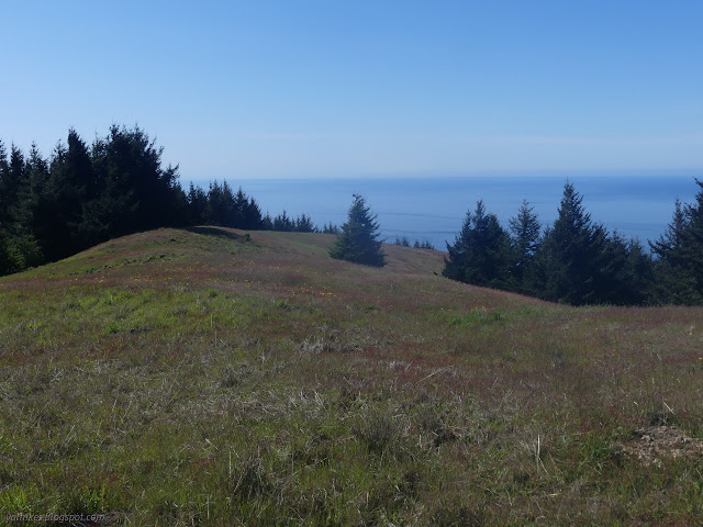


Trail from the gate is a bypass of private property and eventually that bypass ends as it arrives once more on old road. It's a little easier to follow as it winds downward and closer to Cooskie Creek.


Eventually the trail drops into the trees on the way down to Cooskie Creek. It's getting crowded by living trees and blocked by falled dead trees. Some old oaks have made some old jungle gyms to get through, but people in the years past have cut away the worst of the branches to make passing only slightly difficult.


I was expecting a lot of poison oak toward the bottom, but it wasn't so bad. It's certainly there. I spotted where I had come up from the creek on the previous hike here. It was about 40 feet off of a long gully that cuts off the old road. People cross it via about 3 different routes or just drop down it. I decided neither drop nor middle route due to poison oak and settled on the upper route as the easiest climb. So I got to the other side and everything over there felt very familiar too. I did find the road before. I did come up it. Between a narrow, rough section and that gully, I just decided I was on the wrong route, looked around a bit more, then crawled with great difficulty up the hill through a bit of poison oak to find the road a little further on. When I could have just crossed the gully. I felt so stupid now that I've come at it from the other side. At least it's keeping the cows from continuing on. After the gully, I was very much in cow country.


The old route is still a little rough at the bottom. It got blocked by a fallen tree and that was allowed to get overgrown, so there's a number of other ways to the creek. I took the biggest, hopped over a log, and slogged on through. I suspect I could have hopped the rocks, but I didn't feel like it. I drank the last gulp of water, then dropped my pack to get more. I guess I had exactly the right amount from one point of view.
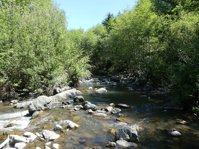


The plants seemed to change with getting into the cattle area. There were a lot more invasives among the grasses.


So I started to climb, trying to follow the signs that mark the trail wondering how it routes around the mass of subsiding land that sits north of Cooskie Creek. This worked until I passed a sign that was marked with nonsense for those coming down and nothing for those going up. There seemed to be signs of different ages and the last couple had two arrows. The first would make sense as "first a little this way, then go that way", but the second was pointing opposite of the trail. And anyway, it didn't have information for those going up. This seemed to be where the trail diverges from the old road that has lost one section to the subsiding land.

I'm afraid that facing all the possibles of cow trudged trail, I turned back and followed the old road to the edge of the slide, looked out to the trails on the far side that I had used to get down into it before, and crossed over to them. I still don't know what the "proper" route through this section is. It might stick closer to the tributary water among the trees. There's a big trail splitting off from the road in the trees nearly to the intersection with the Cooskie Spur Route that looks like a good candidate for the other end. It also looked muddy and cow churned and less than attractive.

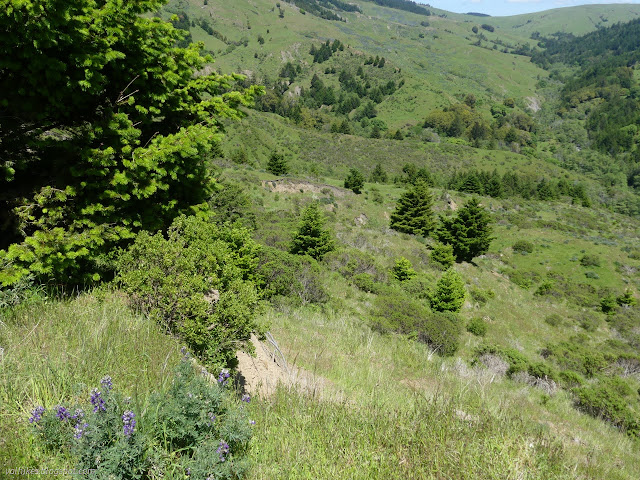
Then I was off to find the junction, which isn't really a findable thing. Maybe the piles of stuff are it? You just wander out into the flat by a corral and dropping to the left is one shelf of an old road and climbing off to the right is another. Aim for the one you want, and go! I headed for the climb.
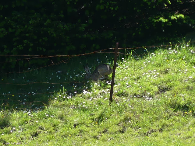
That is a very steep climb. There's obvious spots where the action of flowing water has removed chunks of road and it had to be rerouted. The mileage on the map is split at the high point beside the Gorda 2 benchmark. It indicates 1600 feet in 1.7 miles. It gets quite mellow for the last couple tenths, leaving a bit more than 1000 feet to climb over the first mile.


I decided to tag the high point again. It's very close to the trail anyway and it was time for a snack.


I pondered the distant snow covered peaks. Mendocino National Forest, no doubt. I have still not visited it and I must fix that. Then I turned and wandered back to the road and continued northish, which is mostly west. I missed the shortcut for the junction of old roads, so got a little more look at the one out toward Cooskie Mountain. It looks pretty unused.

But I took too long climbing that steep hill to go spurring out to those peaks. There's a lot of meadow along this section plus one fence between range lands to navigate. There were some changes in the vegetation when crossing that fence.


Trail finds it's way into the forested areas again. Some of it is particularly dense. This is another spot where I wasn't sure what the official route was. I followed the signs as best I could. One section stopped looking like old road and I wasn't sure where to go. The only tracks were cow, so I hoped they had followed human tracks and eventually got to trail markers once more. Then I got to a bit of the forest that even the cows didn't bother to travel, but I could see the trail a little. I think I traveled that part through meadow (and may even have seen a trail sign or two there) on my first try of this trail. Meadow was certainly a more pleasant place to walk than the dark forest. Then I got to a very green area with thorns to worry about and a small stream to cross which looked quite familiar. There's a gate to keep the cows for continuing further on the trail, but they just go around it.

Then there's a bit where the official trail is definitely overgrown. Maybe it's expected to keep the cows from going down to the beach. I made a slightly blind footing way through a short section of brush where a use trail goes, then found good old road again. I was worried about the level of poison oak on the trail down, but the cows have been and there wasn't much. The brushy bit isn't working to dissuade them.


There was a most amazing wind coming through the canyon of Fourmile. When I got furthest out over the creek, the gusting wind kept trying to push me over. I was happy to get around away from the creek and only have a little bit of wind from the north.

I saw what looked like it could be a campsite by Fourmile Creek (on the wilderness side), but up close it was sloped and unattractive.

I headed back toward the lighthouse for camp. I had the whole place to myself (still shared with the elephant seals) and chose the powerhouse for shelter. There was some temptation to continue to the waterfall campsite.

I did stop in the lighthouse and headed up the steps for the view from just a little higher up.


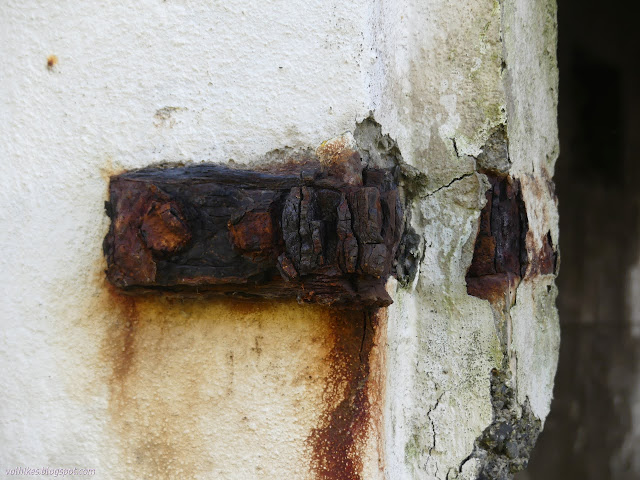
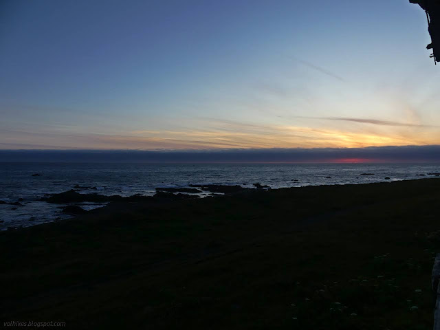
I had another good sunset spot, though did have to stand to look out the window for it.
same trip, next day ⇒
*Lost Coast album*
©2023 Valerie Norton
Written 25 May 2023
Liked this? Interesting? Click the three bars at the top left for the menu to read more or subscribe!


Comments