Lost Coast: Big Flat to Shelter Cove and bounce
King Range National Conservation Area, Arcata BLM
(yellow line, map link)
DAY 1 | DAY 2 | DAY 3 | DAY 4 | DAY 5 | DAY 6 | DAY 7
So, my tarping didn't perform so well for the storm. I'd let the one stake go without dropping a rock on it, so I had to get up in the middle of the night and resecure it. There was a rock all of 2 feet away to drop on top of it. That left the foot of my quilt wet on the surface. The wind kept changing direction, but it didn't do so laden with rain until early in the morning. I'd figured I'd just use my poncho for protection if it did that, but hadn't decided how that would work, so it took a while to sort and wasn't very effective when done. I simply pulled it across, hopefully wet side out in the dark. Anyway, things only got moist and it's not down nor particularly cold.

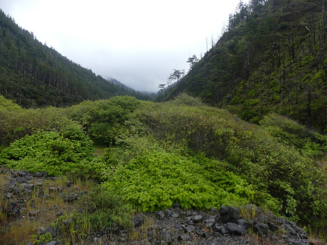
There would be no waiting around for things to dry. Morning is never a good time for that anyway. I needed to get about 7 miles by 1PM-ish due to the next impassible section. This one is not quite so strict as the other and has no especially tight spots on the end. The ocean sounded louder. I hadn't been able to hear it much in camp when I went to bed, but could hear constant waves when I got up. This didn't translate into a particularly rougher ocean, though. I got everything squeezed in and started the day off with a wet foot crossing of the larger portion of Big Creek.
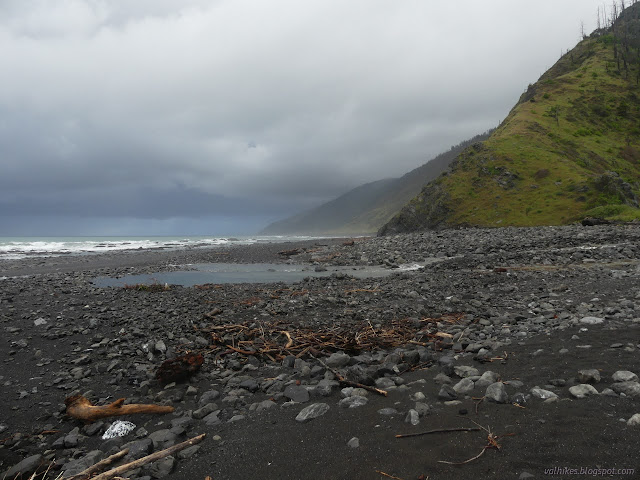


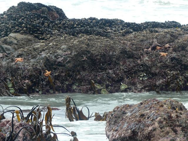
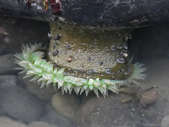
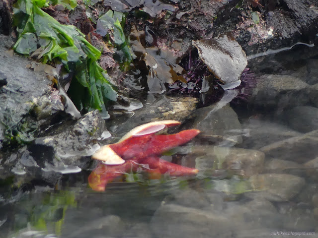
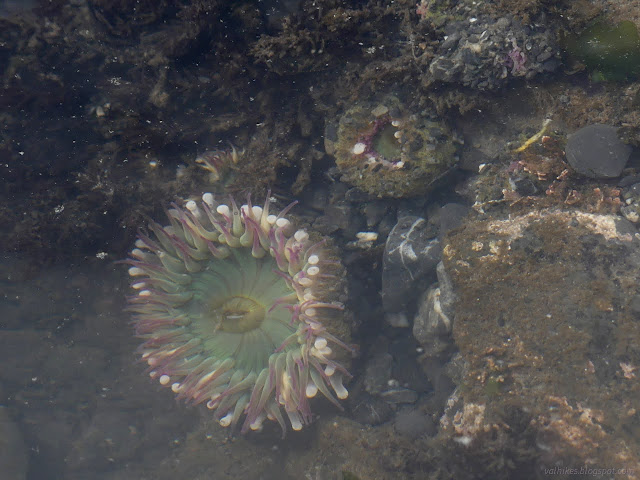
I wasn't feeling very pressed for time and there were tide pools to ponder, so ponder them I did.




I spotted routes up to Big Flat and decided the turkeys wouldn't be waiting up there to attack me again. I'd be sneaking up on them and they wouldn't notice. Also, they'd have long wandered off somewhere else. I walked through the grass a little, then went inland to find and follow the old road. There's trail where the road has washed away. Last time, I avoided the (active) runway that the road, now trail, follows, but went along it this time.


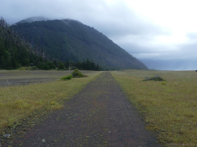


Big Flat Creek was another wet foot crossing, but the last. I had been told the trail doesn't stay on Miller Flat quite as far now. I had managed to get up onto Miller Flat earlier than usual on my first trip and I stayed longer on it this time, following the old road until it was near to the collapsing edge.


There was a way to get down, though it would have been very hard to get up that route, and I took it. Thus commenced a little longer on the beach as I entered the second large impassible zone.



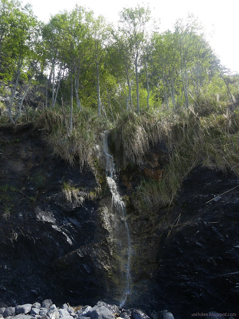
As the water got up higher and there were fewer rocks and pools to investigate, there were waterfalls to gain my attention instead.

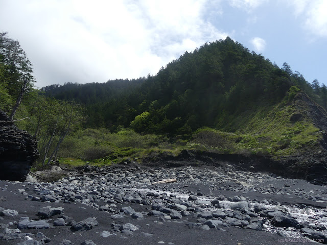
With less than a mile to go on the impassible zone and feeling like I was still just giving myself minimal time, I passed a backpacking group headed north. That would surely be fine if they were only going to Buck Creek.


My original plan was to bounce off the south end of the beach trail, then head up Horse Mountain Creek Trail the next day, picking up water near the top of the trail to dry camp later and hike to Telegraph Spring the day after. A better plan would be to go up now to camp at the water near the top, if there is a site. Then I could camp at Maple Camp with water, followed by camping near Telegraph Spring. Not only does this plan have water at each camp, but it has nicer lengths in between. One thing making me worry about either was that I was told that Telegraph Spring might be hard to find a couple years ago. Another was that I was told the trail crew hasn't been through on King Crest Trail yet after the heavy winter. One thing annoying me was what persuaded me to take Buck Creek Trail instead of Horse Mountain Creek Trail on a trip in 2020, there's seven miles of road walking on publicly open road. I decided to wander up Horse Mountain Creek Trail a short way and ponder my options.

The trail was green with new growth that was a lot shorter than all the growth around it. It suggests regular use, but maybe not recently. I really didn't want to do all that road walking, but what really got me was the mystery around Telegraph Spring. I headed back down to hike the rest of the way to Shelter Cove and then camp at Horse Mountain Creek, assuming no one had taken the site before I got back. It isn't a very big site. Then I'd think some more.


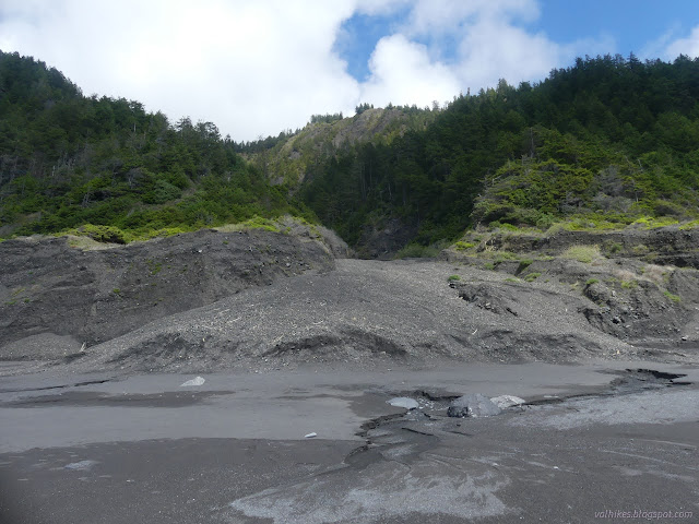
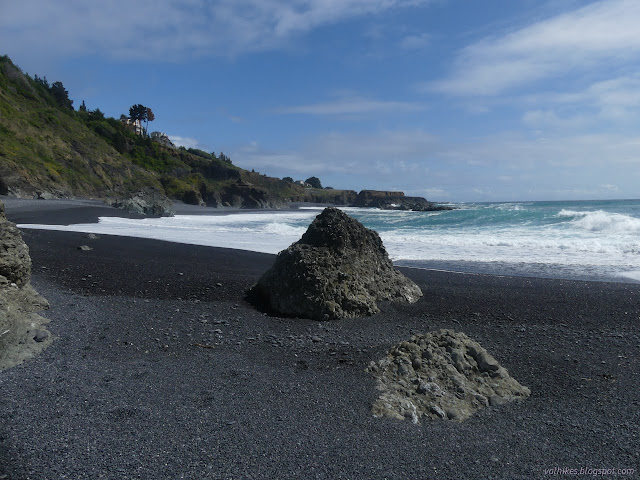
I decided to hike out to what is sort of a point and the end of the beach rather than up to the parking lot (and bathroom) at the trailhead. I had pondered skipping this last mile entirely, so skipping the little bit that is only there to service getting people to their cars was easy enough.

The trouble is, the beach didn't end. This is expected to be a low tide only point, and the tide wasn't especially low. It was going down to the high low of the day, still 4 feet at its lowest. The beach was determined to go all the way around Shelter Cove as near as I could tell. I decided I'd gone far enough.

There's a Redwood Edventure for Black Sands Beach (though the program is still in hiatus). It feels a little skimpy if one is not going up to the parking lot because it starts with the mosaic by the viewpoint up there. (It's a nice mosaic, give it a look.) There's another stop by the information kiosk for suitable warnings about the ocean which doesn't have to be as calm and soothing as it was this day. It finishes at the grand debris flow that had grabbed my attention already on the way south.
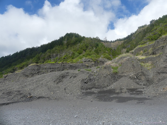
ATVs passed me as I walked back. How did they get there? Then I realized they were dressed like firefighters. The volunteer firefighters are what passes for search and rescue around here. Unfortunately, they get too much practice at it. (The group in the linked article is very likely that group that passed me going north. Other than entering the impassible zone very late, they seemed quite well. They were putting down a good pace, faster than my own, two of them enjoying the sand barefoot. A happy little dog was with them. Maybe I missed a detail since I really didn't look closely, but it seems like things might have gone downhill fast for the rescued hiker. Or maybe it was another group of four.)

No one had grabbed the site yet (unless you count the ticks) and so I set up. The tarp finally got to dry and would keep off the little bit of gusty south wind. A pair after me had sort of wanted to stop there judging by the snippets of comments on the wind. There's actually a lot of elevated sand that people have been camping on near the small site, but I'm not sure how safe it is. The tide came a long way up that night.
same trip, next day ⇒
*Lost Coast album*
©2023 Valerie Norton
Written 21 May 2023
Liked this? Interesting? Click the three bars at the top left for the menu to read more or subscribe!


Comments