Lost Coast: Punta Gorda to Big Creek
King Range National Conservation Area, Arcata BLM
(orange line, map link)
DAY 1 | DAY 2 | DAY 3 | DAY 4 | DAY 5 | DAY 6 | DAY 7
Waves of rain passed in the night and it was dry but windy when I started the day. I needed to make it early because some parts of the trail can only be done at a low tide (below 3 feet, generally, but a couple spots are getting reported as below 2.7 feet now) and the first 4 mile section of this (referred to as the impassible zone) was coming up in 2.4 miles. The low tide was early and one of those especially tight spots is the north side of Randall Creek, the very end of this impassible zone. Yes, the tide would be coming in rather than receding as recommended, but it was a rather flat ocean and I have been here before. I had a pretty hard deadline of noon for the first 6.4 miles, which is tight but really shouldn't be hard to make. However, that rain overnight wasn't the rain I was anticipating. That was still to come this evening, so maybe the ocean wouldn't stay quite so flat.


I didn't bother to try to make breakfast in the wind up on Windy Point. It's about a mile to the lighthouse and I decided I'd just use that prebuilt wind block to make it easier. The wind was stiff and from the south and I was waiting to take my puffies off after breakfast.

But the tide was low and many rocks exposed, so I had to have a look at the pools left to see what I might find.


I passed the first of the cabins along here. Every time I see someone praising how remote this trail is, I think about the half dozen cabins, most of which the owners can drive to, scattered along it. Buildings that aren't even research based just isn't what I associate with "remote". Then I crossed Fourmile Creek into the King Range Wilderness and left the tidepools for the overland path. There are more tidepools to look at, but the beach from here to long past the lighthouse belongs to the elephant seals. Legally. It is illegal to harass them. Also by all good sense.


The eternally open door of the little lighthouse was letting in the south wind, but I found a tucked away spot in the back without much gusting to cook. Outside, the elephant seals were constantly making noises. It is mostly clickings and clackings that sound conversational and grunts as they posture at each other. At this time of year, they are mostly females, but they still constantly challenge.

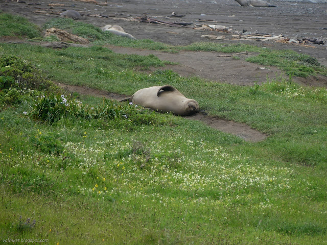

I headed off again, but still didn't get my puffies packed away. It was still cloudy with a cold wind from the south and random moments of sparse raindrops. Maybe not quite random. The rain seemed to be slowly coming down the coast and would pop up any time I paused to ponder the nearby environment more closely.
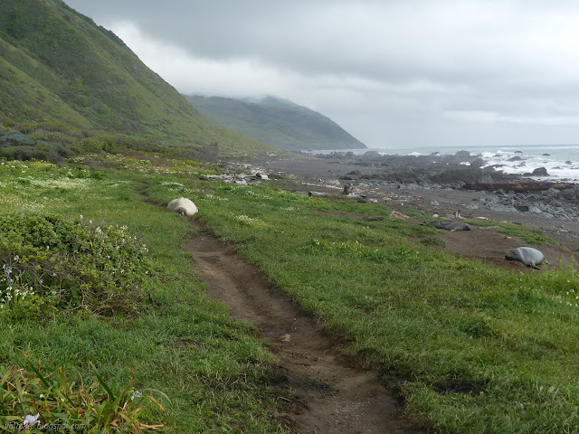
From the lighthouse, the trail begins to climb. First it passes a waterfall with a camp below, then up higher. The cliffs cave away and if you just follow trail without paying attention, you'll go over the side. There's ever more to climb to get around these, then down to another camping area with barking sea lions off on a nearby rock. All of these are popular stops.

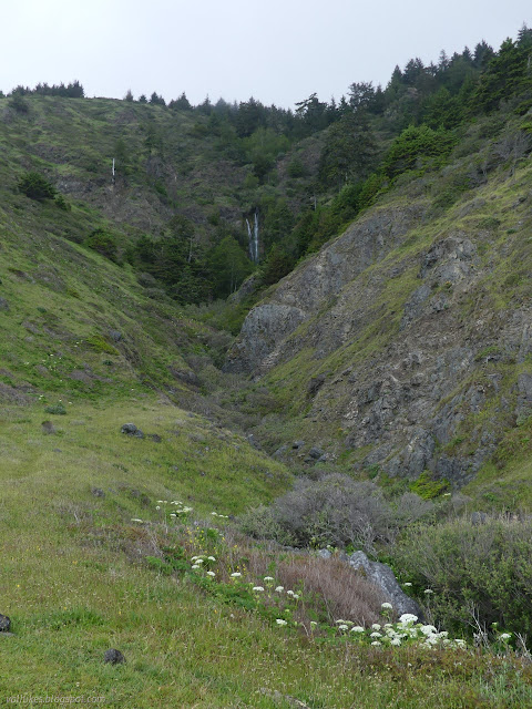

The last with the sea lions is Sea Lion Gulch and it marks the end of overland bypass trail and the start of the impassible zone. Low tide had already passed, but I still had a tight but doable walk to finish it in time. I was worried about the way down, which follows the side of a creek, but it wasn't bad. No worse than before anyway. Before dropping, I pondered an odd outline in the distance, which was apparently the Scenic Eclipse, an expedition cruise ship that has done the Northwest Passage. Impressive.


Hat Rock, a rock balanced up on a larger pillar, marks an always impassible point. I spotted it and looked for the trail, which was nice and solid at the side of a creek. Up and over, one comes to the Cooskie Spur Route, marked by a post that pointedly doesn't say so. When I last passed, there were two buildings and a difficult trail back down to the beach. Now there's two piles of flattened wood and trail stays high further, crossing a creek and climbing steeply in deep mud before dropping down another creek to the beach.


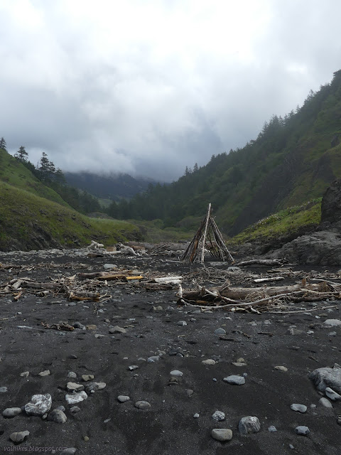


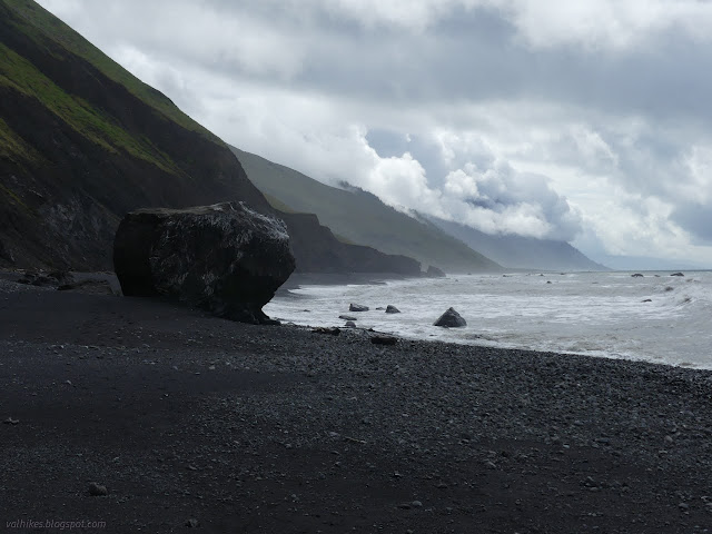
I made it to Randall Creek with an hour to spare before it was a 2.5 foot tide, but that last point was already feeling the slightest bit tight. The water washed it once in a while.

You can stay on the beach after Randall Creek. If you are alert, you'll see a trail leading up to Spanish Flat. The trail can be quite thin and scampery above the failing cliffs at first, but settles into the flat quickly afterward. I went up and had some lunch and finally got rid of my puffy clothing, then stayed high. A large group of footprints, probably the ones that started at Cooskie for the day, continued on the beach.

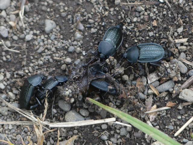


There's another cabin where the trail is pushed to the beach, or at least nearly so. You can go up onto the flat again, but I stayed on the beach except for a brief look about.


And eventually I came upon Big Creek, the goal for the day. This one has camp sites far back within the trees. For the small storm coming up, I rather wanted the shelter of those trees. They turn out to be squat and wide spreading Douglas firs. Weather or soil is keeping those trees to that shape, maybe both. I wandered back and found a space I liked and set up against the wind coming from the east as it was mostly doing. Unfortunately, not entirely. It would come from all directions at times. Maybe it wasn't such a sheltered spot as it was a randomizing spot. The soil is a loose gravel with a little dirt that was surprisingly easy to put stakes in and not that strong against getting stakes pulled out. I made use of the collection of large rocks already brought to the site to secure things.
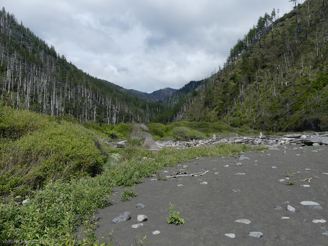
There weren't the driftwood castles I remembered being there. Not too surprising that nature or humans might pull them down. The area seemed more covered in vegetation than I remembered, too. From camp, I didn't do much more exploring, but relaxed for the rest of the day. Getting in by 6PM means more than 2 hours of daylight left in the day now!


same trip, next day ⇒
*Lost Coast album*
©2023 Valerie Norton
Written 15 May 2023
Liked this? Interesting? Click the three bars at the top left for the menu to read more or subscribe!


Comments