Black Lassic
Six Rivers National Forest
(map link)
I headed up to the Lassics via the Senteney Rock Road (1S07), which is wide and smooth gravel all the way up to the county line where a small section marked as Jeep trail on USGS maps has a rather more dangerous feel when in a little car. I was looking for an old and rough road up to a "campground", or so the peakbaggers keep calling it. I didn't find it, but it is obvious when traveling north. There's no parking next to it and no driving it in a little car, so it didn't matter. I found a small turnout near the saddle between Black and Mount and decided upon a direct approach rather than looking for that road.

Black Lassic is the tallest of the Lassics and it sits in the footprint of the 2015 Lassics Fire. Besides the too many burned trees, I was struck by how absolutely dry it is up here. There's even a little patch marked "desert" just to the north of the peak, although I rather doubt one little spot gets sufficiently small amounts of rain to qualify. Pretty much my only impediment to walking wherever I wanted was knee high ceanothus, fallen trees, and a few steep slopes. I hiked over a small peak toward Black Lassic keeping a bit south of the ridge.

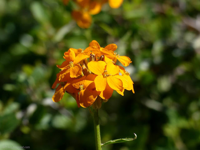
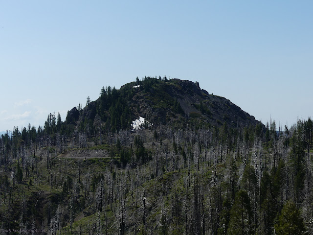
Upon reaching the saddle between the peaks, I found the use trail coming up from the "campground". It follows a very faint old road track that ends at the saddle. A distinct narrow footpath continues along the edge of rocks, then up through them. I followed this upward. There are also some lesser used paths.

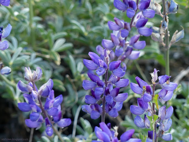
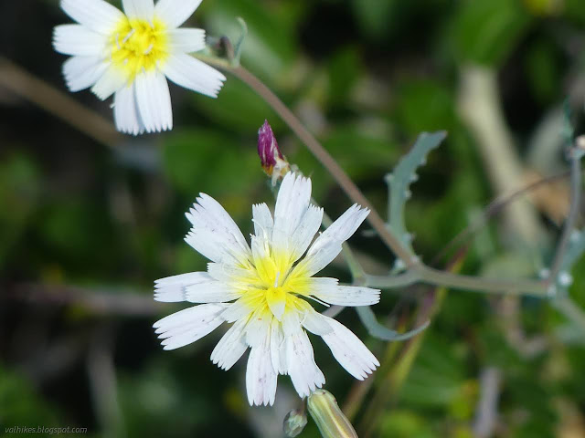

At the top of the rocky section, trail just follows the ridge spine upward over an easy to walk gravel. Halfway up, I looked back to see a car parked behind me. Goodness, the place is crowded.
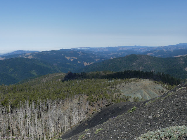
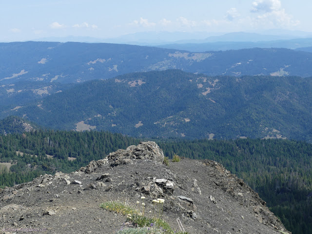

I took a little time to take in the extensive view.
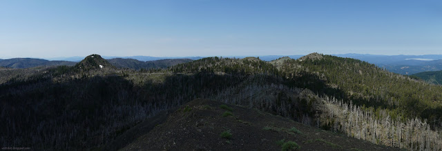
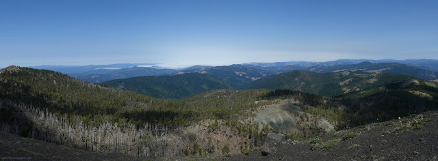

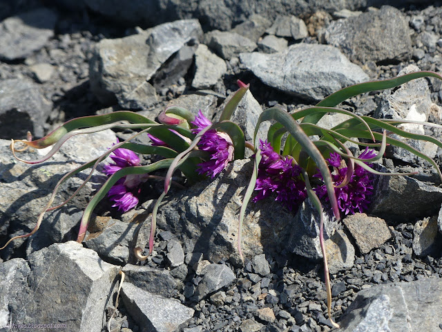
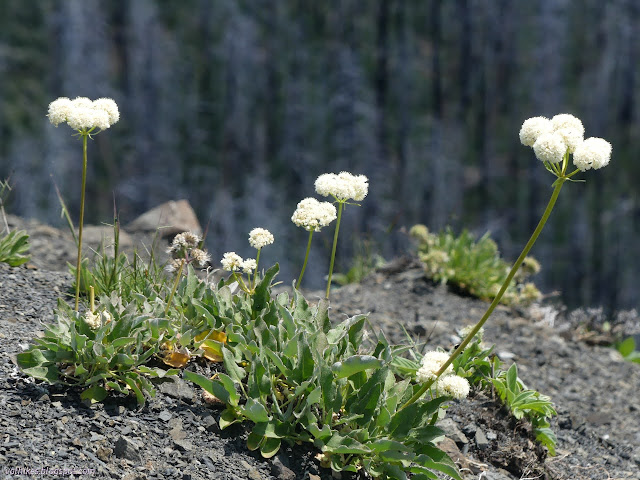
Then I headed back down, stopping for the geocache and checking out the flowers I missed on the way up.
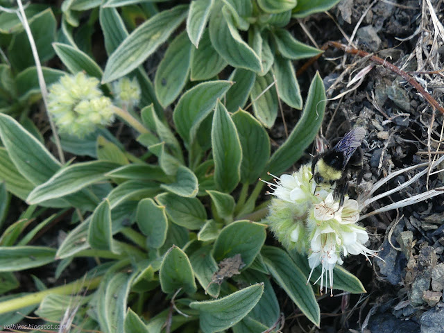

I bumped into the folks from the other car as they came up. They were here for brine shrimp. There's some ponds over thataway. And there's me there for boring ol' lupine flowers.
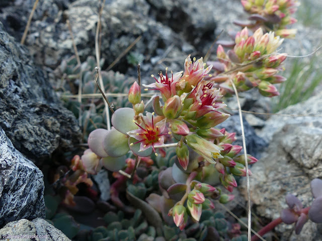
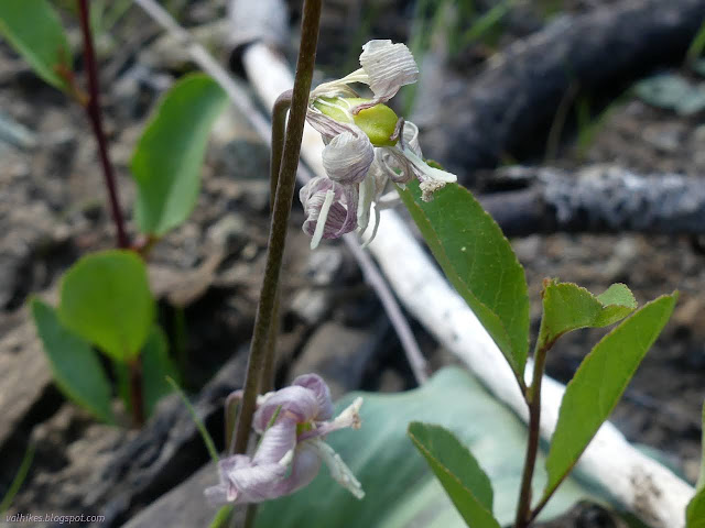
At the saddle, I turned to follow the trail down. It was slightly rough wandering around the ceanothus and I might as well find where the trail goes. On the way, I was distracted by a patch of green where the map shows a spring. I went to see what might be there.
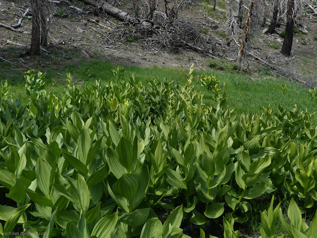
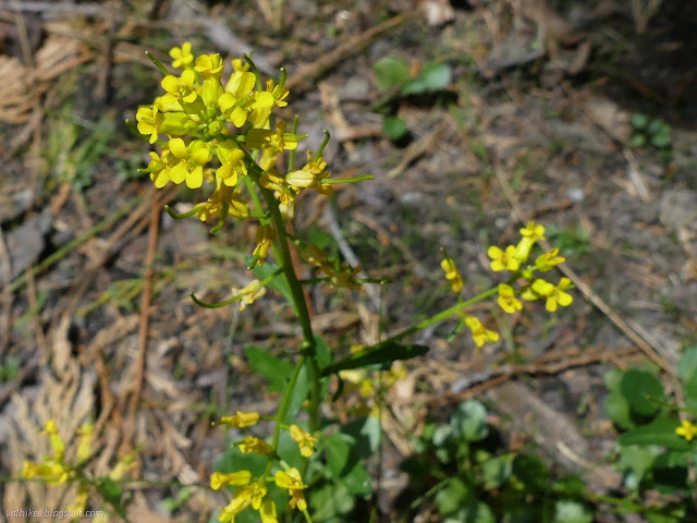

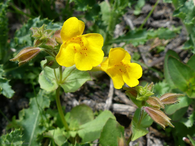
The water does seep back into the ground fairly quickly after the spring area, but for that area, there's quite a large puddle and marshy area full of water loving plants. I got back to wandering down to the "campground" where someone has happened to build a campfire ring. That and space to pitch a tent is all you get there. I proceeded down the road, which will need cleared before anyone drives up.
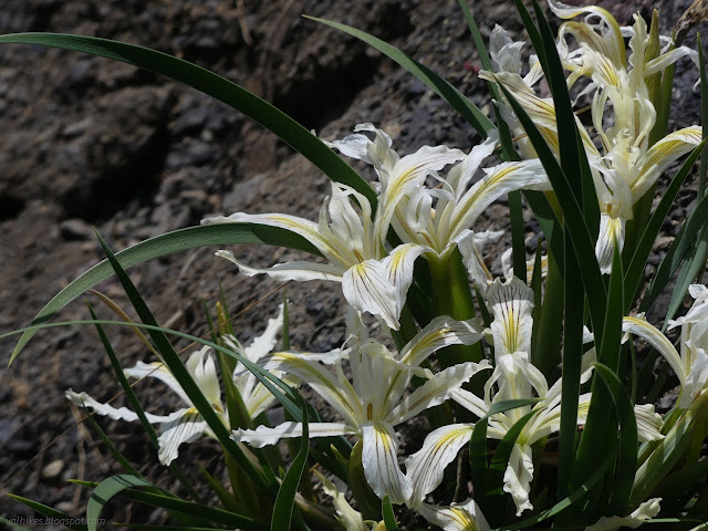

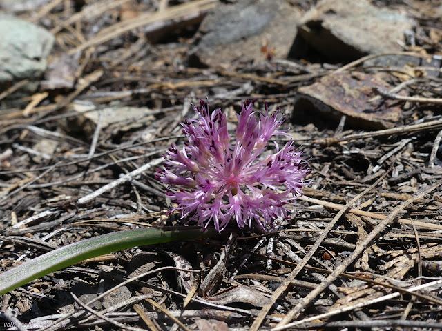
I headed back up the road toward the car, noting another flow of water on the way. Perhaps it is not quite so dry as I thought from looking about on the drive up.
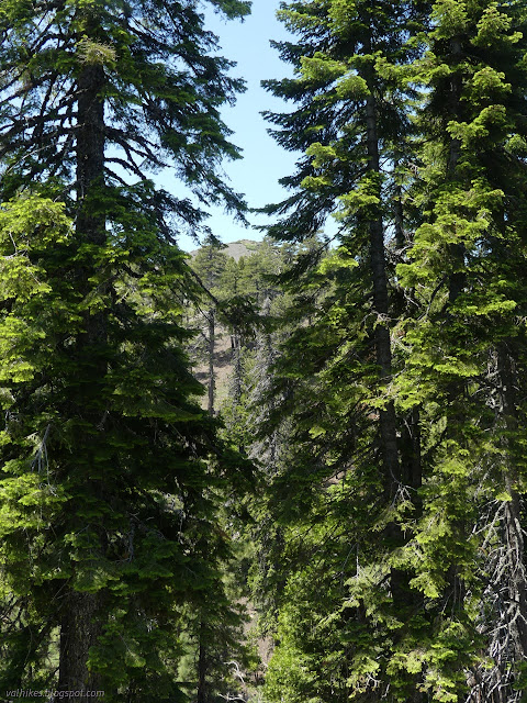
*even more photos in the album*
©2023 Valerie Norton
Written 17 Jul 2023
Liked this? Interesting? Click the three bars at the top left for the menu to read more or subscribe!


Comments