Blake Mountain and Spring
Six Rivers National Forest
Trinity National Forest
(Map link.)
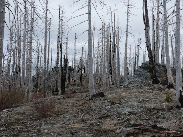
Blake Mountain is the named high point of South Fork Mountain. I planned to start at Blake Springs Campground for the little wander to the top. There is no sign for the campground nor much evidence of it left. I think I ended up stopping near the south end of the old campground. It is a turnout with some actual green trees in the area and has a couple roads connecting to an old bladed road. It would have still been drivable if not for the trees across it. I started north along the road passing a couple of what looked like bladed pull-in points, as is typical of a campground. (USGS actually claims the campground was at the spring.)

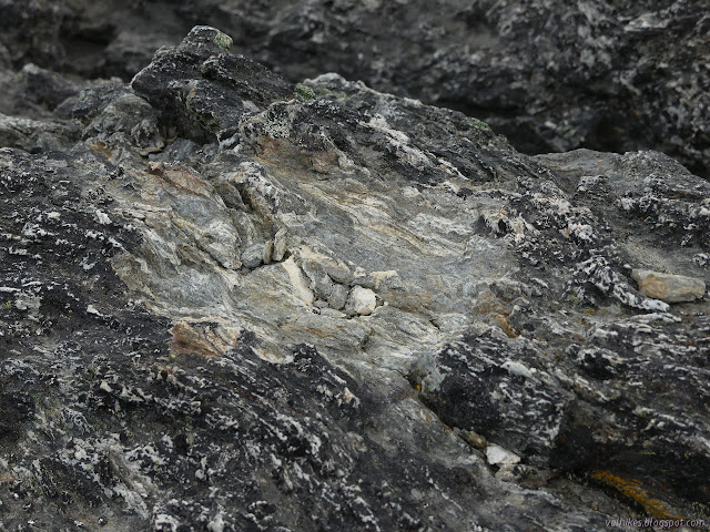
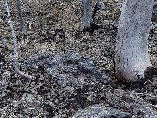
There are actually three locations one might find benchmarks around this high poing. My map claimed I should find the USGS benchmark just past one pull-in, so I wandered off the faint road and into a rocky outcrop to find it.


I continued on, finding the old road gets near another pullout. It also has more trees down on it to keep people from using it from that pullout.
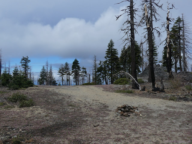
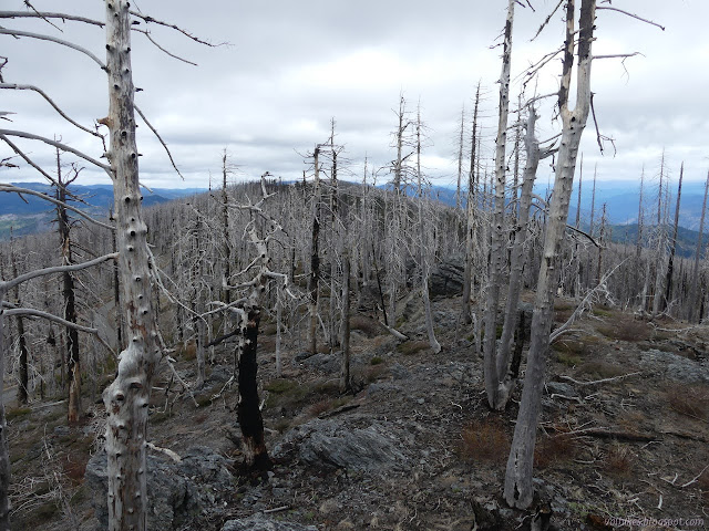
Faint road continues north and I continued on it. There are more rock outcrops. I suspected the first of being the top, but there is more up to go from there. I checked out one outcrop near the road to see if there might be an azimuth mark. Guessing where the azimuth might be has never worked out for me before and didn't this time. The benchmark at the high point doesn't have one and the other two aren't in the NGS database so I can't look them up. I didn't bother to check a further outcrop, which left me wandering toward the South Fork benchmark instead of the Blake.
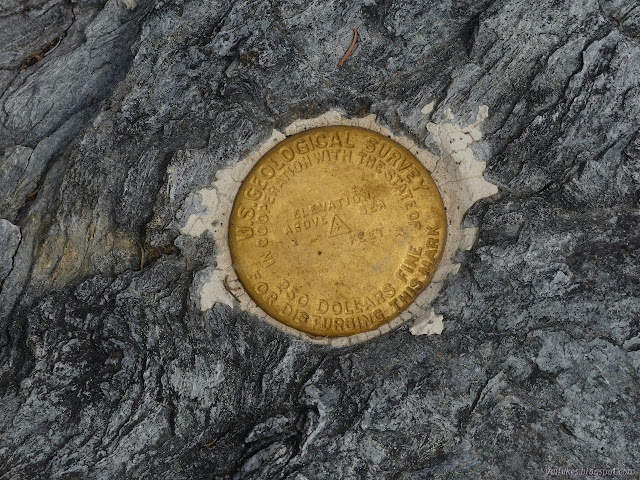
Having passed the high point, I wandered up the big outcrop that came up next. I didn't find a benchmark there, either. I was wondering what bit of rock they did choose when I finally took note of the rather round, lighter colored hole I was looking at. There had been a benchmark. I found a second spot that might have had another, but no actual marks.

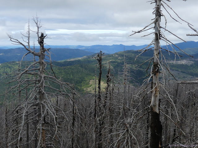

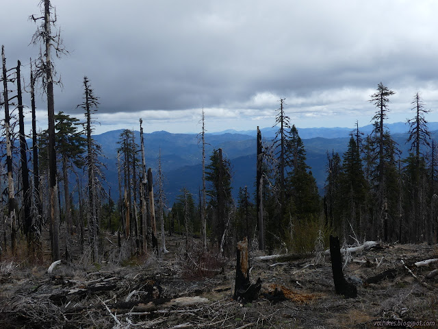
After enjoying the view through the dead trees, I headed cross country to try once more for the actual high point. Getting there was easy. At first, I couldn't find the benchmark there, either. It is not in one of the many rock outcrops. It is set in a concrete block in the middle of a flat spot that was probably where the lookout once sat. The lookout had already burned down in 1961 when the benchmark was placed and I didn't even find the usual scattering of nails to mark it.


The description of the station and reference marks all state the distance to a tree with a triangle blaze. I wondered if I could find it. The general location indicated had six trees once, but three of them burned up. The other three are dead and I couldn't find any sign of an old blaze in the wood. It does show, even after the bark has been stripped off, if it grew a bit after the blaze.
I headed back. I had seen a faint old road heading down the mountain to the east where I expected the road for the spring to be, so gave it a try. The clouds (and radio) were suggesting the chance of rain for the night was actually coming through a little early, but I could see only slight rain in one direction in the distance.

The road was easy to follow until where it just drops into the gully above the spring. From there, I just followed the gully to the green spot. I quickly found some old, wooden spring boxes, too. I was definitely where I was supposed to be.


I headed back up, pausing to explore the apparent remaining camp site to see where it was along the road. It was the bit where I had decided to use the gravel beside the road instead of the expanse of potholes on the road. There were only two spots that bad.
*album link*
©2021 Valerie Norton
Written 12 Jun 2021
Liked this? Interesting? Click the three bars at the top left for the menu to read more or subscribe!


Comments