Beith Creek Ridge Route
Arcata Community Forest
(Map link.)
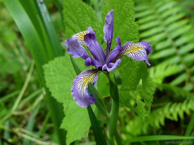
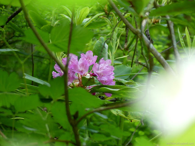
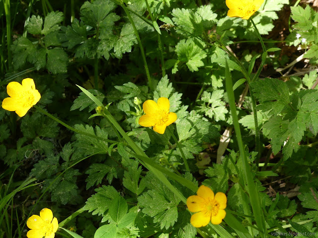
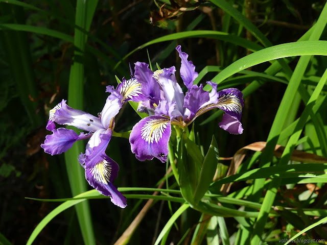
I decided to do another loop around Beith Creek with the camera since it has a rather different selection of plants to contrast with the nearby azalea reserve. For one thing, the Rhododendrons are marcrophyllum rather than occidentale. They're a little later blooming, but I hoped to see one or two around. Right now, it's irises doing the showing off.

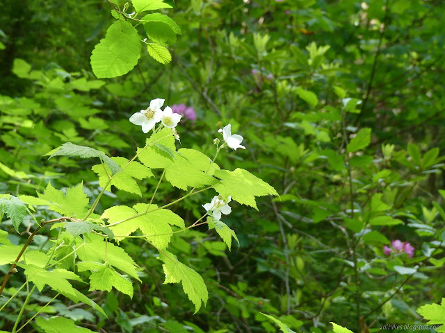
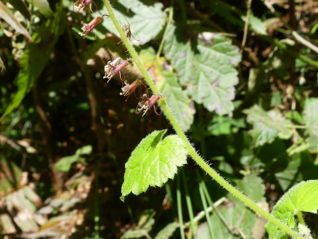
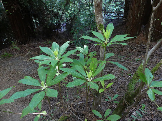
Right at the start, the thimbleberries were really full of flowers, but that's something that can be found in both places. I'm not certain why the ginger and irises aren't found near the azaleas. Perhaps I just missed them. I turned to follow the Beith Creek Loop counterclockwise, because that's my preferred direction. I quickly found the second blooming rhododendron. It could also accurately be called the other rhododendron. They're not ready yet.


Clockwise does mean up a very steep trail. I eyed the ribbons, starting to fall off, marking the potential 2-4 switchbacks planned to replace the ridge edge trail. It is one of four trail adjustments planned for the area. The sooner the better as the old, too steep bit of old road now used gets scraped bare of anything organic and the ferns grow up on the old roads the better route will follow.


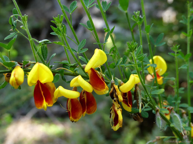
Once things flatten out and turn into obvious road at the top, there's quite a lot of invasive plants. There's really quite the variety of invasive peas (legumes) in particular. Maybe it's just that peas are so very common in the first place.


I stuck to the road as it becomes the Ridge Route and then as it passed the future home of the Ridge Route. That is another trail change that I'd like sooner than later. I think all the various studies have been finished for it, but no idea for sure. They found remnants of a logging camp somewhere within 30 feet of the trail. I liked it better when it was signed "future home of the Ridge Route" rather than "no trespassing" as it is now.


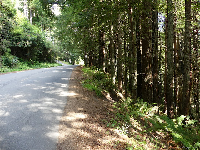
The road vanishes under power lines in the sharp leaves of pampas grass, but trail turns to wind up the last few feet to Fickle Road. This part is unofficial, but has gotten a lot better defined than it was four years ago. At this point, bikes are likely to zip by from time to time.
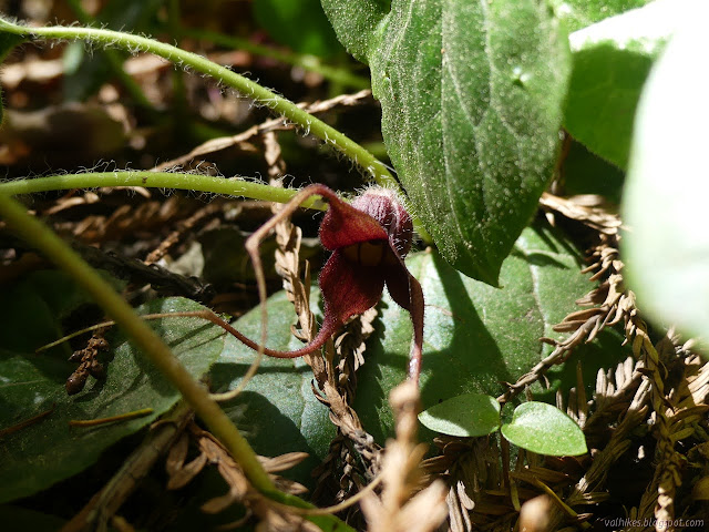
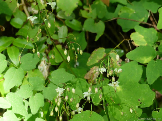
I headed back down the shorter and shadier way. Besides one wild ginger flower that didn't even need looking for, I didn't see many flowers on the lower section of the Ridge Route.

The narrow concrete stairway at the trailhead is another thing they want to change by adding a path for the bikes to climb. The fourth trail change is the addition of a route to Beverly so another neighborhood can be served directly by the forest. Good things coming, but it sure does take a long time.
©2021 Valerie Norton
Written 22 May 2021
Liked this? Interesting? Click the three bars at the top left for the menu to read more or subscribe!


Comments