Indian Butte and Horse Mountain
Six Rivers National Forest
(Map link.)
Road trip! Well, maybe not so big as that. I wanted to return to Bug Creek without the finish of driving at the stroke of midnight, so I elected to do a bit of camping. As long as I was camping, I might as well be out a few days and perhaps even see the rest of Forest Route 1 starting with the familiar and moving right along. One other thing I wanted to do was explore the area of Horse Mountain in less snow and tag Indian Butte while I was at it. I found plenty of room to get out of the way of traffic at the road toward Indian Butte from Horse Mountain. This road is closed at the moment in a effort to protect the Port Orford cedar from killer fungus, which suits me quite well.

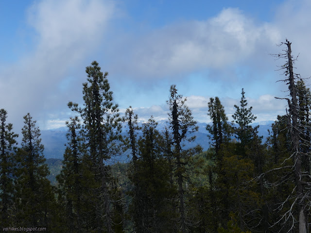
The weather was seeming a bit unstable, blowing clouds across the mountain, leaving sun sometimes and murk near or far to mess with the views most times. With all the water in the sky, the weather computer wasn't expecting it to come dropping down.


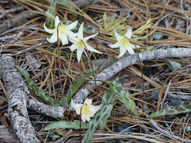
I wanted to find fawn lilies while out on this trip and that was quickly accomplished. There were more and more and more. They are simply everywhere! When I found them before, they seemed to congregate in wet spaces. I had a few plans to pass by streams to catch them, but I just needed to have my eyes open to find them. Not that there wasn't water flowing near the road even though practically at the peak.


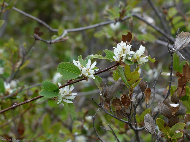
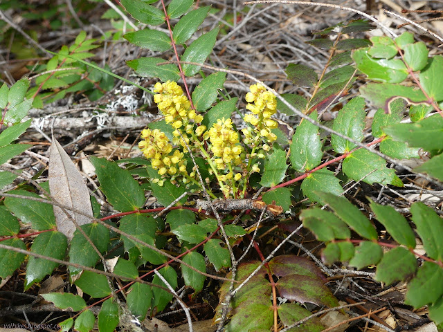
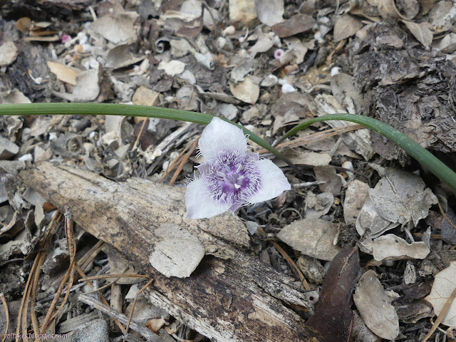
Of course, it being spring, there's plenty of other flowers out to bloom.
The road would be mildly rough if I was driving, but easy for walking. It drops slowly for a while before ending just short of the saddle between Indian bluff and the rest of Horse Mountain.


Getting down to the saddle was easy and up the other side to a bald spot just took picking an appropriate path.

After the bald spot with a bit of view, everything got heavily brushy. I worked my way falling off toward the east side through bushes that would be a grand fight in the other direction. They were heavy with water from the clouds blowing across and maybe even some rain and I was getting very soggy from my thighs down. It was slow going and I decided there were better things to be doing with the rest of the day, particularly if this was going to be a timbered peak.

It took two tries, but I turned back. I made my way along the west side, which does seem to be the "correct" side. West sides are often drier since they get their sun in the hottest part of the day. It was still a small battle back to the bald spot, but then an easy trek back to the end of the road and on up road and old fire break and very old utility road to the top of Horse Mountain.


There was a utility worker parked under the antenna next to the peak to emphasize just how much of a drive up Horse Mountain can be. It was a few snow play and hiker sorts when I was up before, but this time the leisure sorts were target shooters. Is that even legal in the botanical area? The opening in the clouds had closed back up once I got to the top and it got worse as I waited.

I headed down along the road, turning onto an old track because it had me turn away from the target shoorters below sooner. It was easy enough to walk up until it ended above the current road due to the cutout. I managed to make a careful way down to the current road to finish the loop.
©2021 Valerie Norton
Written 31 May 2021
Liked this? Interesting? Click the three bars at the top left for the menu to read more or subscribe!


Comments
From what I can tell, even if you've got enthusiasm in the right places, getting a new trail will still take a decade of sustained advocacy and maybe fund raising. However, this whole stretch of highway constantly surprises me in its complete lack of trails. One here so campers can explore their spot without driving somewhere. The other side of Willow Creek, I think something from the rest area to Hennessy Ridge and the not-really-world's-largest tanoak would be reasonable. I'd really like a hike up to the Brush Mountain Lookout.
Then I think of how I want to hike up from Wooley Creek to English Peak, too, and there's even a trail there, but it only exists in reality for the first two miles because someone decided to exercise their firefighters there. Then again, maybe it's not a zero sum game for what gets attention. Maybe if there were trails along this main corridor of travel (CA-299) there would be more people thinking about trails in the area and the trails around them would get attention. (Maybe that one's not quite close enough to get attention, but maybe Horse Ridge National Recreation Trail is?)
Anyway, CA-299 definitely does need trails so people can stop and explore and this is an excellent space for one.