Horse Mountain Mine
Six Rivers National Forest
(Map link.)
After wandering around the peak of Horse Mountain once more, I moved just a short way down the road to the gate above Horse Mountain Mine. It will probably open soon, but is still closed to try to protect healthy Port Orford cedars in the watershed below and especially those right next to it. All the better for me, since I was planning on walking it instead of driving it. There is a big turnout in front of the gate making parking easy.

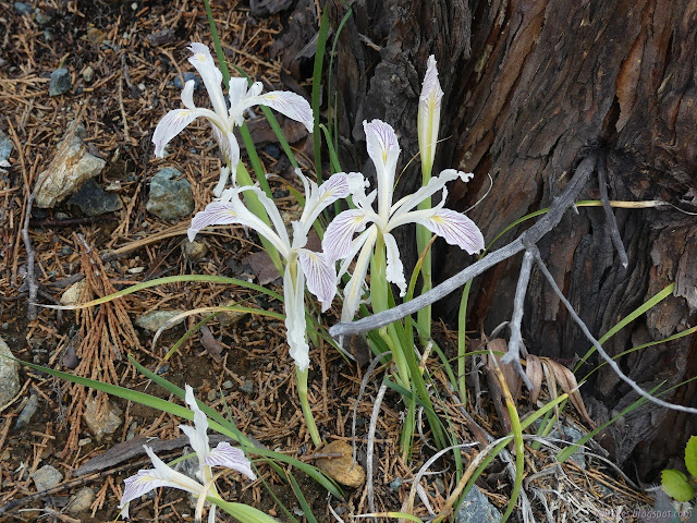
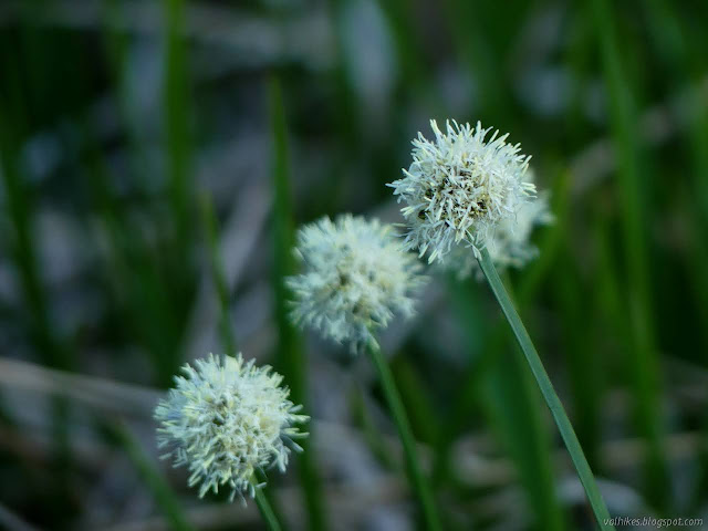
The road was absolutely lined with fawn lilies as I started down. There's some little streams similarly populated by onions and moss and something that looks like it will be irises. Out of the water, a few other irises can be found already blooming. I very quickly came upon evidence of mining.

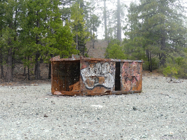
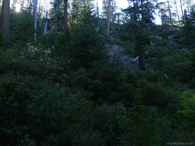
As I dropped down, it cleared up a bit until I was out in the sun without my hat. The main mine area, or at least where the label occurs on the map, is about halfway down where there is one tunnel marked. There are also ruins (mostly foundations) for various mine related buildings including some processing stuff.


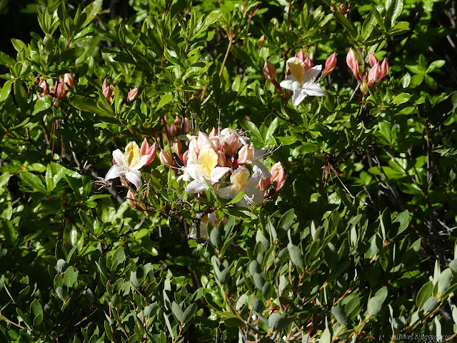
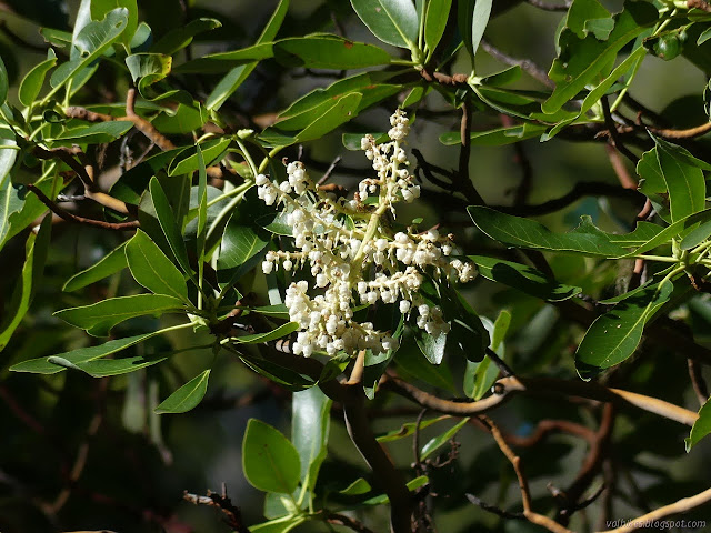
The road deteriorates below the processing area and the obvious evidence of mining vanishes. Instead, there are azaleas. The first I spotted was nearly alone, but there are also hillsides. A few bushes are in full swing with their flowers and a lot more have buds getting ready for the show. I also spotted a curious cedar with a particularly droopy character.


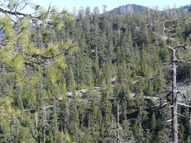
Down near the bottom of the road, it crosses a couple creeks. The provided a delightful noise before the road came to a rather arbitrary end, or at least any sort of recent maintenance. I could see the shelf of a road further along, but it helps to be bear sized to duck under all the branches while weaving around all the bushes.


After poking my way a few feet further down the brush clogged road way, I decided I was not all that bear shaped and still needed to get back to the top before dark. The maps I had weren't feeling any need to enlighten me on where the road might continue on to. Any exploration was completely out of the scope of the plan. I turned back.


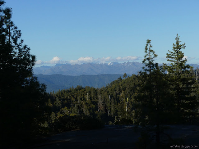

Once to the top, I needed to get to camp. Instead, I walked over to the sign that mentioned the Port Orford cedar have a bit of a droopy look to them. Then I couldn't help noticing a well used trail on the other side of the road. I followed it along a short way to where it intersected another trail at the base of a rock that looked like it might be a good spot for a view. It wasn't a good spot right then because the clouds were blowing up into a thick fog all around. I might have gone up anyway, but it would require getting my shoes soggy from bushes full of droplets. Coastal plants, always grabbing water from the clouds.

There's plenty of room for dispersed camping right at the top of the road and even an impacted tent space south of the gate. There was also already a camper parked there and people with rambunctious driving heading up the mountain, so I decided to move a little down the road. I found a minimal space at 4E35, which is a short road down to a watering hole. There's a much nicer space, but it was just the other side of a closed gate. I set up my table at one end of the car for cooking and dropped my bag and mat beside it for sleeping, so only needed a minimal space anyway. It had cleared again and the only chance of rain was slight on Thursday, so I didn't bother with a tent. The moon popped up as the sun set as if on a string and I wondered when the eclipse was supposed to be. Since it was to be visible all over the Pacific, probably in the early morning. I didn't stay up for it.
Liked this? Interesting? Click the three bars at the top left for the menu to read more or subscribe!


Comments