Beckers Racetrack, Pilot Creek, Pilot Ridge, and Henry Ridge
Six Rivers National Forest
(Map link.)
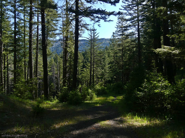
I must admit, there was something slightly harrowing about going down 2N17 to Becker Racetrack the day before. The Forest Service topo says it's an improved (but unpaved) road and the Motor Vehicle Use Map (MVUM) even claims I can do the unimproved portions of the road with any street legal vehicle. I had no reason to push it because my planned loop starts shortly after the end of the improved section. It still seemed steep and full of big, sharp rocks when going down. Somehow it didn't look so bad in my mirrors. This road is seasonal. The MVUM doesn't say what the season is but the gate was open and did not have the Port Orford Cedar closure information of the seasonal gates that were still closed. Someone had recently cut out the fallen trees, but there's a mass of standing dead waiting to come down along most of it. It was a worry as I chose a place to camp among the green trees at the edge of the meadow. It wasn't a worry as I set off on foot in the morning, heading down 2N17 through more green trees. My only worry was I might have to share the trail with a motorcycle. The entire loop I had planned is legal for motorcycles and much of it is legal for ATVs.

The split comes quickly. I had a counterclockwise plan, so I headed right on 2N17B. So did the recent road maintenance. I could see a couple trees down on the road to the left as it vanished over a little hill. I passed the newest vehicle I have ever seen abandoned down an embankment. It was bright red, doors open, the driver seat a little ripped, the driver door a lot bent along with the roof and hood, but otherwise looking absolutely new. This was still along road I could drive with my Scion and even passing shouldn't have been much of a problem. It made a bit of a spooky start.
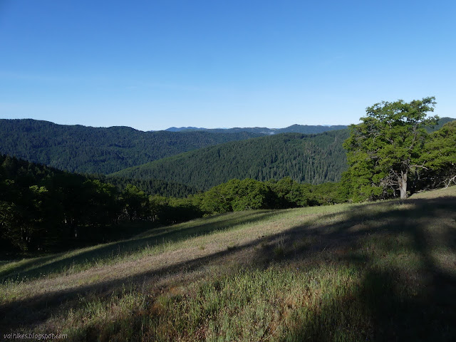
The road splits again, this time between easy and Jeep trail. The topo indicates both go where I wanted to, but the MVUM suggested I might want to stick with the trail, 5E12. The trail stays by the side of the opening, so that's what I chose, and why. It had more views and less easy walking.

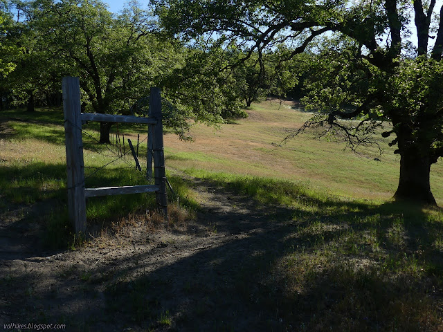
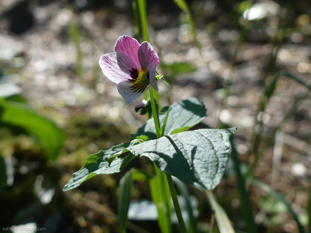
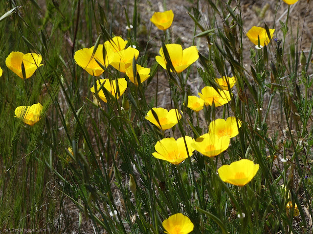
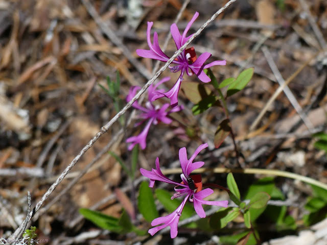
The road came to a gate which had been left wide open. I wasn't seeing where 5E12 went. I could see clearly where Skull Camp Trail 5E21 continued south. (It is one of the older trails and the thought of following it was the genesis of this plan that ultimately didn't follow it at all unless you count this bit down to Pilot Creek that used to be part of it. I does seem to have moved over the years. For instance, it once went right past Skull Camp.) I went a short way down the driveway that wasn't on my map, but it wasn't turning as it needed to, so I wandered back to the other side of the fence and followed it. It turned into road again, then shrank down to a motorcycle trail. I liked it as it shrank because there came to be a lot more irises scattered about.

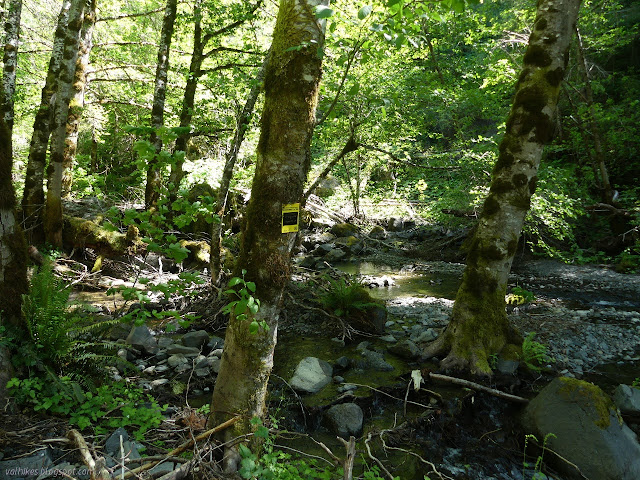
The trail found road again, but it clearly isn't getting anything wider than motorcycle traffic. I could see evidence of the burn on the trees as I followed it in nice switchbacks. I had been certain enough that Pilot Creek would be flowing that I planned to get water from it, but once I heard it, it finally occured to me to wonder if I would be able to cross it. As I started to hear it, the trail gave up on the switchbacks and launched downward toward that creek. I would find out very quickly.

The Pilot Creek crossing was very certainly a wet foot crossing. I thought about the likely warm to hot climb ahead and went right on in, socks and all. Well, not insoles. I took them out before I started. (I'm sure that's illegal to do somewhere, and rightfully so, but my Topos were feeling like tight fabric stretched over flat boards with the insoles. Without, my toes had happy wiggle room. I seem to be going to ever thinner soles anyway. The extremely foot shape of the insole does seem to indicate that the sensation of a flat board bears no relation to reality.) The water came up to my knees with barely any flow.

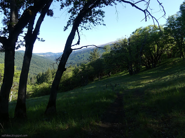
I got my water, then tried to find the cabin site marked on the map. All I could see was the eroded outer edge of a curve. I started up Becker Ridge. (This was the County Line Trail once. Maybe the name made more sense when there was a Klamath County in California.)


At some point, the motorcycle trail turns into ATV trail and then finally runs into Pilot Ridge 3N10. This is once more a road the MVUM claims I can drive with my Scion, although it is also seasonal. It doesn't matter because I had it all to myself. Even the massive camping area with developed fire rings and a toilet near the intersection was completely empty.


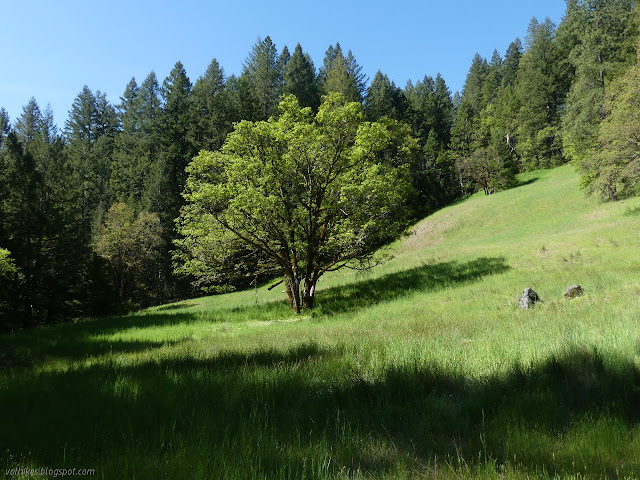
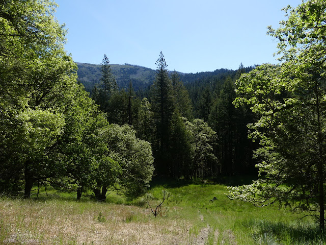
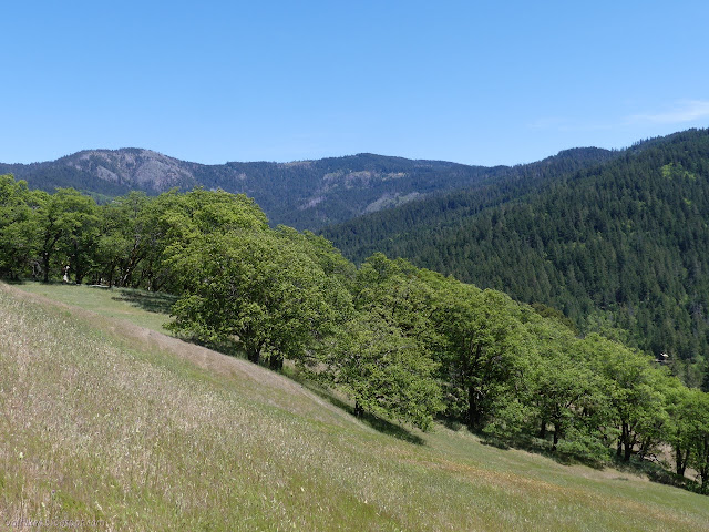
I didn't get to see quite so many flowers once on the good gravel road. It is the nature of the beast. Walking was easy and quick as it rose and fell along the ridge, generally falling downward on a long route to meet Pilot Creek once more. I left it in spots to grab a bit of view. One rocky outcrop over the Mad River was particularly tempting. Although in the blazing sun, it was pleasant with the distant sea breeze coming up from the canyon.


Past where the road had decayed from good gravel, I came to a big three way junction. The topo said road tends to the left, but doesn't quite connect with the trail I wanted. The MVUM said road turns into the trail I wanted, tending straight. Neither admitted there was an intersection. I was about to go left when I had a look at the fallen sign, which said 5E43. That's Happy Jack Trail, the one I wanted to be on eventually, at least it is as it climbs up from Pilot Creek. It was earlier than I expected, but I trusted the sign. It's Jeep trail for a while, then even warns the Jeeps as it turns to ATV trail. (But not long after that, it's really just motorcycle trail.) It dropped fast and poison oak got pretty common near the bottom.


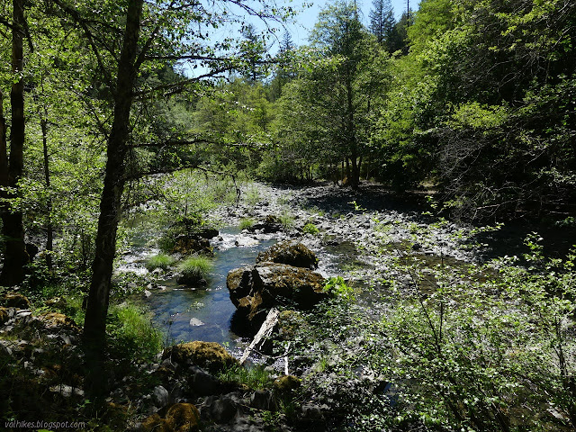
There's a potential camp area just short of the creek crossing. I was mildly worried that I should have done the loop in the other direction since Pilot Creek had had a couple miles to pick up more water since the previous crossing. The fact that a larger tributary comes in just before the crossing also had me annoyed. The crossing was not fast and, not being in a pool, actually seemed smaller than the upper crossing. It was still slightly annoying to have to cross a second creek immediately. It didn't really matter. My shoes were already wet again. This also has no options but the wet foot crossing.
Down by the creek was so nice, it took a while for me to want to get up and moving again. I watched a spider making a web over the water and listened to the birds. It was a pleasant and perfect time of day for sitting beside the water. Still, I did have a few miles to go and almost two thousand feet to climb. I got started up Henry Ridge Trail 5E23.

The trail ends at a block for anything over 50 inches wide, not that it looked like it would support even that. I started up the gravel road. I guess it would be drivable, were it not for the few trees down across it.


On a Friday with a big holiday coming up, I was expecting to see someone on the trail or along the road or at least setting up somewhere around the "racetrack", but there was no one anywhere. I still had it to myself. The road didn't seem worth getting worried about on the way up then next day. All the slopes are quite ordinary and reasonable and the rocks not particularly large. Happily, no trees had come down in the 42 hours or so, either.
Liked this? Interesting? Click the three bars at the top left for the menu to read more or subscribe!


Comments
I hope it's also easier for you, Valerie!!
Thanks, Unknown. Nope. It's just window dressing. The content underneath is the same, whatever.