Griswold Hills High Point
Central Coast BLM
Click for map.
It really looks like rain, but the automatic weather report assures me that's still on for tomorrow, not today. Today will just be mostly cloudy and I want to get out to something. Something will be the Griswold Hills high point. The area has a single day use area with bathrooms as the only official parking, although there seem to be a few turnouts too. There are no legal roads, but there is a single trail. I'm not sure where exactly it goes, but it is nice to see that it climbs the steepest bit of the hills along the route I was looking at to get to the high point. At least, there's a series of switchbacks carved into the hill, so I assume that's where it goes. There's no signs by the parking lot for it.
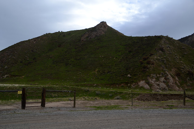
The first challenge for the trail is to get across Griswold Creek. There's no water, but it has steep sides. There's a couple routes across. On the far side, there's an old road with a lot of shooting debris. I can hear someone target shooting on the far side of the hill, but the murky looking weather seems to have kept most away. Where the trail takes off from the old road, there actually is a sign. It's the only one besides the winding line shown on the area map tucked away in the map box by the information kiosk with no panels.

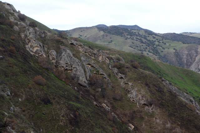
The switchbacks make it a quick and easy climb up the hill through a recent burn area. Grasses and bushes are blackened. The grass doesn't care, it was done with that bit anyway and now the new grass is getting a little more sun than otherwise. Some of the bushes are looking too charred to go on. It seems to have been restricted to just a few hill sides.


At the top, the trail continues to go my way. Now it makes a way around the small false peaks I though I would just have to go up and over. The old burn area continues, but not for too long.
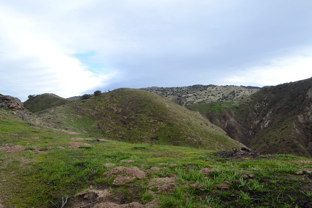

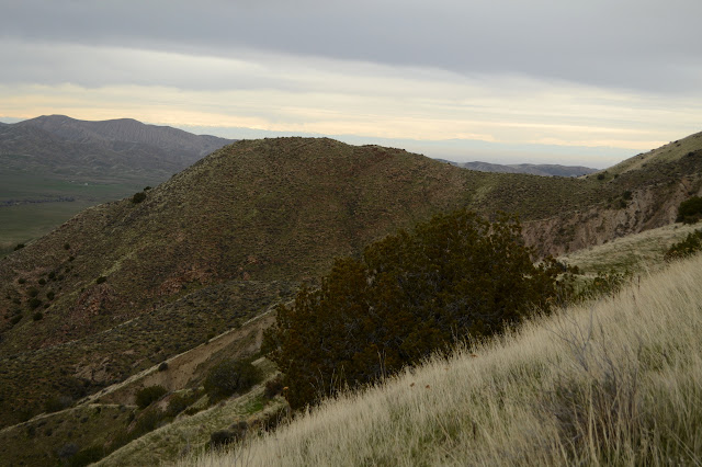
The trail stops going around the bumps along the way, but the bumps stop being any more than shoulders. I don't notice where it stops being an official trail and starts being a use trail as it continues along the same ridge I planned to hike.
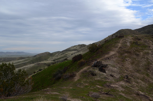
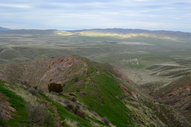

My route becomes faint and indeterminate as the ridge becomes double. It just means choices I had expected to have to make anyway. I choose to cross over to the far side which ultimately comes up from a different area. It has a nicer slope to it. Further on, I can't choose the nicer slope and just have to cross over a narrow section of ridge and then climb steeply. It is one of the few places that I can see clear prints from the last user. At the top, trail meets a fuel break. Someone has left a cairn where they meet so I can be sure not to miss the turn off on the way down. I follow the fuel break the rest of the way to the top.


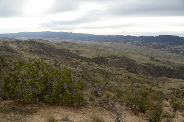
Trail continues over the top to points I know not where. There's a lot more Griswold Hills to be seen. Getting to the high point is just barely getting into them.


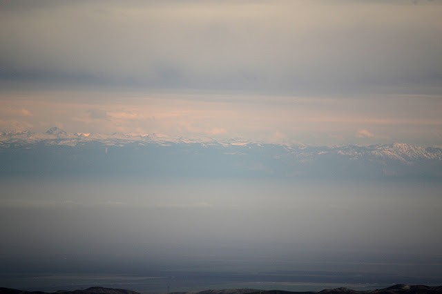
The distant Sierra Nevada peaks seem to still be holding onto the light of sunrise as a bit of pink slowly moves north through them. I have been watching it on and off the whole day and wonder how long it will last. It shows no signs of abating.

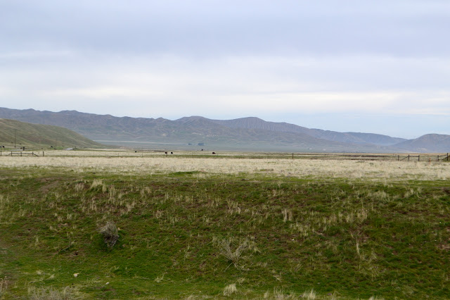
The wind is picking up and I'm pretty sure I can see rain coming down in other places, so I head back. A lot of spots have fog around today, especially the central valley, but I think some of the stuff to the west is not fog and maybe the weather machine lied to me.

The little cairn someone left for me serves me well, although I'm pretty sure I'd have made the corner anyway. I hold onto the easier, but ultimately wrong, ridge a little long before crossing over, but that just serves to show why there's not much trail showing through the section. Down I go as the rain increases around. The wind is enough to bring some over to me so I can have samples of how it is definitely not fog.

The battle with the wind and fierce but sparse raindrops becomes intense as I finish my way along the ridge and hit the switchbacks. Thankfully, coming down the hill provides a little shelter from the blow. I guess I should have trusted my instincts better. Still, it's all worked out as I'm down before most of the long afternoon of light rain.
©2020 Valerie Norton
Written 2 Feb 2020
Liked this? Interesting? Click the three bars at the top left for the menu to read more or subscribe!


Comments