Skyline Ridge Open Space Preserve
Midpeninsula Regional Open Space
Click for map.
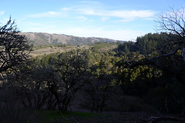
After a mildly harrowing experience of turning onto highway CA-35 only to find myself on miles of one lane road, I found some open space to showcase the ridge top. (Well, the road is what gets called 1.5 lane these days, but does have enough room to pass if everyone is hugging the edge really tight. It got more relaxing to drive after an large intersection where it regained a yellow line down the middle.) Sunny ridge top trail with views leaves me happy to just select a random loop and see what's there. For hints, there's a couple lakes and a named knoll along the loops. I am once again along the domain of the Bay Area Ridge Trail, which I had forgotten about. I expect this is part of the largest completed segment. There's also a Bay to Ridge Trail, but the only bit of that's I'll be on is the bit crossing the highway from my parking spot outside the gate (just in case I'm a bit late out). There's no one in the parking lot, but the park isn't empty.

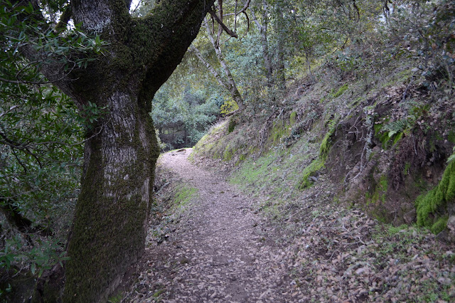
I start off with a gentle climb through meadow, then duck in among the oaks. In the shade, the trail is moist and slick. It hasn't been all that wet, so it's not bad. There's even culverts to help it drain in some areas.
It doesn't really matter much which way I go at the first intersection. My loop is really a string of three loops, so I'll be here again. I keep to the one marked BART for now.


There's a few buildings that look like storage and such for maintenance as I get near to Alpine Pond. The trail around past the nature center (open weekends only) is the third in my chain of loops. The view of it is a bit chocked with blackberry when I first see it, but there's some good places to watch the ducks on what is actually a tank on the way around.

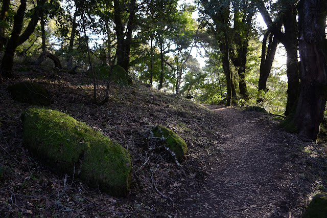
I complete the loop across the earth dam and back to completing the second loop. This goes past a bit of old barn and through some grand oaks even if this isn't the trail labeled "Ancient Oaks Trail".


Around the trail curves with the view seeming to extend a little further with each step although the furthest reaches of the view are shrouded in mist. I'm sure there's ocean down there somewhere. Once the view gets to its greatest extent, there's a view with a dedication.


I enjoy some more very well maintained trail as I finish off the second loop.


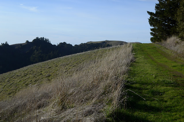
Finishing the second loop, I get on to the greater part of the third loop. This one passes by Horseshoe Lake, which turns out to be another tank, and Fir Knoll before coming back to the equestrian parking. I got caught spending too much time failing to find a geocache, so it's already getting to sunset.


It's getting near dark as I hit the top of Fir Knoll, but that doesn't matter much. The tall trees don't allow for any views at all. It's a little spooky to be among them so late.

The knoll actually makes a fourth little loop at the end of the string. I try not to disturb the frogs as I pass by the lake again. They are enthusiastic and about as undaunted by people passing as the deer were. It's a nice music. Once back to the equestrian parking, I take the road back to my parking although there is trail. It's a little late to really experience it at this point.
©2020 Valerie Norton
Written 17 Feb 2020
Liked this? Interesting? Click the three bars at the top left for the menu to read more or subscribe!


Comments