Bear Creek Redwoods Open Space Preserve
Midpeninsula Regional Open Space
Click for map.
I was trying to wander my way along the ridge line, but I failed to notice where I needed to turn to go over the big freeway from Summit Road to CA-35 and was unceremoniously dumped onto CA-17, but I found this nice park because of it. Like the East Bay Regional Park system, the Midpeninsula Regional Parks have plenty of signs that include a map with more paper maps in a box to take with you. If they do happen to be out, it's online too. They also have gates on the parking that get locked. Generally it is half an hour after sunset to sunrise, but this one opens a half hour before sunrise. There's almost no one here, although it says the lot can fill quickly on the weekend and there is no nearby overflow space. It might be because dogs are not allowed, so there are no dog walkers keeping it busy in the early morning. The map shows a pair of trails that join again on their way to Madrone Knoll, one passing a spot marked "old-growth redwoods". Sounds good to me.

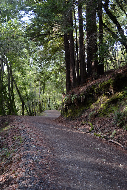
It's all across the road. There's only a little lake and bathroom surrounded by closed area on this side. Cars go by fast in big bunches leaving plenty of room between the bunches to get there safely even though the sign next to the crosswalk button warns they might not figure out they need to stop if you push it. The traffic is quickly put behind as a gravel trail winds its way up past a flow of water to a gravel road above. The flow is probably considered a trickle around here, but it gives out a nice little song. The gravel makes it a nice walk even with plenty of wet.

They mention that the park area is far from pristine and have a long list of camps and compounds and retreats that have occupied the area over the years. The geocachers have pointed out one of the locations where ruins of one of these remain. Just up from the trail is a bit of fence and a large outdoor cooking thing. Steps lead up to where a building stood, but there's only the outline of the foundations and the palm trees left now. One cannot live in California without a few palm trees, right?


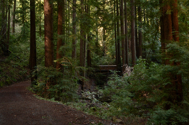
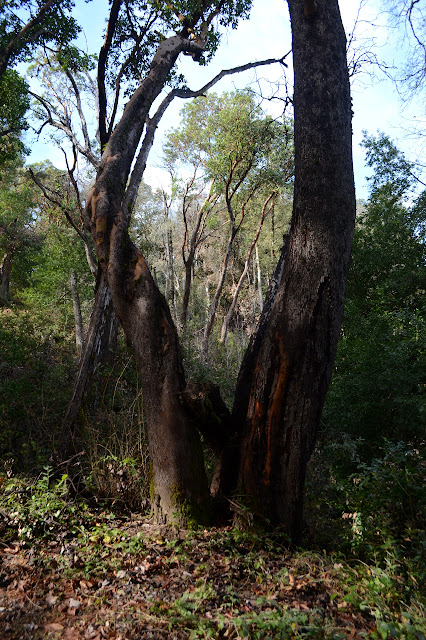
The junction is marked with a little sign with mileages. It suggests I want to go left if I'm going to Madrone Knoll even though both ways are the same length. I want to go to the left because that's the way the "old-growth" is. I'm expecting to pass through a spot where the trees are big and open and it's distinctly different from the other areas. There's not so much of that. There are two to four very large trees depending on how you count them. It's disappointing. Both these doubled trees are rather odd shapes. I try to win back some of the anticipated glee with marveling at the ways these sorts of trees will grow.


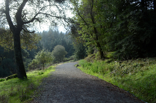
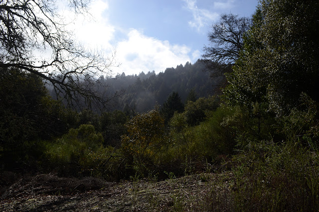
Past the trees is a meadow. Some areas are dominated by chaparral that is somewhat familiar to me. Otherwise it is grassy and oak spattered. Halfway along is some sort of well or spring that has been plumbed on both sides of the road. There is no explanation either by sign or the map.
Then back into the forest. They actually are a little more open than typical of regrown redwoods. Perhaps they were treated as a bit of a garden along the way. The gravel on the road sized trail runs out halfway, making footing require a little more care.

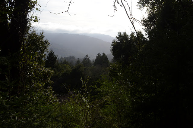
The trails combine for one last push to the top of Madrone Knoll. This part is a pretty constant climb with a pause to cross a driveway we are warned from following. That's not a trail, it says. There's not a lot of view at the top, but there are a couple madrones.

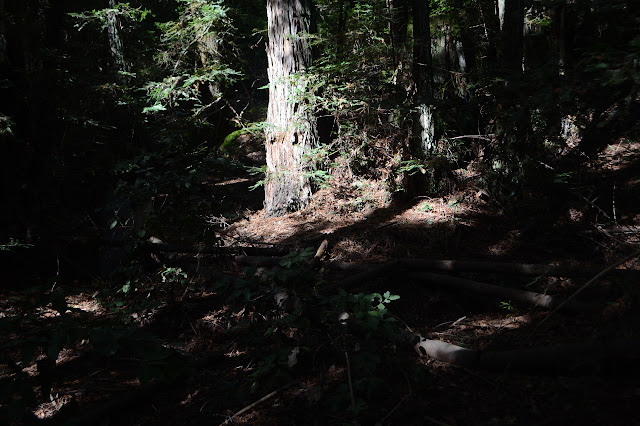
I head down again, noting another wild and large tree. Large enough to predate the cutting the area had? I expect so. Once back at the junction, I head left again. This time I'm following the Redwood Springs Trail. The springs themselves are not marked on the map, though. I expect I should be able to tell? I'm not sure what to think of the warning that trail might not be passable to emergency vehicles. It's not really something I tend to expect anyway.

Just short of where emergency services can once more drive, there's a pile of pipes off the side of the trail. Some of them are so old, they have a lines of rivets along the sides where they were formed from sheets. The springs are probably around here somewhere and could still be piped somewhere.
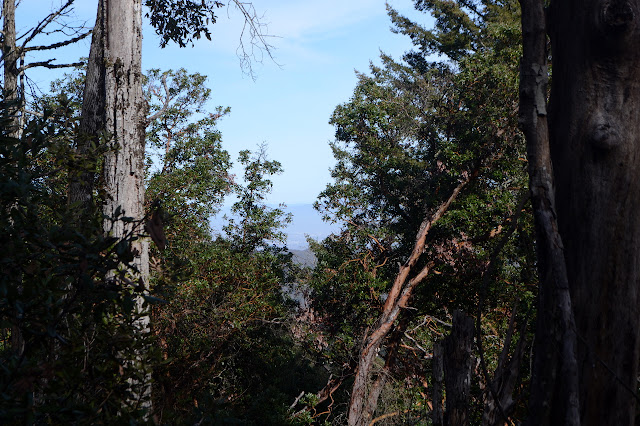
I notice a lot more chances to see out from the trees as I continue the rest of the way down the hill. I'm not sure if this side has more or I just didn't see them as much going up. I suspect a little of both.

There's a lot more in the parking lot as I return, but there is still plenty of space left over for more. The total is still under a dozen.

And now off to find my way back to the top for my planned ridge top drive.
©2020 Valerie Norton
Written 16 Feb 2020
Liked this? Interesting? Click the three bars at the top left for the menu to read more or subscribe!


Comments