Deal Trail
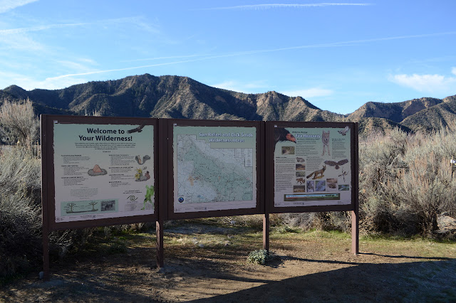
Los Padres National Forest
Click for map.
I come to the gate at Rancho Nuevo to climb a peak, but not today. Today is for another round on Deal Trail, which loops up and around to find its way back to CA-33, then I get to come back down. It's an excellent candidate for dropping a bike off at the top to get back, but I haven't got one anymore, so it will be a road walk to finish.
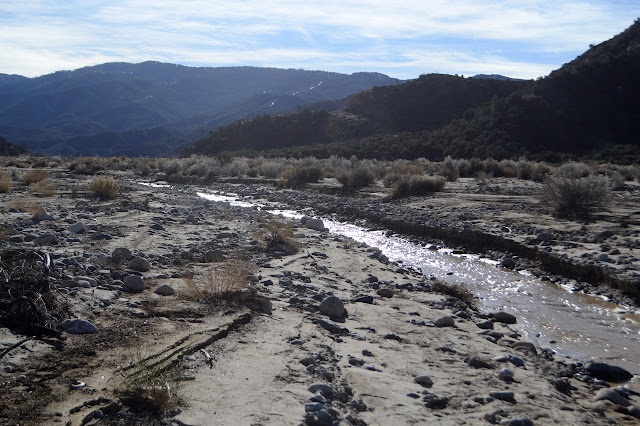
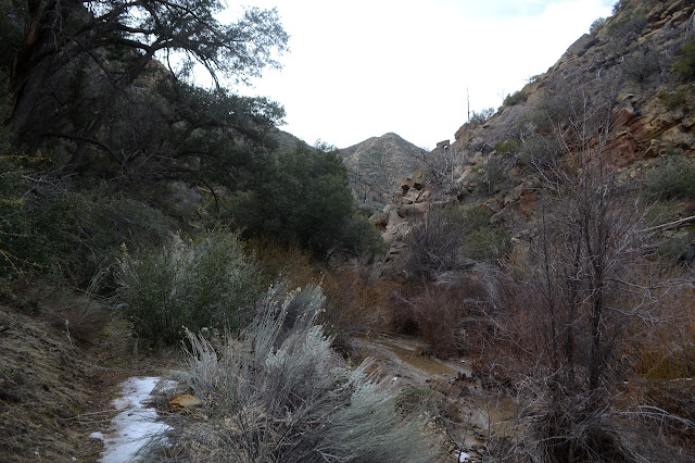
The gate is closed for the winter season, not that it would help me if it weren't. The first thing it does is cross the Cuyama River. Today, this is a series of ever deeper ditches until I finally get to one that holds water. It is more of a big creek today. There is a log to cross it. I'm not a fan, but go for the increasingly ice covered and wobbly bridge. Even with poles for balance, the footing to too much of a mess and I'm starting a cold day with water up to my knee. I would probably be wetter if I walked through, but I wouldn't be shaken by the fall. Rancho Nuevo Creek has water in it, too, but not so much that it is a challenge to cross.

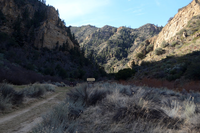
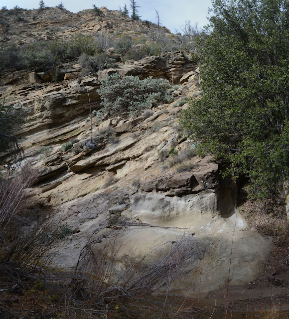
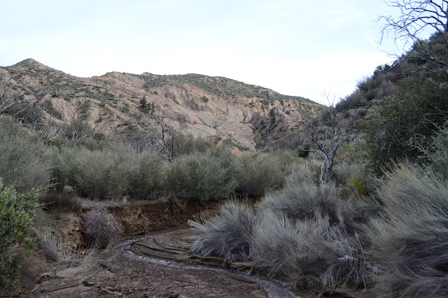
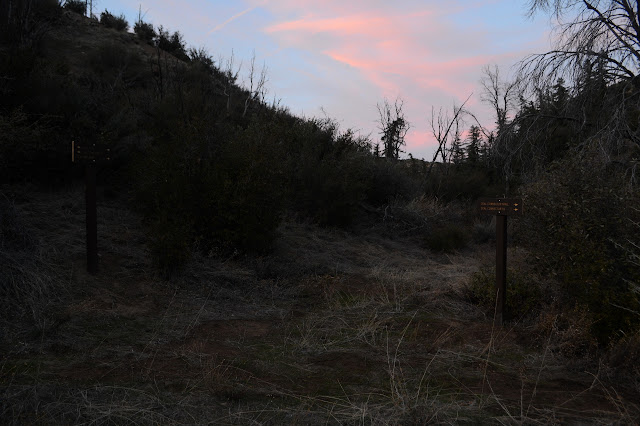
There is a simple campground at the end of the road with three sites and no bathrooms. A lot of people camp just short of the campground where the sun shows up much earlier in the day. The trail starts just past the campground and almost immediately crosses into Dick Smith Wilderness. It is quickly hard to believe there was road here once. It is a vertical land where the rocks are hard enough and as near vertical as it can manage where they are not.


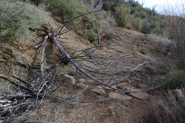
This is actually Rancho Nuevo Trail. As I get to the junction with Deal Trail, I think I'll finally try going up it. This thought lasts about a quarter of a mile when I've already crossed one large blow down tree and am looking at a second. Maybe today is not the day after all.
Those are not the only blow downs. As I continue along Deal Trail, there's quite a lot of small trees and large branches in the way. There are signs that others have simply crossed them, but I think I can move them. With just the right leverage. Most of them, I can, if only barely. It is enough that no one else will have to deal with these while walking the trail.

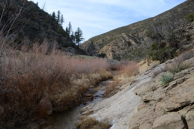
The trail crosses the creek frequently although almost never dwells there. The mud is slick. I like it when it is still frozen. It shows interesting patterns of ice and goop and crunches nicely under my feet. I frequently slip when it is not. Again, poles are not enough as I take a third fall for the day, slamming hard into the fine silt mud. Muddy hat. Muddy trousers. Muddy hands and poles. Oh, and muddy camera. It dries and it falls off. The only real casualty is the lens hood. Somewhere embedded in that mud is the lower half.
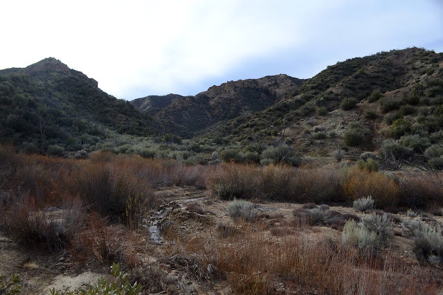
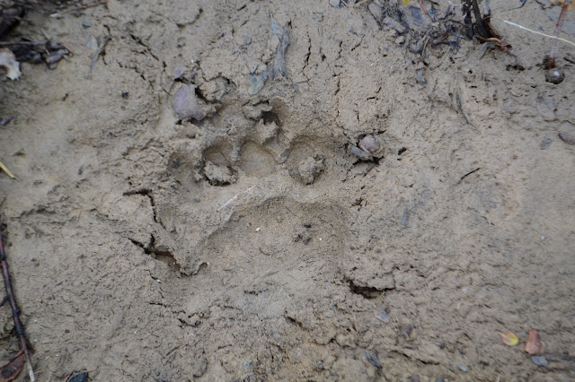
As the trail transitions into wider hills, the only prints I see on the ground are bear. It has had a few slips in the creek side mud, too. I don't think it actually went down, though. Other than some ramblings through the willows that have always been a priority during the yearly trail work, the trail is becoming more distinct.

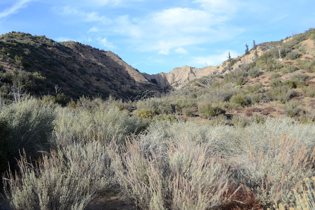
The mildly distinct nature of the trail starts to be a problem in that there are others that compete with it. I'm not always sure where I should be headed and get off the official route a couple times. It makes the creek crossings harder but I still get generally in the right direction. It is unmistakable as it turns for the last climb to get back into the Cuyama River.
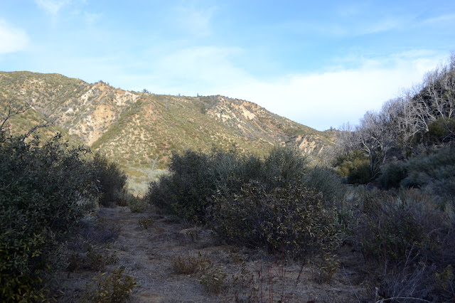


Trail down the other side seems in better repair, but also very much balanced on a shifting hill side. The shadows are getting long and it'll be dark before I reach the highway. I could go by the shorter Deal Connector, but that leaves more road to walk, so I'll stick to Deal.
Sticking to the trail may be a bad choice. I find myself in a narrow canyon with thin trail along sliding slopes. My arms are sore from shifting trees, but in the middle of a particularly high slope is the biggest of the day. It is hard to find a way around, but I can't shift it without it threatening to take me down the slope with it. From the far side, I can get the right leverage. It is tempting to just leave it, but if the next person comes the way I have, they won't be able to shift it either. I give it some pushes and down it plunges. That's satisfying. I can't do anything about the section of trees laid down a little later, but at least those are mostly trunks to climb over instead of a mess of branches.

There is water in the creek, but when the trail gets to crossing it too much, it vanishes. That makes it a lot easier for me, nearly in the dark. I mean, I have a light, but it is so much effort to get it out. This trail is a lot less choked with brush, especially near the road, than I remember. At the road, I do get out my light as I also need to get a little warmer. The ice that melted during the day will soon be reforming. There is very little traffic as I finish the loop.
©2020 Valerie Norton
Written 27 Jan 2020
Liked this? Interesting? Click the three bars at the top left for the menu to read more or subscribe!


Comments