Monte Bello Open Space Preserve
Midpeninsula Regional Open Space
Click for map.
The morning is a little foggy and mostly overcast, bringing a whole new light to the area just across the highway (CA-35) from Skyline Ridge. The sun keeps peeking out, showing it is clearing quickly, but then another thick batch of cloud wells up from the unseen source on the other side of the ridge. Mostly, the clouds are winning. I have selected a short loop along Stevens Creek. The Bay to Ridge Trail that I bumped into yesterday crosses through here for its final climb and happens to follow one side of this loop. There are larger loops possible, including one that passes the only backpacking camp in the MROSD. (A permit is required to camp here plus a fee of $2 per night per person.) The gates on the lot open at sunrise, but there is a little parking outside legal after 6AM if one wants to start a half hour before sunrise when the preserve is open. There are no dogs allowed and bikes and horses are limited to certain trails, especially in the wet season.

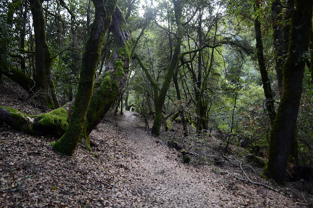
I head out and the view quickly grows out over Stevens Creek. The canyon it has carved in the softened rocks of the San Andreas Fault drops quickly, although not so far. I follow the trail that does likewise as it strives to meet that creek. This is a nature trail with interpretive signs on the preserve considered to have largest wildlife and ecosystem diversity in the MROSD, not that they feature much out of the ordinary.


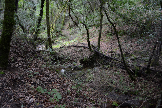
The junctions are well signed and the trail is nice as long as it can get some sun. Once down in the trees, there are some guey mud spots that take a bit of care to navigate without slipping. There's worms all over the trail so the point that I'm probably stepping on a few. There's newts, too, and one almost gets the same before a quick redirect of my foot allows it to scramble to the side and away. I didn't see it until my foot was inches over its head!


The creek grows as I continue down and there are bridges for the crossings. It doesn't seem so necessary, but in a wetter winter is is probably very nice.
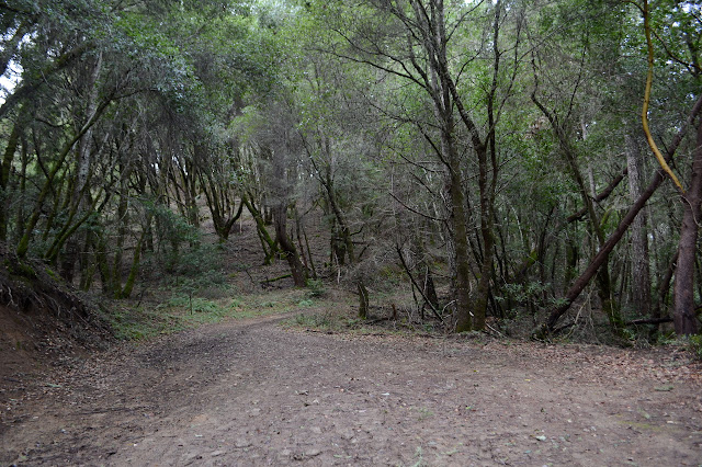
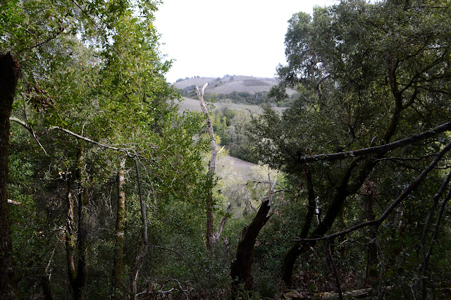
My route back around starts along an old road. It is one of those tree covered north facing slopes. Oaks and laurels and madrones are everywhere. They stand thin and cluster thick all around.
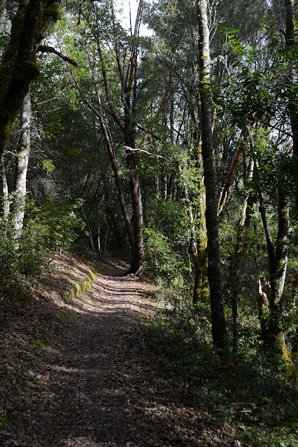
Another junction, and I get to be on narrow trail again. Well, narrower.


The sun and clouds swap places above while the trees and grassy slopes swap places along the trail. I was sure the sun was about ready to win when I started. Clouds can't keep finding new ones forever. At least, in my experience. It is much wetter here than my typical experience.
There's a little bit of car noise as I get high up on the side of the canyon once more. Glancing at the map, it does show this route getting close to the road although most of it easily masks such sounds.


I make my way back. There's now a half dozen or so cars in the lot. It gets a little use, even on a weekday. It is lunch time now. That could be a busier time.
©2020 Valerie Norton
Written 19 Feb 2020
Liked this? Interesting? Click the three bars at the top left for the menu to read more or subscribe!


Comments