Slacker Hill and Hawk Hill among the Batteries of Marin Headlands
Golden Gate National Recreation Area
Click for map.
I had planned to start my day with a little sight seeing at Battery Spencer, but I encountered a one way road going the wrong way. I then encountered a parking lot that I could maneuver my little trailer into without taking up any extra spaces and investigate what was going on with my road. Had I been prepared to start then, I'd have started with my hike and had the good camera for the sunrise, maybe even in what the passing bicyclist felt was the best spot for it. Instead I was scratching my head on a bit of trail, chatting with said bicyclist, and generally thinking I don't really want to drive miles to get a parking spot less than a quarter mile from where I'm already stopped.

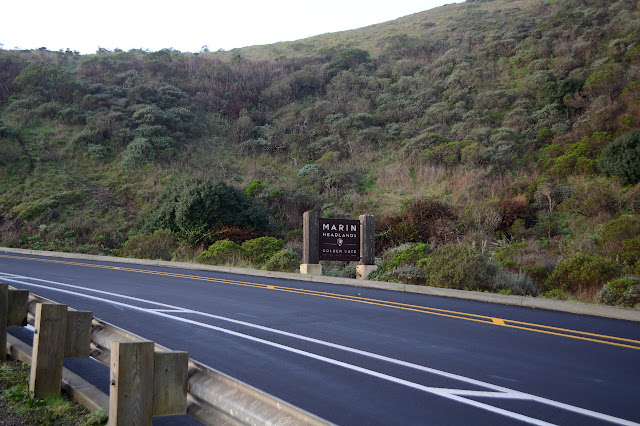
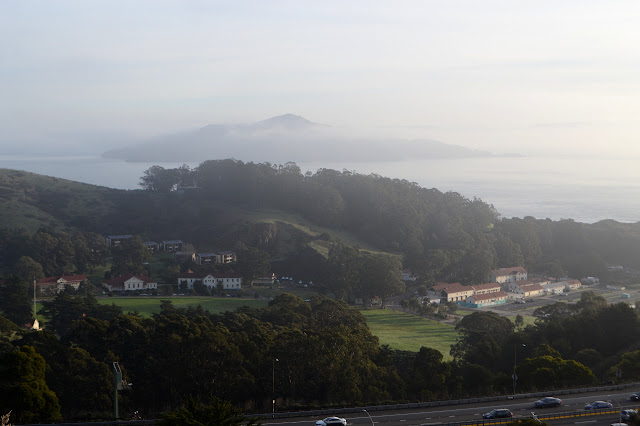
So I packed up properly and thought about the breakfast I hadn't had yet and got moving a bit after the sun completely rose. This means crossing into the Golden Gate National Recreation Area on foot. There is no need to do so if one is feeling cash strapped. Entry is free to nearly all of it including this part. I'm on another big piece of the Bay Area Ridge Trail (BART), at least until I get to the road above and turn toward the battery. The California Coastal Trail, too.

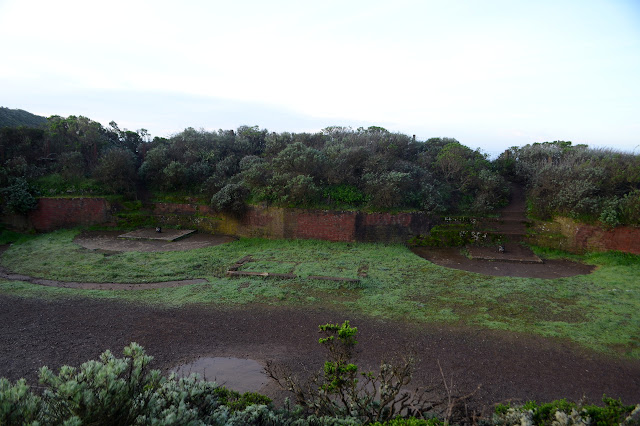
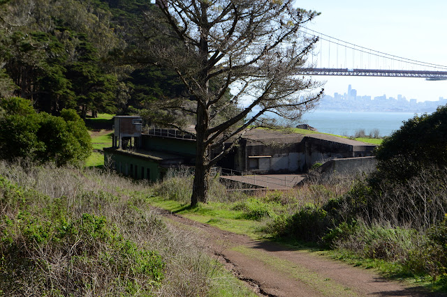
The battery is where they kept the really big guns to protect this major port and the west coast from whatever navy might challenge it. One building has been repurposed to a bathroom, but most are in various states of openness. The only thing left of the guns are the mounts. Some of it is built to vanish into the hillside at a distance, but not everything can do that.
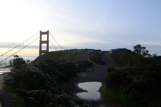
Past the guns is the range for them, otherwise known as the view. For now, it's only occupied by people with fancier and better cared for DSLRs than my poor, abused camera. One is also just getting here although I think they're a little late.


I pay more attention to the buildings as I head away again. One row has a fireplace in each room. The soldiers would have been quartered there.

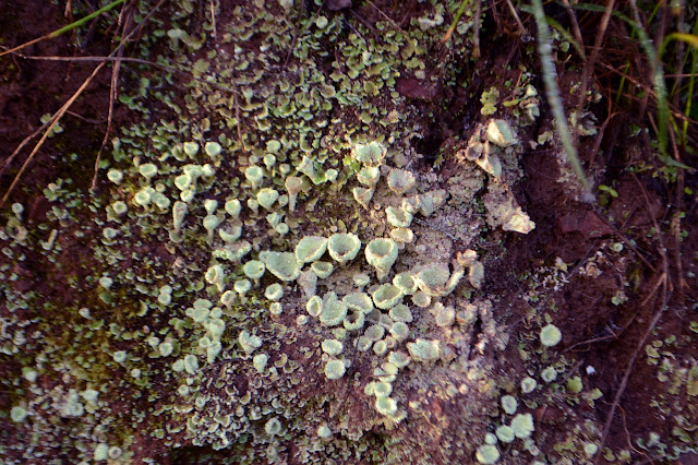
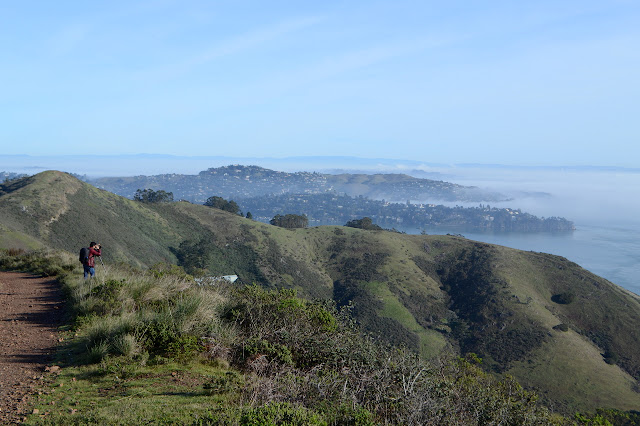
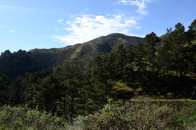
I head back down to BART to head up it just a little bit more. I decided I would at least find my way to the top of Slacker Hill. I thought about dropping down to Kirby Cove, but decided against. The trail passes through a chaparral that looks familiar from a distance, but has odd details up close. It's different varieties of everything. It changes as I curve around the hill away from the ocean to things that live in drier areas. It looks a little more familiar, but closer inspection again shows it to be other varieties.


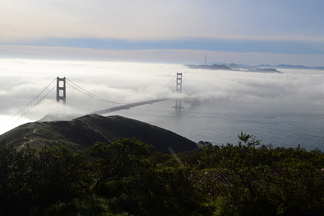
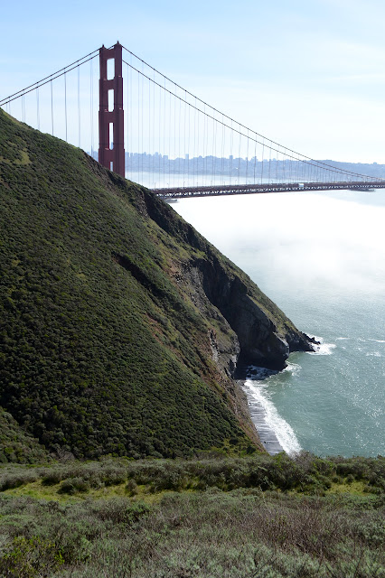
The fog seems to be coming in. As I last see it, the bridge is wearing it around both towers. The trail comes to Slacker Ridge and where CCT goes one way and BART the other. I take the left for the peak. The trail actually drops for a bit before passing a closed area and climbing again. I think this closed area is meant to protect nesting hawks.


Unfortunately, the trail doesn't actually go to the high point. That's also marked as a closed area. Where it does go is large and flat. It might have been the peak once.

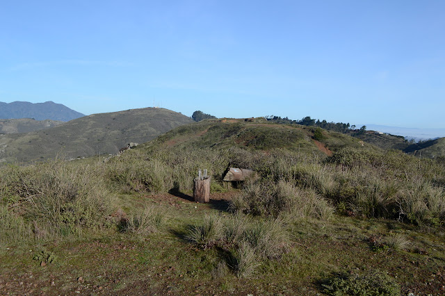
I ponder a large building I can just see through the fog way out on the ocean side and closer to the south coast. A lighthouse on a tiny rock. There's a few wild lighthouses out here. I turn back and, noticing that the trail loops around, decide I might as well head on up to Hawk Hill.

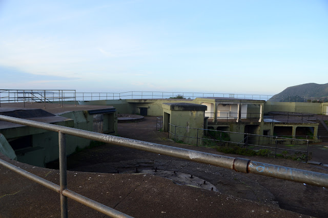
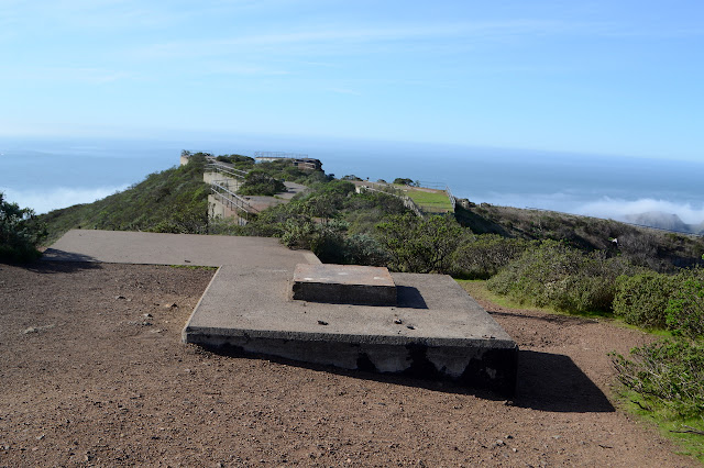
Down to the road, it's two way traffic again with no room for bicycles. There's many of them anyway. I make my way across a traffic circle with no provisions for pedestrians and up a road that is conveniently lined with a foot path to get to Hawk Hill and Battery 129. There are odd structures before getting there. At the top, things get odder with a giant tunnel. A sign above tells of Construction 129 (the map calls it Battery 129) and why it was never finished.


My time at the top of Hawk Hill includes watching a hawk sit up on the wind. It is a cold, but gentle wind.
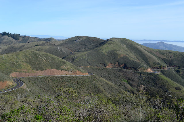

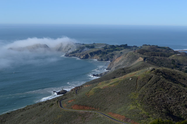
I follow old road down again to the parking area most people are using to visit. I watch a couple cars continue down the road, some pausing as they pass a sign warning of 18% grades ahead. I wind my way down and I think I will hike down to the beach after all. I walk past the gate to get to Kirby Cove below.

Battery Wagner is along the way. Many have cut directly down to and the rangers have set a sign to discourage them. There is a much nicer trail a little further down which I take through the trees instead.

At the bottom is a campground and Battery Kirby. No one is in the campground now. It says the eucalyptus and Monterey pines were planted for shade but doesn't mention how the calla lilies came. They are in bloom.

I head back up again. My water is getting a bit low since I sort of doubled my plan for hiking. The sun has burned off all the fog now so that all the coast and bridge and city and far odd buildings on random rocks can now be seen. It's lovely and only mildly warm.


©2020 Valerie Norton
Written 20 Feb 2020
Liked this? Interesting? Click the three bars at the top left for the menu to read more or subscribe!


Comments