Annie & Mary Trail with Powers Creek Industrial Loop Trail
Blue Lake
(map link)
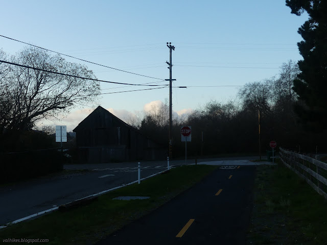
The Annie & Mary Trail is planned to stretch from Blue Lake to Arcata, generally along the old Arcata and Mad River Railroad route. It will form the northernmost 6.8 miles of the Great Redwood Trail, assuming that isn't derailed by Montana coal concerns. The first mile of multiuse trail was completed last year after some 20 years of work. (Getting a trail really is a long haul project.) Although it is paved and through the city, I decided I should go and see it. There is a bit of parking near the southeast end of the trail, but I actually parked way over on the far side of the bridge where quite a bit of parking, generally utilized by fishermen on the Mad River, can be found.
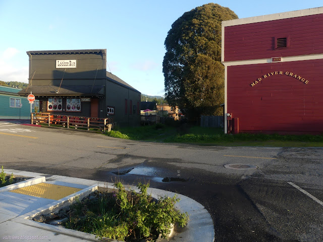
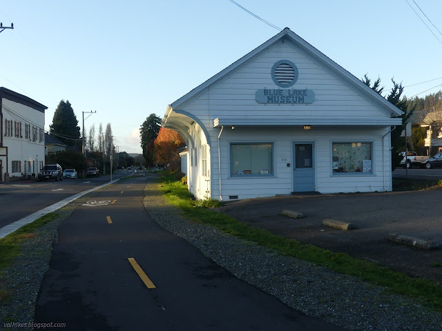
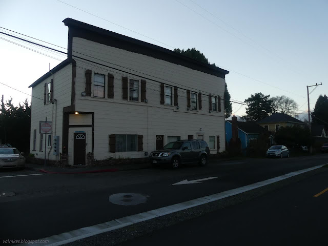
I then headed across the bridge and north, taking the right at the Y to find the start of the trail. This end of the trail is among distinctly historic buildings that I've driven past, but that missed some fun details. Turning to follow the trail, there were more Victorian businesses and homes and I realized I've never really looked at Blue Lake.
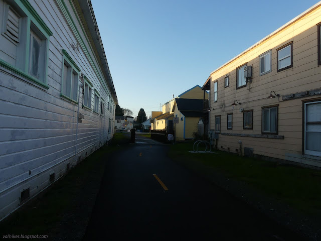
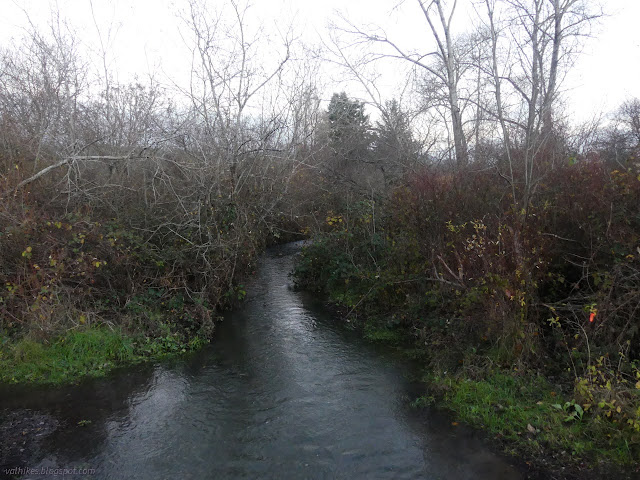
There are both small crests and larger banners to mark the trail, although the banners will not last too many years. Turning to follow the trail, there were more Victorian businesses and homes and I realized I've never really looked at Blue Lake. I had to pause on the bridge over Powers Creek to ponder if it would be a privilege or not to have the office above the creek.
Past the Victorians, there are parks with ball fields and small farms. Half my fellow trail users (of which there weren't many in the already chill evening) were with horses.

Having come to the end of the trail, I turned south to find a way to the levee. My way was blocked by fencing as I ended up returning a block south of the trail. I wasn't certain about a track past a park with tennis courts which would have been a perfectly fine way to cut down to more trail. Instead, I ended up back at the depot and hotel.
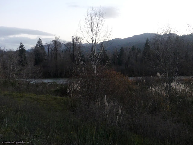
As I came to the sign illustrating the Industrial Loop, I decided to take it in spite of the late hour. Maybe by high summer, it'll finally get into my head that if I leave at 3PM and stop by some geocaching things on the way, the sun won't be very high by the time I get somewhere. The sign is actually on a "spur" off the loop which is not marked as it leaves the main road. It follows the grassy, gravelly, muddy flat between the bits of industry and Powers Creek.

The trail is marked as it crosses a road (Taylor Way) and makes its way up onto the levee.
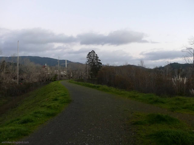
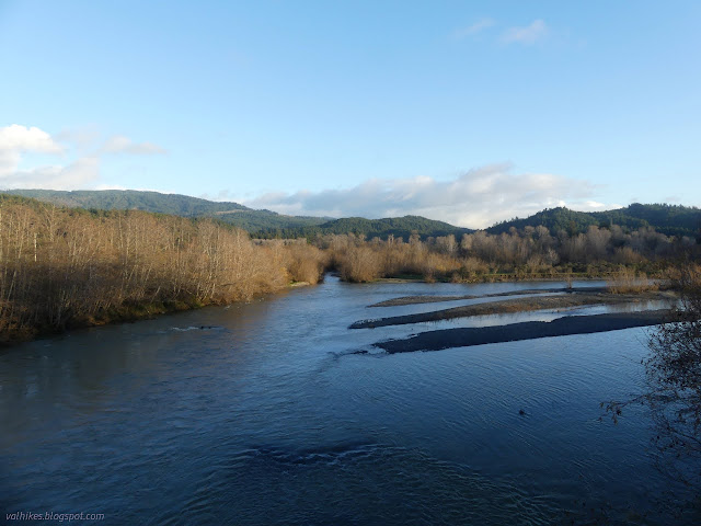
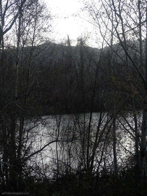
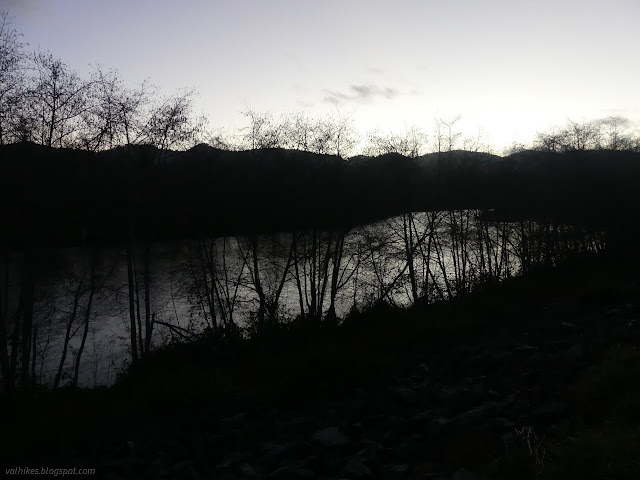
I enjoyed the way the bright sky reflected off the river through the dark trees as I walked along the top of the levee.
Then I wandered back across the bridge with no sidewalks to my parking.

*photo album*
©2021,2022 Valerie Norton
Written 2 Jan 2022
Liked this? Interesting? Click the three bars at the top left for the menu to read more or subscribe!


Comments