Wheeler Peak
Carson National Forest
Click for map.
Listening to the weather man is useless. It seems like the prediction for the day after tomorrow is more accurate for the coming day. I was going to go to the top of New Mexico yesterday and it would have been a beautiful day for it, but I let the worsening prediction made the day before persuade me to wait. Also the huge downpour in the night to add to the general level of water available for recycling was a factor making me uneasy. No more flinching, I'm off to the high point. I want to come down along the Wheeler Peak Trail, so I'm just going to walk the two miles up the road with an early start. That means my pancakes got cooked up the night before, but they're chocolate so they're still good cold. It's already getting a little light as I begin the chug up the good dirt road. In winter it is 4WD only as it has some steep spots, but for summer those spots are just a little washboardy. It's interesting that one stack of informational signs along the way contains one that is space to post the current forest closure order. There is a little bit of view and a few quite unique homes to look at on the way.

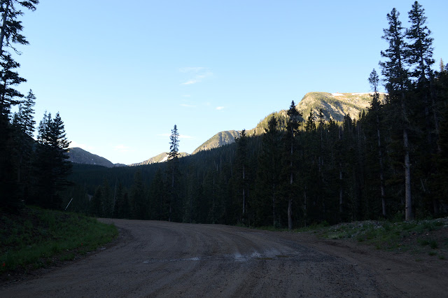
The parking lot is almost exactly as the GPS hits 2 miles. It is well signed and has lots of space, at least at 7AM. Williams Lake Trail signs point down a private road and through a little more of the ski resort. A sign advertises that I can get all my light hiking needs from the store nearby, I just have to wait 3 hours for it to open. At the edge of the resort is one more sign to warn that the Rocky Mountain Youth Corps are thinning the forest adjacent to this trail and I ought to be wary. They're not out yet. Then, finally, forest.


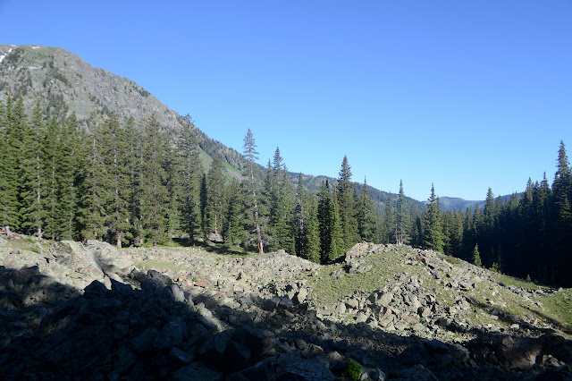
There's soggy spots and tree roots to avoid, but it is still a bit of a chug under the trees. An open spot covered in upheaved rock, probably from some landslide, lets me look out at the peaks surrounding a little, then there is a post to mark the junction. I can't see the lake from here, but I'm sure I'll see it soon enough from above. There is a brief thought of visiting it, but again I'll see it plenty from above, surely.


The trail has been doing a pretty solid climb, but once the lake is eliminated as a destination, it gets steeper. The trees get smaller and thinner and disappear entirely as I climb. There is still green, lots of it with a bunch of flowers. Gradually the green dims and thins and the rocks start to dominate. Plenty of things are out and about and emitting sharp warning cries. The marmots don't seem too terribly bold, but I have to add pika to the list of critters who have tried to eat my shoes while I am wearing them. It makes an attempt at the metal of my pole, too.


Just before the trail reaches the saddle at the top, it splits due to shortcutters. They were good up until that moment! Then at the ridge there's quite a lot of new view and not much of that ridge to walk to the top. The trail actually goes around the back of the peak and connects with one down into that new view, but the major bit of foot churned dirt goes right up along the edge of the ridge.
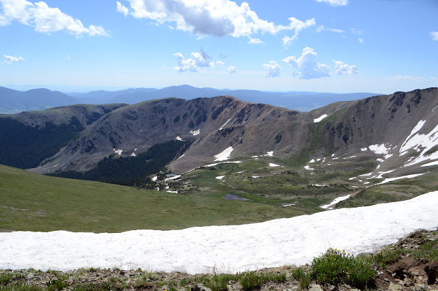

And that's all it takes to finally get my second state high point. My benchmark search isn't long. The reference has been adjusted to sit up high on the edge of a shelter and the station is reported to be underneath those rocks. A plaque on a bunch of rocks cemented together tells me about the surveyor Major George Montague Wheeler (1832-1909) wandering seven southwestern states collecting information. It has a cannon like register mounted in the middle and it too is wandering around loose at the top. Somehow. The thing is chunky. I expect this is the Wheeler that it turns out Wheeler Gorge in Ventura is not named for. The maps of the time do say War Department on them, so it stands to reason that he's got a rank.
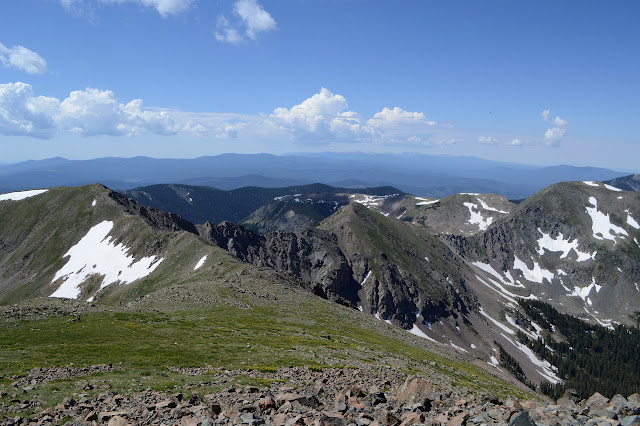

I keep toying with the idea of continuing around the ridge, which people sometimes do. It would make the road walk superfluous. The first bits of the ridge are putting me off, though. It looks a little on the tough side. I think I'll stick with the plan and keep to the perfectly nice hill walk of a ridge down.

I do think I will take the spur out to Old Mike and then catch Simpson on the way back. I expect it to be about a half mile between each. Of course, there are ever more after that: Red Dome, Taos Cone, Taos Peak lining the edge of the forest and the wilderness. All that would make it a bit of a far walk. Old Mike will be enough. I start down the ridge to connect with the trail that was passing behind the peak. There is a little bit of trail on the ridge, but it is surprisingly faint considering how many come up to Wheeler. The trail below is quite well defined.


The trail fades a little as I go, but is quite solid around the side of Simpson and up Old Mike. An old trail cut passes to the back of the peak with a strangely illegible sign stuck on it. It seems a little faded and a lot blurry. That would be the Blue Lake portion of what was once the Twining Blue Lake Trail. Upward for me, whatever it is the sign says. The top has a benchmark showing a corner between three sets of initials. WPW could be Wheeler Peak Wilderness. Peakbagger says this is the high point of an Indian reservation, rank 1. So that's what's on the other side of the ridge. Or at least one of what is.


Old Mike seems to be gathering up his clouds so it is probably time to leave. They keep telling me about monsoon season, but we just say the mountain makes its own weather and that certainly is what it seems like now. The general flow of people dots over on Wheeler is away although some are still coming up. I think one pair came off the harder ridge as they make their way along the trail around the peak. I still want to stop at the top of Simpson Peak. How else would I learn it is named in memory of Charles Emerson Simpson, a forest ranger who died in WWI?

Then it's a nice, easy trail around the side of Wheeler Peak and up onto Mount Walter, named for H. D. Walter "who loved these mountains." There should be an azimuth on Walter, but I can't see it. It has been reported missing. I can find Horseshoe Lake, which has been hidden by a small ridge so far. That is where the trail through the valley goes. Meanwhile, there are some rumbles, but rain is still on the other side of Old Mike and this treeless ridge won't last forever. I could get down to trees faster back the way I came, but I don't feel like flinching today.


I start down again. After a short way, I can see the trail zig-zagging down the side of a hill before passing below La Cal Basin and then climbing again on the other side to get over Frazer Mountain. I think I've figured out which that should be, anyway. It is an exposed route, but less exposed than it could be. And I'm figuring the storm will hit as I'm down in the valley with the trees then clear again for the climb onto the ridge again. I'm not the only one out here. As I'm taking my turns, I can see another coming down the trail after me.

The rumbles stay distant and few, but there is some rain as I get among some wind tortured trees. It is just hard enough to make me stop and pull out the poncho before quitting. I needed to stop to get out some food anyway. Then put back the poncho because it's too warm still to be wearing that thing without cause. The trail keeps dropping long after it seems unreasonable just to cross the basin, down into some tall trees. I start to expect a junction. The map shows nothing, but just across the creek is a ribbon marking trail, then a sign pointing the way to Bull-of-the-Woods. That probably drops down to Middle Fork Lake and I finally start to climb back to ridge line.
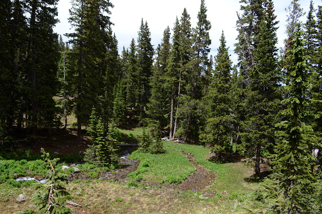


There seemed to be trail climbing Frazer Mountain directly, but I decided to stick to the main trail going up a little less steeply. I expect equal trail coming off it on the other side, which is just a quick stroll from the trail, but there is nothing. I pass a weather blasted wilderness sign turning smooth, then turn and make my own way up. Whoever this one is dedicated to, the sign has been reduced to an iron post.


Frazer is nice enough, but I get going quickly. There are some more grassy hills to traverse. I note the remote automated weather station below the trail, off the ridge where maybe the wind readings should be more representative of the area. As I wind along the green hills, there is suddenly one that stands out. That will be Bull-of-the-Woods, looking bald from mining. I was thinking it was tree covered from looking out at it from the other side. There's a little bit of road up it, so it's easy to grab one more peak. That makes six named peaks for the day. That's quite a lot.


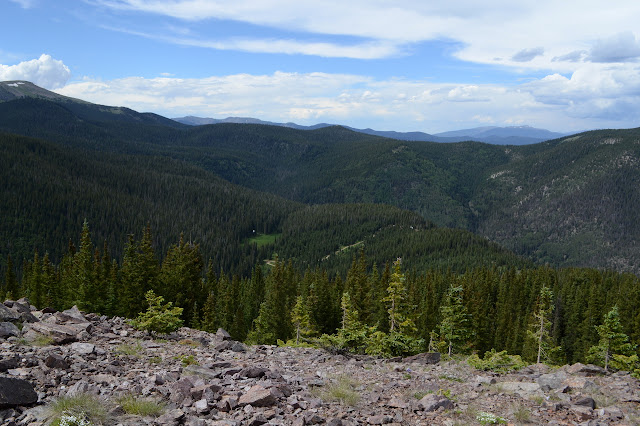
It's just a little way back along road to get back to where I turned off for the Gold Hill Trail. After that, it is all the same but in reverse. Well, this time it starts raining near the junction with Long Canyon. It's actually hard enough to test the poncho. Finally! How long have I been carrying this thing now? Much of it expecting it could rain. About 1.5 miles in rain, harder rain, hail, listening to thunder directly overhead with that lovely crackle going, down that steep trail I came up before. Carefully. It is still raining softly as I come out on the dirt road, but it is also sunny. Rainbow! It should be somewhere behind me. It's a double.

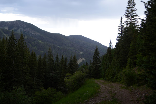

And the poncho... has left my shoulders moist. When I think about it, it seems like a familiar sensation. So it goes. I'm also pretty soggy down below the knee, but it doesn't exactly cover that bit which keeps sticking itself out into the rain with each step.
©2019 Valerie Norton
Written 31 Jul 2019
Liked this? Interesting? Click the three bars at the top left for the menu to read more or subscribe!


Comments