Neff Mountain
Rio Grande National Forest
Click for map.
Neff Mountain sits with a cliff face to the west and I decided to climb it. The high point is a few feet back of that cliff face and an older geocache is some distance down the other side, so I decided to go and visit both. It looks like a long ramp up around the south edge of the cliff and another route is possible around the north side, so these will be my routes up and down. There are also old logging roads that come up the north side, but nothing I have documents much of them and the cross country routes look quite fine. It is too short to feel the need to resort to a road.
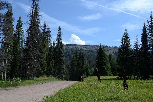
I do have to make my way along the road a short way to start up the south side, but there is plenty of shoulder along the way and turnouts should I have decided to do an out and back along the south route. Just past a small creek, I start to climb upward. It is a late start, so I get to watch the first train through the pass. The narrow gauge coal fired engine is a tower of black smoke as it makes its way upward behind a hill. Mixed with steam as it stops to take on more water at Cumbres Pass, it billows a lighter grey. Once going again, it is slow to get up to speed, then promptly slows down again to wander a big curve that is all part of keeping the grade of the tracks to a minimum. A while behind and even slower powered by its own tiny diesel engine is a little yellow car that rattles a bit as it makes sure the archaic engine doesn't set the forest ablaze.


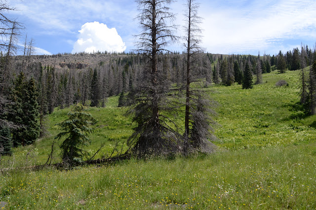


The clouds billow behind the mountain, threatening weather full of rain and electricity, but probably not in the time it will take me to get to the top. Anyway, I have given up trying to figure the weather by looking at it. Yesterday, the entire horizon in this direction billowed like that the entire day without ever once delivering on the promise. If it comes, I'll figure something out.


As my grass ramp upward turns to large flat rocks, there is a mysterious large cairn above me. I make my way to find that there are actually two presiding over quite a view of the east at the end of a distinct trail up to the rather flat top. Down below, there is a long bit of track down either valley and the train is still chugging along.


The top of the trail is marked by a smaller cairn. It continues into the woods, but I quickly lose it. Anyway, there is clear area along the edge to walk. I keep to it until it dips, then try my way through the trees to avoid losing those few feet. They look to have been harassed a bit by the weather. Where they are less dense, they are stunted. A few taller ones tilt and a couple were broken off recently. Surprisingly, there are still patches of snow in some places. Where they clump, they are hard to get through. It would have been easier to just walk a little way down and up again along the clear edge. This sounds like a familiar lesson. Once in the clear again, I keep on the gentle up until it finally stops at the top.


Short it may be compared to the surrounding landscape, but it still has a grand view even compared to halfway up. Well, at least it does for the west from the reservoir to the north to the highway a little past the train station at the south end.


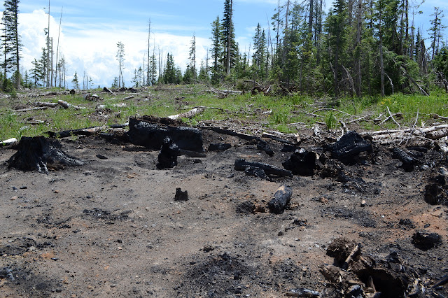
The geocache I was going after is a little bit further from the top than I'd hoped. It's actually still 0.6 miles off, so I turn to plunge trough the trees. It doesn't last long. The loggers have been up here taking out the dead ones. I'd seen a little evidence of them in my first plunge into the trees, but now I am crossing where they have been working. It is a right royal mess of broken up tree bits. Some of the unwanted trees are piled in slash heaps and the alien landing spots of old slash heaps already burned show the work has taken a while. One hopes this makes a crown fire running through the living and the dead less likely, but there are a few that have toppled over without their wind breaks.
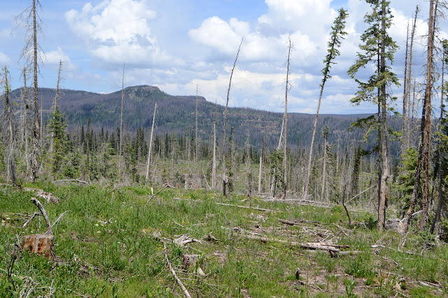

The reward for making my way across the top of the mountain, over plenty of sticks trying to trip me, is a view that is very like the one from the cairns to the south of the mountain. I guess I can see a little more north and now I know of more cliff areas around the plateau. And the geocache, but there are lots of those to be had.

Having crossed a lot of logging roads, my chances of getting down along one of them easily seems to have increased, but I don't really want to. I was plotting out a route while standing a the top and I want it much more than some logging roads. I make my way back up over all the broken everything to once more stand at the top.

Back at the top, there seems to be a bit more trail to the north. It did look like the shorter way, but I'm not sure if it is elk trail or human. I expect elk established it even if a human uses it once in a great while. I follow the second opportunity to cut down through the shortening cliff along a collapsed spot because it looks the most popular among the elk. There are steep spots, but it makes a rather stable way down to the grass ramps below. From there, trail continues to be well established down through trees and grass ramps.


The lower I go, the more trails follow contours instead of dropping, so I leave one only to find another well established trail. There were only a few weak trails on the south side climb. I follow the ones that seem to get me down, abandoning them when they wander sideways instead. Avoiding suspected wet spots sometimes puts me on steep hills, but nothing too steep to walk.

The promise of rain is getting close as I find myself just above the road. It is dirt this time and although there is no shoulder, there are no worries to walking it. I hurry along the road to get some shelter before the rain becomes heavy.
©2019 Valerie Norton
Written 26 Aug 2019
Liked this? Interesting? Click the three bars at the top left for the menu to read more or subscribe!


Comments