Winsor Trail NRT
Santa Fe National Forest
Click for map.
Since I'm waiting for a window for my trailer, I've got time to try something else out. (Oh, I broke a window on my trailer while leaving Quemado Lake. Somehow in the last little mile of dirt road for a bit, I managed to throw a rock hard enough to smash it. I don't even have power on my back wheels! No one else was around, so there is only me to blame.) The something I'm going to try is the bus for a point to point trek on Windsor Trail. The bus is $5 to ride up the mountain, but free to ride down. It doesn't start down until 10:15AM, so that sort of necessitates a late start. It only runs twice on weekdays and three times on weekends, but that first one is even later on weekends. The bus only has seats on one side as the other is given over to bike rack space. At least a few bicyclists have figured out that it's a rather cheap ride to the top and easy to arrange. I was the only one on the bus although he says he usually ends up picking up a few backpackers since this hooks up with the trains at the other end. He clocked the distance down to the Chamisa Trailhead at 9 miles to give me an estimate of how far I'll hike back up. There's also 3000 feet net gain. This is the lowest point on the trail I can connect with this single bus, but there are several shorter options.

Chamisa Trailhead comes with a map that warns, "Travel time may be slower than expected due to altitude, steep and difficult terrain, and beautiful scenery." I pick the main route that climbs and wiggles, quickly getting slightly waylaid by a bearing tree that has half eaten its marker. It looks like it might be along a lightning scar that has nearly healed over. The marker is 71.5 somethings away approximately NNE, but my ability to measure somethings is low. Feet, yards, chains, links, they seem to like it all. I think I even saw rods once. If my memory from 5th grade is correct, a rod is 4.5 feet. What kind of unit is that? Sometimes they'll even go metric. When I see hands, I'll know they're just pulling my 66 foot chain.

So I continue upward letting it go. I know of no nearby place there might be a corner whatever the bearing tree almost says. Scenery opens up, but there are quite a few trees to look through. They are more sparse down here where it is drier.

After some wiggling, the main trail and the shorter alternate that follows the bottom of the canyon meet up next to a junction with signs, a smaller map, and view. Well, not much of a view. A geocache promises a better view if I go along the ridge and then take a use trail just a little bit further.


Back along the rolling ridge and then back onto Chamisa Trail to finish the link to Winsor. It plunges down into a little canyon, first next to the stream bed, then giving up and sharing space with the stream bed. Happily, it is dry right now. As the canyon widens again, the trail finds its own space again.


Then it gets much wider and meets up with Winsor Trail. I haven't even managed to read the sign before a pair of bicyclist zip past at what feels like a reckless speed. The sign says 3.5 miles to Teseque. I assume that is the lower trailhead because I can hear the Teseque Creek just past some brush. Just 6.25 miles up to the ski basin. They are using "Forest Service miles" of course. This is a unit that can vary wildly, but tends to be a bit longer than an actual mile. At the extreme, there are examples of a half mile actually being 1.5 miles. In this case, I estimate the distance to be minimally 7 miles. I turn and walk the short way to a meadow, stepping off the trail to sit on a big rock just in time for two more bicycles to zip past. Three, five, seven pass by as I have a little lunch. Good grief they like to bomb this trail. Maybe that was the bus load. Probably not. Plenty have a friend willing to take them up.

Then onward and upward. The only bicycles that don't feel like they are going at a reckless pace are the pair trying to reinflate a fat tire with a very short pump. Still, I have to admit there is not a steady stream of hikers moaning injured at the side of the trail even though there are hikers, sometimes even going downhill with the bikes so they can't see them coming. They're braver than I am, but my knees are happier. Uphill is work, downhill hurts.


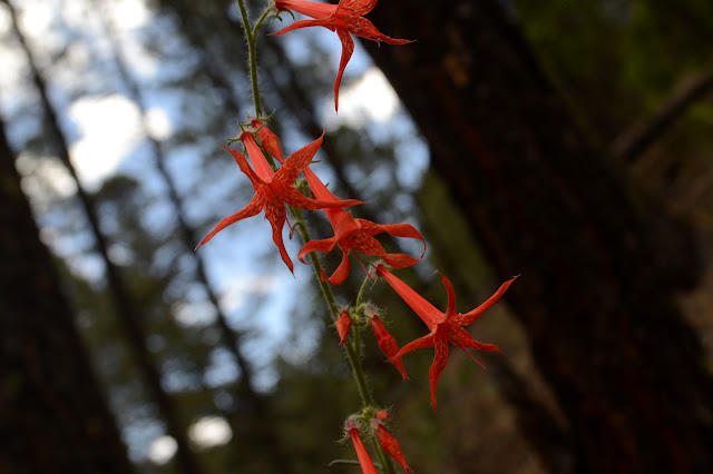
Bear Wallow Trail joins, well signed. This is the bottom edge of a popular triangle with Borrego Trail. I don't know it's popular, but the increase in traffic makes it obvious. Both bikers and hikers are on the increase.

I take a short trip up Bear Wallow (for a geocache) then back to climbing. There's quite a bit of canyon to view for just a short jaunt upward.

The junction with Borrego Trail comes with the only bicyclist putting in the work and going uphill. He asks how far to Big Teseque. Not that he hasn't done it many times, he just can't remember how far it is to figure out if he wants to go on to it. Since I've got him chatting, I ask him what is so much more awful about ebikes vs. bombing the trail. There are "no ebikes" signs at each trailhead for something maintained by the local Fat Tire Society. He just expresses a strong sentiment against ebikes and knows some guys much better at mountain biking than him who ride the bus up to bomb the trail. States that it is a prevailing attitude among the pedlers. No actual substantive argument against ebikes. I expect a lot of them will age out of it. Not all of them. There were some grey heads going around the triangle on wheels.

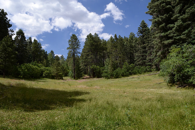
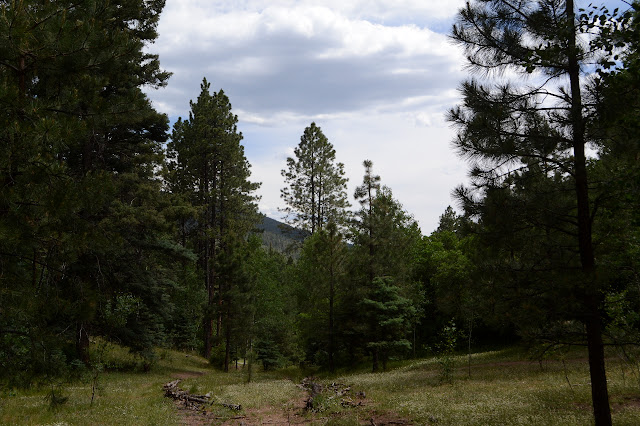

There are bits where it is clear this was an old road once. Guessing from the sign at the wilderness boundary, it would have been at least a wagon road. Things get mildly confusing as the road goes up and over a ridge into a bit marked as inholding on my map. A ribbon on a tiny trail to the side goes around the local bump along the ridge to the right like my map indicates, but quite a major trail goes around to the left through a corner. My guess is the property owner decided this corner was sacred and the Forest Service decided it wouldn't take much to oblige and move the trail. I go to the top of the ridge to see the view (none) and then follow the narrower trail. After all, it isn't anything to me to oblige also. As the trails come back to meet again, there is a somewhat new corner monument surrounded by old carved bearing trees. Yep, fussy landowner.

The junction with Big Teseque comes soon after. This section of trail had hardly any people on it compared to the lower sections. I keep going upward and it is starting to feel high. One bad thing about that is that there are starting to be tent caterpillars in the aspens again. They were missing below. But the good is there is more view in the spaces between the trees.


Forest Road 102 comes with a great deal of warning, stop signs, and big signs with mileages. Just 2 miles left to the ski basin. If you're a crow. If not, you'll have to go the extra half mile it claims to the wilderness boundary. Above, the trail used to wind upward in short switchbacks but has been rerouted into a single long run that climbs so slowly and with frequent rolls that I'm not even sure I'm going up. Somehow as it comes back, it is higher than the section below. Further up, a similar group of wiggles have been given a second route. At the bottom, a sign points "uphill traffic" onto the new route while at the top a sign points to the old route as "technical" and the new route as "Winsor Trail". In the middle of it all is the fence for the cattle range. Those bicyclist put in a rolling grate for themselves but forgot to add a ranch gate for any horses that might come along. They better know to take the "technical route" no matter what direction they are going.


Upward some more means hitting the fence again and one more rolling grate. They used to have a wooden grate at one of these and a wooden rolling grate at another, but both have been replaced without being fully removed. I guess the one is susceptible to getting filled in and the other looks like it was breaking already. The metal ones are bending in spots, but I can't figure out why the last one is fenced forcing the bicycles to fiddle with a ranch gate. I'm sure they hate the things even more than I do.
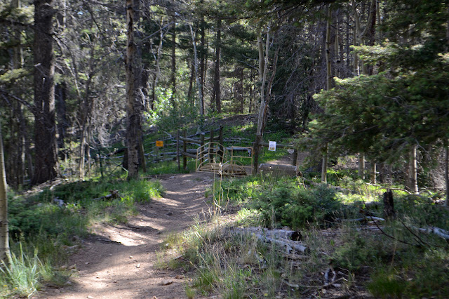
I sort of thought that when passing below the "Vista Grande Overlook" there might be a grand view, but no such luck. Just trees until the brief touch of the road next to the Norski Cross-country Ski Track, which is a trail in summer. There is no sign on the continuation. It looks like the post had an accident with a car. Then the trail plunges back down, and downhill, before climbing past a junction and that blocked rolling grate and the top. Well, the "top" for today for me.

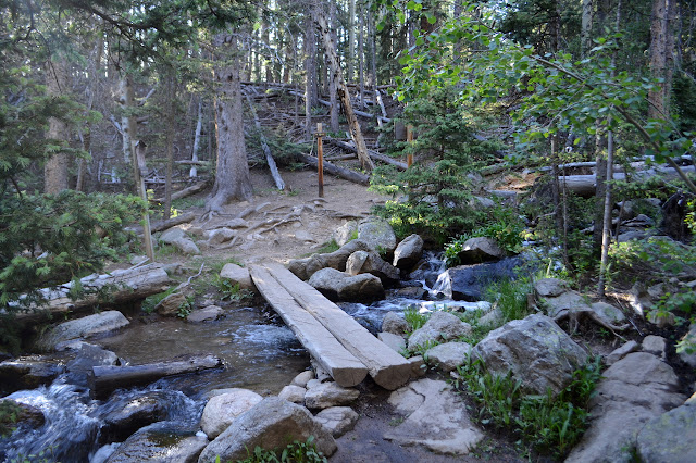
The only folks on that bit of trail were a couple campers hoping there were more camp sites on the far side of the creek. There aren't. Well, unless you count those sort of camp sites on either side of the fence along the power line road I found on the last hike. Those weren't very good sites. A rather different sort of hike. Definitely a good workout and I did find something to look at even if the views tended to be tree covered.
©2019 Valerie Norton
Written 21 Jul 2019
Liked this? Interesting? Click the three bars at the top left for the menu to read more or subscribe!


Comments