Posts

Showing posts from October, 2009

sketches

Image
Sketches for the month. The tree up on Echo Mountain . Looking over the Salton Sea while in Joshua Tree.

Cottonwood Spring

Image
Joshua Tree National Park Locate the trailhead. Finally, we stopped for another hike of not too great length. This loop started at Cottonwood Spring and wound around to Mastodon Mine by way of Mastodon Peak. We didn't quite see the mastodon in the peak, but we saw many other shapes in the rocks. This hike wasn't quite so hot as the one in the morning but is at a higher elevation. We headed out into the desert by way of Cottonwood spring. This is a spring with quite prominent, non-palm trees.

Cholla Cactus Garden

Image
Joshua Tree National Park Locate the trailhead. Along the road as the deserts change and the frequency of particular cacti changes, there is a little educational loop through a dense patch of cholla cactus. It turned out these were the delightfully wicked narrow spiny things I'd spotted at that first stop and thought were interesting enough to photograph with the Joshua trees. They didn't look very healthy at that first stop. A few at the second stop looked a little better. In the "garden", they looked very happy and healthy. The cholla cacti were very dense on the patch of land designated as the garden.

49 Palms Oasis

Image
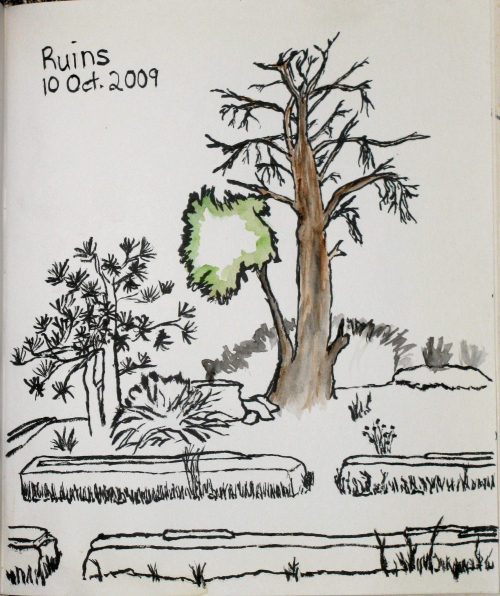
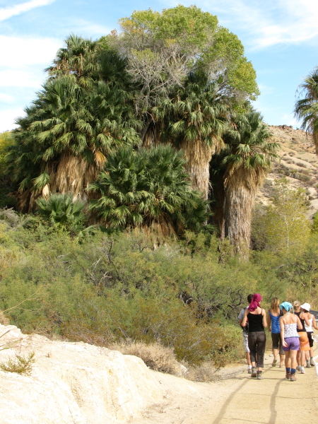
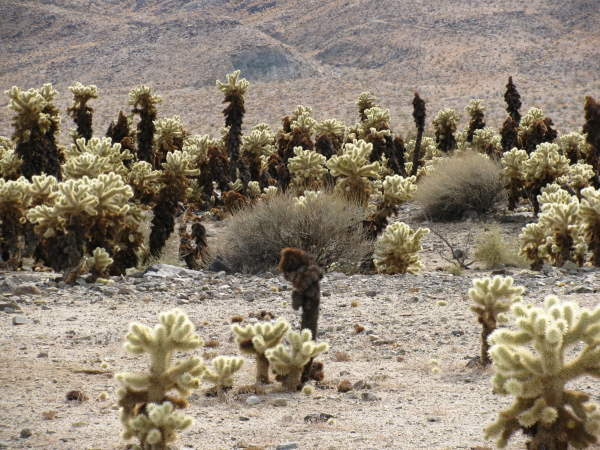
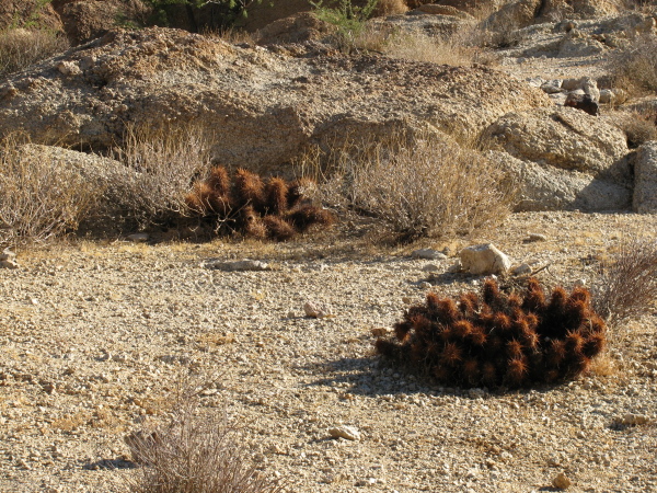
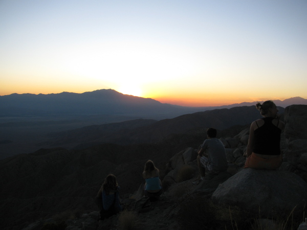
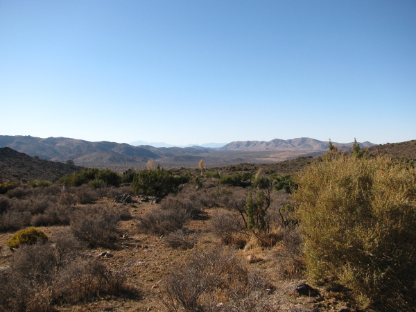
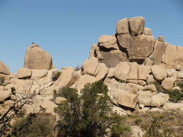
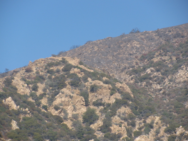
Joshua Tree National Park Locate the trailhead. For a morning hike, we went out to see an oasis full of actual desert oasis palm trees. I suppose someone counted them at one point, or at least the ones over a certain size, and found 49 to give the name. We started out maybe a little late, I think it was about 10AM already. It was hot! Hot, I tell you! So hot, the plants aren't green. Some cacti in the sun. I guess these little ones like to have neighbors, or maybe just lots of arms.

Keys Viewpoint

Image
Joshua Tree National Park Locate the trailhead. After our hike, we went to Keys view, a popular spot for watching the sunset. This is just an overlook, there is no hike up. Out to the southeast, the Salton Sea is clearly visible. Some of our crew watching the sunset.

Lost Horse Mine

Image
Joshua Tree National Park Locate the trailhead. After lunch, we rattled down the single lane dirt track to the Lost Horse Mine trailhead past the gate that closes at sunset. The trail winds upward along an old dirt track to the mine in about two miles and continues around in a somewhat longer loop if desired. Signs indicated a fire had been through the year before although we didn't see any natural signs of recent burn. Looking out over the desert to the distant mountains near the start of the trail.

Hidden Valley

Image
Joshua Tree National Park Locate the trailhead. Hidden valley once served as a natural corral, according to the signs. The rocks completely surrounded the area and dynamite was used originally to open up a route to the inside. Now it is absolutely crawling with rock climbers. The inside serves as a nature trail with many informative signs telling much basic information about the flora and fauna of the area. There was even some information here and there about today's most prevalent fauna, the weekend rock climber.

Joshua Tree National Park

Image
A crew of folk, mostly international students, were going off to Joshua Tree to look about the place and I managed to go along with them. Once there, we quickly found a Joshua Tree to marvel at. Also some other plant life. A very large specimen of Joshua tree, which is some sort of yucca and not a tree at all.

Inspiration Point

Image
Angeles National Forest Locate the trailhead. On the first of October, they opened up a few unburned areas in the southern section of the Angeles National Forest. One section is the piece right behind me at the top of Lake. The trail itself isn't actually in the forest until some time just before Echo Mountain but there is no sign so it's difficult to tell exactly. I decided to hike up by Castle Canyon again. The fire road behind the pavilion at Inspiration Point marked the boundary of the open area and, in that immediate area, the burn. After climbing up, I would explore a little by going down the fire road and then taking one of the other trails back down to Echo Mountain. On the way up, very little burn could be seen. There was a small spot of something that had peeked over the edge of the ridge. The further mountains could be grey with ash or grey with distance. Going up Castle Canyon, I found the bay I had gathered leaves from last year are still quite s

Sawmill Mountain area

Image
Angeles National Forest Locate the trailhead. With half the southern section of the Angeles Forest burned and all of it closed, it seemed a good time to go exploring in the smaller northern section of the forest. Although small sections of the southern section were opened up just before this, I kept to the plan and found something on the desert side of the mountains. The instructions in Afoot and Afield in Los Angeles County were a little off, so trying to find a small campground off a short dirt road didn't work on the first try. The road to Upper Shake, which the loop goes through, was very shortly after and I was expecting the lower campground to be around it but didn't see anything promising. Turns out the road doesn't like signs, except the one at the bottom. Promising turn offs were unsigned and sometimes locked. The only signs were the occasional "not maintained for low clearance vehicles" which sometimes marked a section on one side and not th

follow by email