Posts

Showing posts from November, 2014

sketches

Image
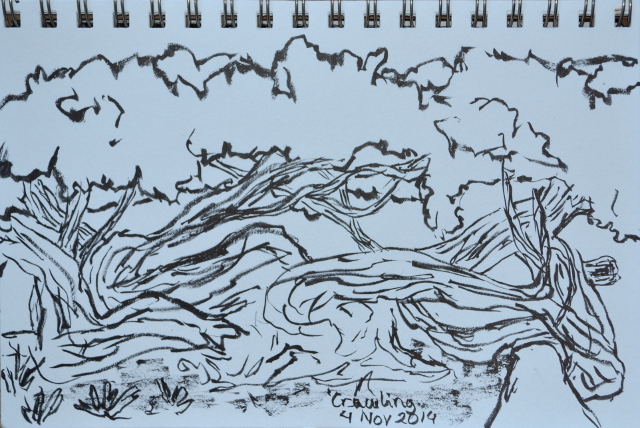
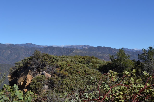
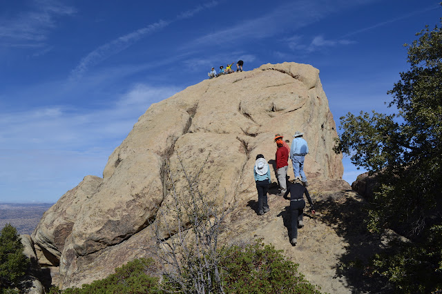
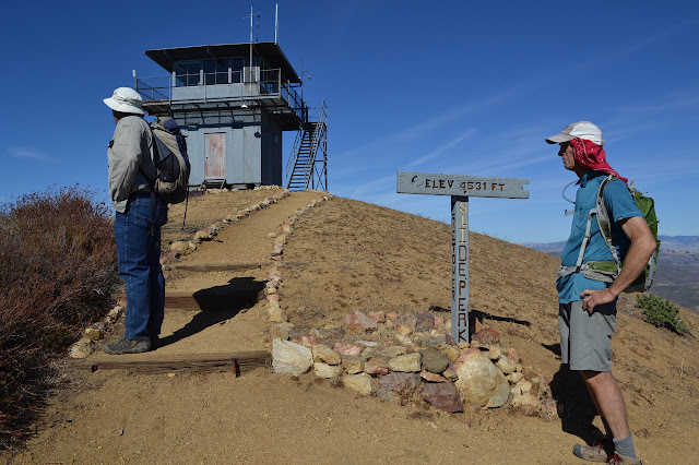
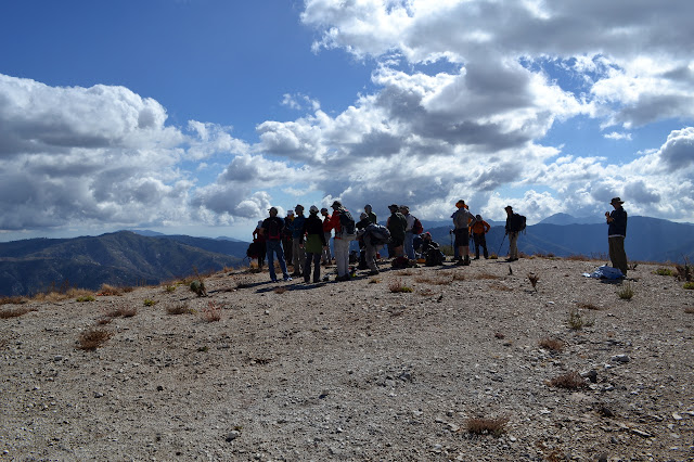
This month saw a few more visiting parks in downtown, then some getting out to see more of the world.  Well, into the next county anyway. A twisted bunch of a tree in the corner of Alice Keck Park Memorial Gardens. Another view of the courthouse I spent too much time in. A little bit south, or at least "city south", is the Persidio, which is a State Park even if it is deep in the city. A rather nice flowering tree currently in flower at Alice Keck Park Memorial Gardens. The HPS group took a long rest to enjoy their peak once they got there, almost giving me enough time to sketch. Taking an overnight on Camino Cielo gave me plenty of time to sketch after putting in an hour on the lengthening. Back in a park, this time the county's, taking in the mountains from More Mesa.

Ocean View: Camino Cielo

Image
Los Padres National Forest Ventura River Preserve (map link) The rain stopped sometime very early in the morning and everything is already dry by dawn. The usual post rain wind storm pulled a stake buried in soft ground, making things a little less bomb proof. A fine dust coats everything. Once things start becoming pink, the sun is quick to the ridge line campsite. And once everything is tucked away, it is time to see if this trail really just keeps on going. Sun rising over the edge of the ridge. The trail is variously cut wide and narrow. The section just after table 4 is narrow and branches encroach a bit. The mountains rise faster than the grade and the old road is pushed out onto the side again leading to a change in the mix of vegetation and a more open trail. Table 5 is not much further than table 4, set beside the pedestal with the next benchmark embedded in it. A higher peak starts to rise from the north side of the flat top of the ridge and the trail

Ocean View: Kennedy Ridge

Image
Ventura River Preserve Los Padres National Forest (map link) It has been feeling like time to hit Camino Cielo again. There has been quite a bit more cut and two tables dragged up since I was last along it. It is getting to be quite a long day hike, especially with the short days and the parking lot getting locked at 5PM. I am told that parking can be had along the street when not blocking a gate or driveway, but decided on an overnight instead. The threat of rain, 20% in Ojai which will be a near certainty on the ridge, was giving me pause until I hit upon a simple idea for pitching my rain fly without my tent. The rain is not certain enough to use as a water source, so I need to bring everything I will use. With an email to the preserve manager so the people locking the gate will not be waiting around or calling Search and Rescue for the lone car left in the lot, I am ready to head out. First, the river crossing. There is not much hope that there might be a trickle of

Beartrap Bluff

Image
Los Padres National Forest (map link) I may be getting predictable. Another weekend, another peak (or two or four). Our small band of Santa Barbara people decided to join another planned Hundred Peaks Section hike, this time up a newly listed peak they are calling "Beartrap Bluff". Checking the map, it looks like this one may suffer from the same shortcomings as a number of delisted peaks: it is indistinct. The ridge seems to have a wide top and higher and higher minor bumps dot it above this one. I am not even certain of which spot might be the destination based on the stated height. It is simply something above a massive V in the hillside west of Beartrap Camp. What is interesting to me is to finally travel the north end of the Gene Marshall-Piedra Blanca National Recreation Trail. The large group collects just after 8 AM and we are hiking up an unnamed canyon that drains Raspberry Spring and is full of cold air and a touch of frost soon after. Quickly gai

Slide and Dome Mountains

Image
Angeles National Forest Los Padres National Forest (map link) What is it that makes a hike particularly enjoyable? Perhaps one element is a touch of the unknown. Something reminded me of my desire to finally see Slide Mountain, where I thought rather seriously about volunteering as a fire lookout . Partly because it is rather far away for a regular volunteering gig, I have never actually been up it. Slide Mountain does not offer much in the way of the unknown, though. The trail had become an overgrown mess, but since ANFFLA started using the lookout, they have also been maintaining the trail so a hike up it is . If I was going to do Slide Mountain, though, I also wanted to try to get to Dome Mountain. Dome sits on the county line and has a benchmark and getting there is quite uncertain. I suggested the trip, claiming it was dirt road, trail, and "easy" cross country based on my other cross country experiences in the area, but then walked it back a bit by pointi

Rabbit Peak, Graphite Mountain, Roundtop, and Iron Mountain

Image
San Gabriel Mountains National Monument Angeles National Forest Map link. A couple people from the group who do the Wednesday night Sierra Club conditioning hike decided they would get back into doing Hundred Peaks Section hikes by joining a triple list finish. Like the conditioning hikes and the Friday social hikes, the HPS hikes are open to the general public. It is as good an excuse as any to poke around a part of the forest I have not seen much of and to visit the brand new San Gabriel Mountains National Monument requiring almost no planning on my part, so I joined too. Besides, I seem to be on an effort to tick off these peaks of recent and what better way to do so than on an official HPS trip with three people finishing off their lists while bagging four new peaks? The group gathers slowly in Monte Cristo Campground. The air is almost frosty in the shady bottom of the canyon, but quite pleasant a little higher in the sun. We are already an hour after the start time

follow by email