Posts

Showing posts from June, 2017

HOWTO: download USGS maps

Image
I had an old post for this, but they changed the look about a week later and now they've changed how the whole thing works.  So here is a new one. USGS makes their maps available for free in PDF format.  This collection includes historical maps as well as the current set in various scales.  Once in a while I claim I am wandering up a peak to see if I can find a benchmark that is on a 1905 map.  It isn't that I have some magnificent collection of maps, brought together by a grandparent and parent and kept up by myself, filling an entire basement.  It's just that I downloaded the historic map and gave it a look over to see if it had anything interesting.  I had an older version of these instructions, but the interface has changed significantly, so this needs updating. First step: Go to the map locator .  This will lead you to this rather nondescript page: Now find the region where you want to download maps .  This can be done by navigation dragging the map around a

Montecito Peak

Image
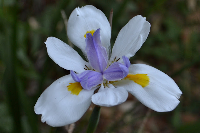
Los Padres National Forest Trailhead location.  (See previous Cold Springs East Fork or Montecito Peak trips for maps.) The local Sierra Club chapter has a weekly conditioning hike every Wednesday evening, inviting all who feel capable of a 6-10 mile hike to meet at the Mission at 6:30 PM. For around the solstice, we have been doing a couple special hikes. Last week, we climbed up the use trail from Jesusita Trail to Cathedral Peak, then continued on to La Cumbre at the top. It would not have been a good trip for a new attendee. This week is a party up on top of Montecito Peak. It would be much more appropriate for a new comer and similar to one hiker's first hike ten years before. I request heading up along the creek rather than the old guerrilla trail and no one else has an opinion, so that is what we do. It is a half mile longer, but keeps us out of the hot sun longer. It also offers some flowers to help celebrate the start of summer. A single iris in the canyon,

Santa Cruz Trail work

Image
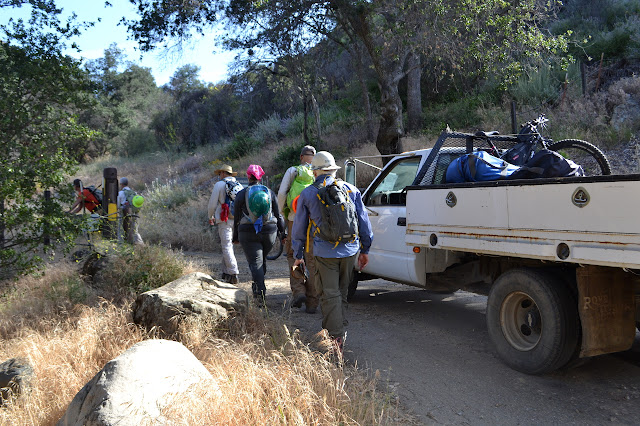
Los Padres National Forest Track on Alltrails. National Trails Day is the first Saturday in June, which can be a touch on the hot side in the local backcountry. Still, there is a great enthusiasm for it and there are always a few events around. I decided to hop over the hill to see Santa Cruz again. I hiked it after the burn, but rain storms had come after to add further injury. We gather at First Crossing even though we were meant to gather at Lower Oso because the gate is mysteriously closed. Apparently the new management company has decided that this is where the day use areas get closed overnight and that overnight should be from 5 PM to 8 AM. The advantage of using the other gate being that there is a clear sign warning about the closure so that people do not get locked in. There is some grumbling from people who have already been locked in without any reason to think it would happen. When the Parks Management employee sees fit to open up the gate around 8 AM, we ca

follow by email