Posts

Showing posts from September, 2017

sketch

Image
Just the one, but it was fun. Peaks and trees along the view to Cucamonga Peak .

Tunnel Trail work

Image
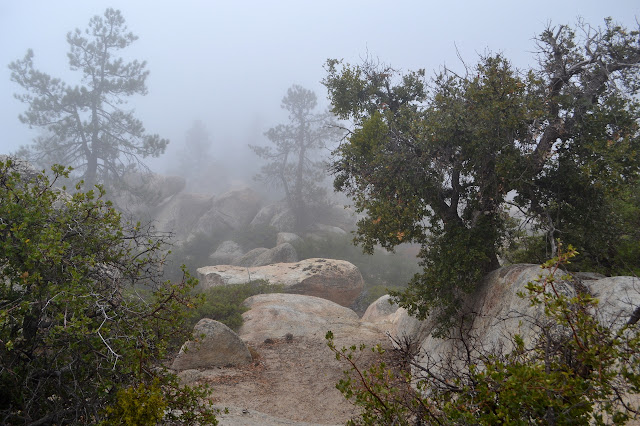
Santa Barbara front country Click for location. It is National Public Lands Day and that means there are many volunteer opportunities all over the forests, parks, and even BLM areas. Oh, and probably a few conservancy areas as well as city and county parks. It is also a fee free day on federal lands and whoever else is participating in fee free days. The gas to get to anything charging a fee and participating in the fee free day that is seems a bit silly to try to enjoy just one particularly crowded day once there. So, I am out to join a volunteer effort. Our Wednesday night sojourns up Tunnel Trail have shown that the brush is getting quite tight, so I went for the closest one which would set about fixing that. The typical Tunnel Trail view down the canyon and over the city. I can see the hill behind the house from here! Today, city and county parks seem to be in charge. We do not have any advantages in getting parking today, but once at the gate, we do get to hop into veh

Fir Canyon - Davy Brown Trail

Image
Los Padres National Forest Click for map. The weekend comes with an offer of led hikes by the Sierra Club for all who show up at the Bank of America at State and Hope by 9 AM, except for the occasional missed day or early meet time. (The hikes are listed here , here , or here .) I decided to take them up on the offer. Today is an early meet time because the drive out to Figueroa Mountain is a bit long, but it is not so hard to get out somewhere by 8 AM. The group numbered 10 as we headed out and still did when we got to the trailhead in the tough part of Davy Brown Campground. It is so tough, in fact, that we were asked to park in a somewhat different spot by the current occupants of the last camp site so they could use the parking area instead of the road as an exit route. They did not like their chances with the road, which was surprising considering the cavernous clearance the pickup had. We reparked and they were happy and so we could head out down the rest of the increasing

Mount Hillyer

Image
Angeles National Forest San Gabriel Mountains National Monument Click for map. I hung around the area to go climbing one more peak in the morning. Very early in the morning, I noticed my stars vanishing, and by sun up they seemed to be doubly gone with the slightest bit of moisture coming down. The weather has changed. Traveling to my planned hike, there was a moment looking out over the clouds, which was quite nice, but then I was back in them. At the trailhead, I seem to be under them ever so slightly. I live in hope as I stuff puffy things and the emergency poncho into the pack in case things get quite cold and wet. Maybe this peak is high enough for that over the clouds view. Signage at this trailhead in the middle of the Silver Moccasin Trail. This is not the shortest route to the peak, but it is the shortest drive. The trail gets on with climbing quite quickly with a few switchbacks. What I can see of the view is surprisingly colorful, full of all different reds and

Mount Akawie

Image
Angeles National Forest San Gabriel Mountains National Monument Click for map. There is still enough light left for something, at least for a silly little thing like Mount Akawie, AKA Buckhorn Peak. It rises a little above the campground and is most easily accessed by a road east of Cloudburst Summit and west of the picnic area. It does not seem to appear on maps and is blocked by a thin yellow gate. The spot has a huge parking area for those times when there is a grand party up on the peak, I suppose. For no good reason, I want to go up the little peak west of the main peak as well, so although the road is wide and easy and clearly the main route, I scramble upward to follow the ridge. Getting high for a view, a peek at peaks east through a wide gap. They do tend to be taller over there. In the small saddle before the little peak, there is a scattering of weathered planks. It looks rather like there was once a simple structure in the somewhat flat area. A scattering of r

Will Thrall Peak and Pleasant View Ridge

Image
Angeles National Forest San Gabriel Mountains National Monument Click for map. A new day and new peaks to bag, but this time I will join a planned outing of the Hundred Peaks Section for some company. I have been really wanting to do the traverse of Pleasant View Ridge from Burkhart Saddle to the other side of the closed bit of the Pacific Crest Trail, especially if there is going to be a car shuttle. Unfortunately, this is not that. This is heading up to the saddle and then turning the other way to grab a couple nearby peaks. Still, it gets me into an area I have enjoyed visiting before, then out to some new spots. First, it is a little over a mile downhill on well used trail to Cooper Canyon, past various falls and with the sun thinking about getting down into the depths of the canyon. There is a lot of vertical to the land as Cooper Canyon empties out into Little Rock Creek. Past the Cooper Canyon waterfall that marks the end of previous exhibitions in this direction,

Cucamonga Wild: Ontario and Bighorn Peaks

Image
Angeles National Forest San Bernardino National Forest Click for map. DAY 1  |  DAY 2  |  DAY 3 Although 2000 feet higher, Kelly Camp was not much cooler than Commanche Camp the night before. I pack up and tuck my gear away. This place does not have anything like the traffic at Icehouse Saddle, so I am not as worried about getting it totally hidden. Heading up the old camp steps along the trail gets me out of came and climbing to the ridge. In between is an area where burn and regrowth has left a trail that circles about in ridiculous ways. Looking north to Timber Mountain and Mount San Antonio. At the top of the ridge, it shows an advantage of saving these peaks with a similar view for a new day. It is a whole new world down there today compared to yesterday. The city grid stretching far west and east is now gone in favor of a sea of clouds with a few islands. There were vast connected cities here before and now there is just Santiago Peak in the distance. T

Cucamonga Wild: Cucamonga and Etiwanda Peaks

Image
San Bernardino National Forest Angeles National Forest Click for map. DAY 1  |  DAY 2  |  DAY 3 The night was about as cool as my sleep system could go without a little help, but I did not have to sacrifice my pillow for the warmth of the jacket within it. Bright stars shone through the breaks in the trees when I looked. Today, there are mountains to climb and then a stop at Kelly Camp before climbing some more. I expect the established camp probably has a spring associated with it, but there is certainly no water source to be seen on my map. The rangers at the station googling were able to find the suggestion this may be true and that it was dry in May. For a stream, that would be damning, but springs run on their own offset schedule. Not knowing where to find it, I really need to get water where it is known. That means either here and carry it up 2000 feet or from a spring on the other side that is out of my way, but only 1000 feet below the saddle. The 30 feet of surface

Cucamonga Wild: Middle Fork

Image
San Bernardino National Forest Click for map. DAY 1  |  DAY 2  |  DAY 3 It is beginning to look a little cooler out there and I decided I would brave the weather down south, at least up high in the San Gabriel Mountains. There are plenty of peaks up around Icehouse Saddle that I have not bagged yet and it is an extra nice hike, so I decided I would do that. I also have a memory of one early May many years ago when I came out to backpack up Icehouse Saddle and out to one of the two campsites within two miles of it, however when we got to the ranger station, we were told that the trail was mostly clear up to the saddle, but everything else was under two feet of snow. It is funny how a lurking memory of unrealized planning can motivate one. Still, in the name of going for something new, I decided to come up to Icehouse Saddle from the east instead of the west. In researching that route, I found that someone has put two night caches along the trail between Third Crossing and Comm

Cave of Munits and Castle Peak

Image
Upper Las Virgenes Canyon Open Space Preserve El Escorpion Park Click for map. I expected it to be a little warm today, but there is a thick, grey blanket overhead keeping things cool. Victory Trailhead is not the closest to the cave and is the only one with a parking fee, but it comes with some signs and picnic tables and a truly disgusting bathroom. It claims to be open sunrise to sunset and has sufficient gating to make it difficult to pass should those get closed. I was able to save the $3 by parking along the nearby street which probably added a quarter mile to the start. Most seem to do this while some go ahead and pay the minor fee. The very well used Victory Trailhead. Starting off, there are a lot of trails to choose from, but only one heading north toward the cave. I turn right to follow it up a short way and then down a long and gentle path. There are many small use trails off to the side going up canyons or ridges. The cave comes into view quickly as the larg

follow by email