Mount Akawie
Angeles National Forest
San Gabriel Mountains National Monument
Click for map.
There is still enough light left for something, at least for a silly little thing like Mount Akawie, AKA Buckhorn Peak. It rises a little above the campground and is most easily accessed by a road east of Cloudburst Summit and west of the picnic area. It does not seem to appear on maps and is blocked by a thin yellow gate. The spot has a huge parking area for those times when there is a grand party up on the peak, I suppose. For no good reason, I want to go up the little peak west of the main peak as well, so although the road is wide and easy and clearly the main route, I scramble upward to follow the ridge.

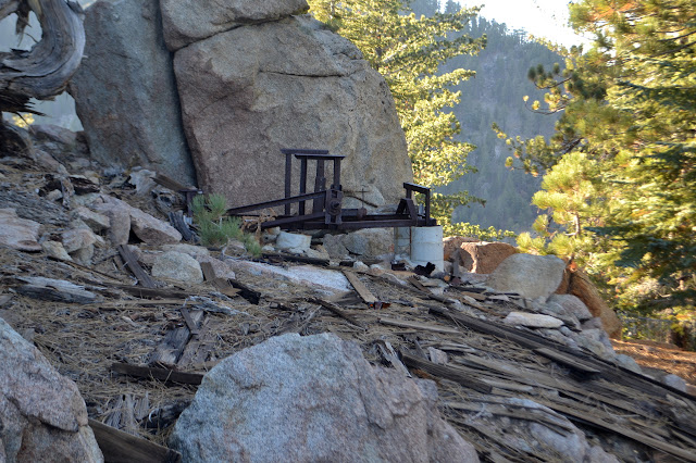
In the small saddle before the little peak, there is a scattering of weathered planks. It looks rather like there was once a simple structure in the somewhat flat area. A scattering of random planks is not all that unusual. The peak itself is a rocky outcrop in the trees. It has no views except down its sides where there is quite a bit more evidence of old buildings that were less simple.


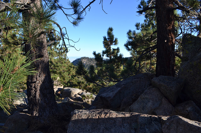
Dropping down again, there is a bit of old road passing through the saddle between the little peak and Akawie. I have no idea where it is headed, but there seems to be some hiking interest in it. A trail crosses it and starts to climb, so I follow this up to the top. The top is flat and covered with trees with more rock outcrops to form a summit block on the far side. At least I think that must be the high point over there.
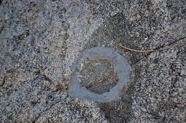
Poking around for a benchmark just shows a round spot of epoxy where one has been removed. Poking around the peak area can find somewhat better viewpoints.
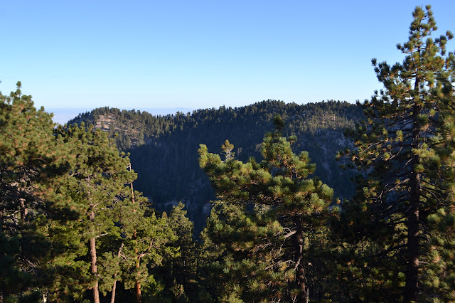

It looks like it might have some okay sunrises, but not so much for sunsets. I head down again, this time following the regular route along trail and eventually road. It is quite a short route.
©2017 Valerie Norton
Posted 28 September 2017
Liked this? Interesting? Click the three bars at the top left for the menu to read more or subscribe!


Comments