Sespe: Piedra Blanca
Los Padres National Forest
Map link.DAY 1 | DAY 2 | DAY 3 | DAY 4
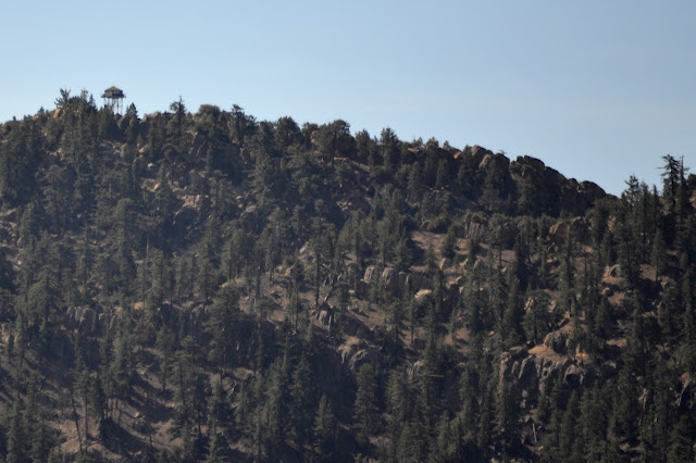
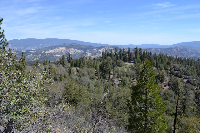
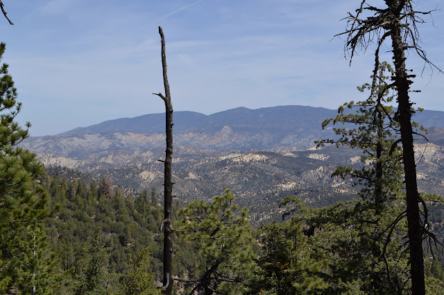
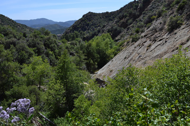
The night at Fishbowls was warmer than at Halfmoon. It was somehow the most comfortable night for me and easy to get up in the morning, not that this day promises to be a challenge. From here, the trail climbs 400 feet up to Cedar Creek and then we climb about 600 feet to get out of the Piru drainage and into Piedra Blanca. We only follow the water a short way before leaving it for a dry fold of land and the rest is dry until after the ridge. We climb through a rugged, but short, land until the junction, where the sign has never been planted. The lookout can just be made out, still standing, on the distant Thorn Point.
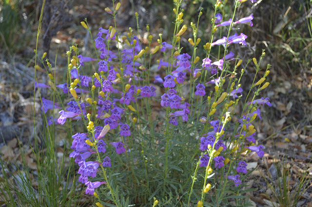
As we climb along Cedar Creek Trail, there are meadows of wildflowers, and as we climb higher, the trail begins to feel very much like the trail to Haddock. Since Haddock is along the same ridge, but the other side of Piedra Blanca, this is not so surprising. We have to clamber over a couple trees as we go, the largest still full of long green needles.

We pass through a saddle and start down quite steeply. The trail is marked with cairns, but seems quite easy to follow. It seems to go over two large trees, but then there is little indication where it goes as it runs into a rock. Some seem to go steeply down and some seem to go steeply up, but neither looks like many have traveled there. We go down and spot a short section that looks like trail before losing everything again. Since we seem to have been going too steeply down, we look for the trail above and find a tree felled and cut long ago. Further up, there are cuts on the brush. The brush looks like it might have been cut for a ridge fuel break, but the tree seems too far from the ridge to have been part of that. It is soon apparent that the trail cannot be up here, and we go down to find it clear and barreling steeply down the bottom of the drainage. It gets out of the bottom here and there and drifts into other minor drainages to the north as it makes its way to Pine Mountain Lodge. We pass a spring as we go.


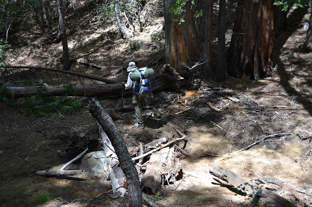
The trail sign at Pine Mountain Camp is hard to read and the pieces of the location sign have vanished. There is water in the creek beside it, but we are glad we still have enough to get down to the big spring below. We head the short way north to get to the main trail and then start the southward and soon steep trek down.

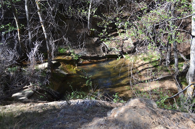
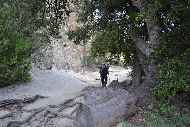
We foolishly go past the spring at the bottom of the steep section without grabbing more water. The water goes back underground for a while and then is hard to reach through all the growth, much of which has a bottom layer of poison oak. We get water at the first stream crossing instead and it is still delicious there.
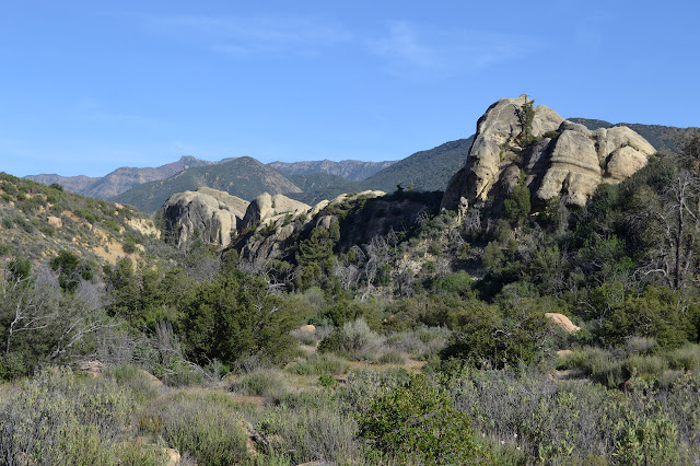
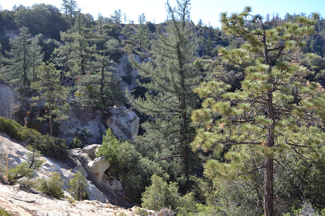
Eventually we are upon the actual rocks whose obvious description becomes the name of so many other things in the area. The trail heads up and away from the creek as Piedra Blanca looms near. There is a short drop across a drainage and then climb up to the rocks. The evidence of human activity is everywhere on these rocks. I recognize one "art panel" that was featured on the Condor Trail facebook page challenging someone to locate it. It is probably vulgar, but too crude to be sure. Next to it on a much larger bit of darkened rock, the years of "artists" have all signed their names and added pieces of male anatomy. The rocks are heavily worn where the trail passes and near a few nice viewpoints.
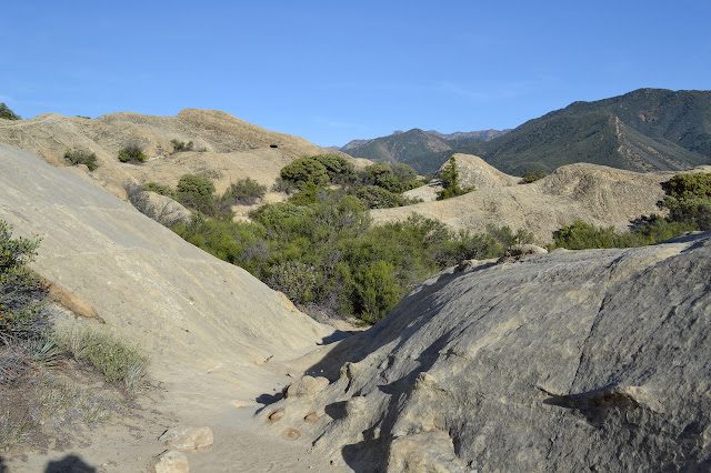

After getting down off the rocks again, we leave the Sespe Wilderness for the last time this trip. The trail twists in an extra long route to avoid the frog breeding ground that finally closed Lion Camp permanently. As we cross back over the river and Lion Creek, things are a little different than when we started. The northern section of Sespe River has dried out so we only cross water in the river once. Lion still has a lot of water, but it is not flowing across where the trail crosses. Looking back at the rocks, they look even whiter than usual in the early evening sunlight.

*photo album*
©2014 Valerie Norton
Posted 22 May 2014
Liked this? Interesting? Click the three bars at the top left for the menu to read more or subscribe!


Comments