Scodie Mountain
Sequoia National Forest
Another weekend means there are more Hundred Peaks Section outings one might decide to join if one is so inclined. I noticed one coming up was for the very southern section of the Sierras, so southern most people do not even think of it as part of the Sierra Nevada Range, and was interested in checking out the area. I told Bernard and he was extremely interested and even tried to collect a whole crew to come out. In the end, only the two of us headed up to Walker Pass Campground for the guided tour up the mountain.

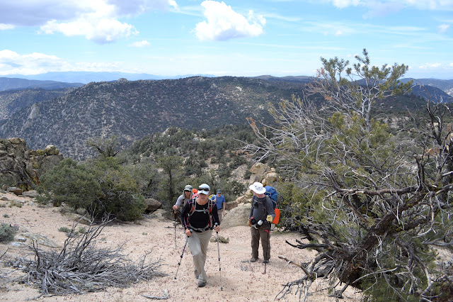
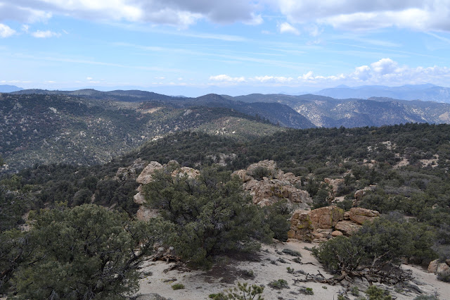
The overall group is quite large with fifteen hikers. We climb the hill out of the campground to the Pacific Crest Trail and turn for Mexico. After a half mile on trail, we leave it for a shallow drainage. Most of the hike would be off trail according to the description. At first, it is quite easy going although still a little slower for being off trail. We pass mostly brush sage and pinyon pines with a few grey pines or something with similar hooked cones and a clump of willows. It is very easy vegetation to push through.
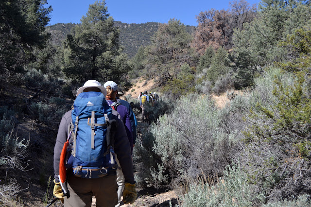
There is not much to see while we are in the bottom of the drainage, but our leader soon gets to fixing that. She is on a provisional getting her "I" rating and seems to have a curious disdain for use trails and a penchant for steep lines up steeper hills. (A am not entirely certain what the letters "I" and "O" are for as there seems to be no explanation on the outings site, but they precede each hike. It may be that "O" is largely on trail and "I" is off trail. This is a meaningless distinction in some areas and I pay more attention to the navigational difficulty mentioned in the route guides.) There is increasing mumbling at the back as we leave a use trail once again to climb upward until finding something that looks a lot like a well groomed trail.
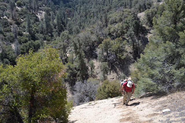
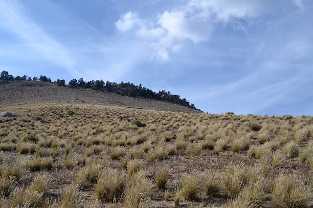
Once on the PCT again, we follow it through a switchback and around the ridge line to another gully with a use trail traveling up it. Again, we start upward to gain the ridge and take a moment on the first high point. It is occupied by a tree that is hanging on by a thread. From here, we do not have much to climb but a fair distance still to go on a wide ridge. They can be surprisingly hard to follow.
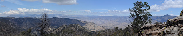
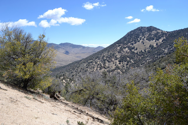
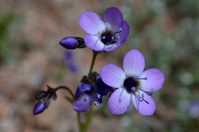
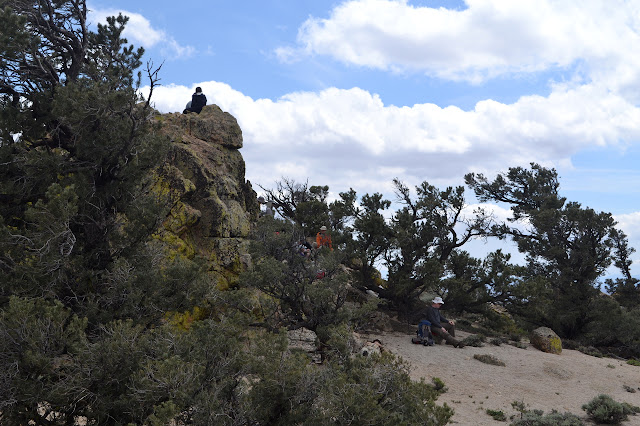
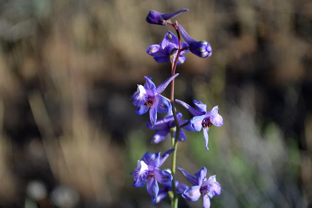
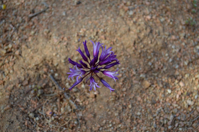
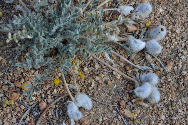
There are quite a few more flowers up on top of the ridge as we start to move again. Sometimes there is even what might be called a meadow in this desert environment. We follow the ridge roughly, and our leader seems to prefer to drop into the tops of gullies and climb again rather than wiggle a little to stay high. Eventually, we get to a rock outcrop and beyond it, nothing but steep downhill. We are at the high point of the Scodie Mountains.
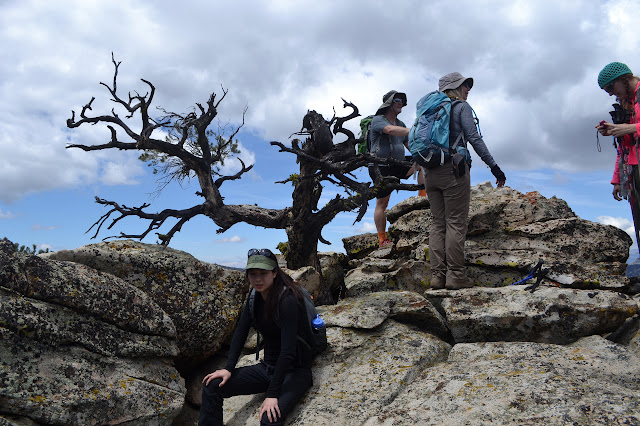
We climb to the very top to sign the register in about three shifts because there really are quite a few of us and very little room at the top. We then scatter about to enjoy the top in our own ways. Poking around, I can find wire and a couple cut boards, but no benchmark to go with them. It is curious that sometimes the scrap of wood can outlast the metal disk. Maybe if I flip over enough rocks, there will be one. Maybe the wood and wire is from something else as there is no indication on map or in the NGS database of a mark. I suspect it is just another omission.
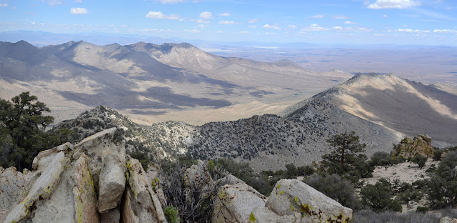
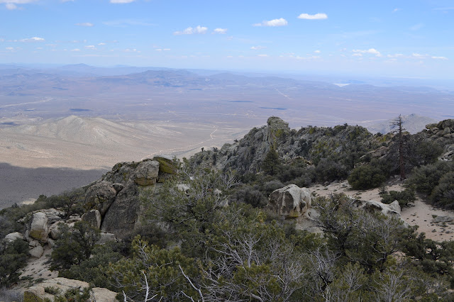
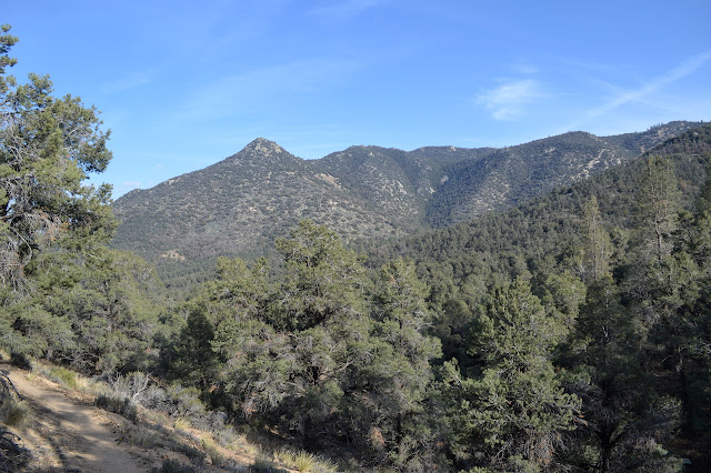
We eventually head down again. There are a few curious turns again, but eventually we are following the use trail down through a canyon, trying to get around the fallen trees that cross the bottom. Just below the last tree, things become much more familiar and the slope comes closer to level. At the trail, I decide to break off from the group and walk it a little further, which means initially the sign in sheet for an early sign out. The trail climbs around at a much easier pace with views of more than the branches of pine trees. There are spots where it is sandy and annoying, but mostly it is packed and easy to travel.
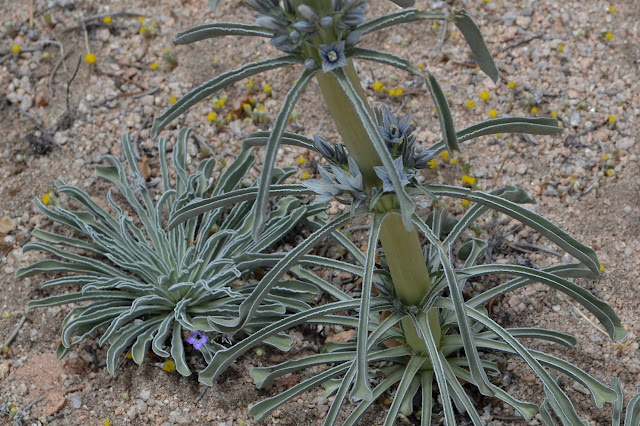
Gradually, I notice that there are a few flowers down low as well, including some Mariposa lilies.
After a mile or so, I head back too. The crowd of HPS hikers has thinned out, but those who are left are trying to get rid of their extra food by entertaining the early PCT through hikers who are currently camping here. I met one on the trail who was delighted to hear the number of miles left was "half". Mostly, they are entertaining Faceplant, who is hiking with the son who gave him his trail name. His son fits in with the 25-35 year old men who seem to be the majority of the through hikers while he fits in with the rather older men who seem to make up so much of the HPS hikers. Trying to chat with some of the ones pulling out 30 miles in a day about the bits of trail they went through in Angeles just in the last week proves futile and leaves me wondering if they really want to hike the trail or just the miles. I have to settle for chatting with Faceplant about "hike your own hike" and how they are doing it wrong. He was taking in some scenery and asked one passing youngster what he thought about it only to be told, "I saw a rattlesnake."
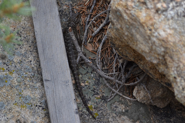
Oddly, interacting with people actually doing it makes me feel more like maybe trying it myself. I have known for maybe 25 years now that people do this and even contemplated cross continent travel, but never really wanted to try the PCT. I have followed trail journals for a couple years now (one we met is blogging here) even. One posted an enthusiastic entry for hitting 1000 miles, then quit around 1057 saying there was only one goal he had left and it did not seem worth it. I think he must have been doing it wrong. Every mile has a little magic spot, something unique to it. Some miles have more obvious spots, where you hit the top and look out over somewhere totally new and look back over somewhere that has totally changed since you first looked at it. Some miles have something simple or even ephemeral like a flower or a lizard.. Each mile should be a goal to look forward to when ahead, and an accomplishment when behind.
I am being highly judgemental. These guys are nearly a quarter of the way through. They must be doing it at least a little bit right for themselves. I guess the same can be said for the route up this mountain that I would choose differently. By the SummitPost entry, the route along the trail was once listed by HPS, but they have removed it in favor of other routes they like better. They do manage to bag these peaks and often enjoy hiking them over and over, so they must be doing it right for themselves.
So, with all these thoughts and conversations, we turn to singing into the night, decide we are dreadfully tired, and drop into sleeping bags at a time when a small child might still be begging to be allowed to say up.
*photo album*
©2015 Valerie Norton
Posted 19 May 2015
Liked this? Interesting? Click the three bars at the top left for the menu to read more or subscribe!


Comments