Beauty Peak and Iron Spring Mountain
Beauty Mountain Wilderness Area
For the second day of peak bagging with the Hundred Peaks Section hikers, I head a little bit south and down a maze of paved and dirt roads to a spot a certain distance from the last corner that provides sufficient parking. Both sides of the road are a wilderness area preserved by the county. The only thing that is distinctive here is the gate and road traveling to the north, but we are not going that way. There is a second road to the north a little way up the road, but that is not our route either. Instead, we backtrack from our parking area a couple hundred feet and turn down a third road road heading southeast that is hard to even notice after many years of abandonment. I can sort of imagine where the road was, once, but the occasional fading pink ribbons in the bushes are much easier to follow. It does not last long anyway as we turn off in our own direction.
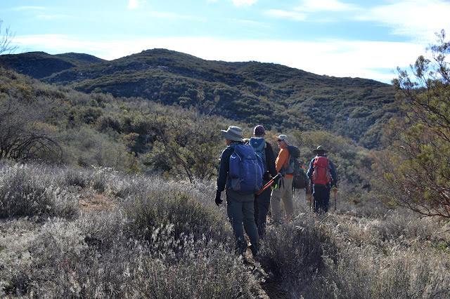
We head down into a canyon and up again. The route is steep, then flat, then steeply down, and flat again, and steep up and into a wash. Once in the wash, we stick near the bottom, but there are sudden jaunts up the side and back down to get around vegetation and rockfall. It gets easier as we go and we eventually find we have walked over a wide saddle. It is a short and twisting, easy drop down to an earthen dam.


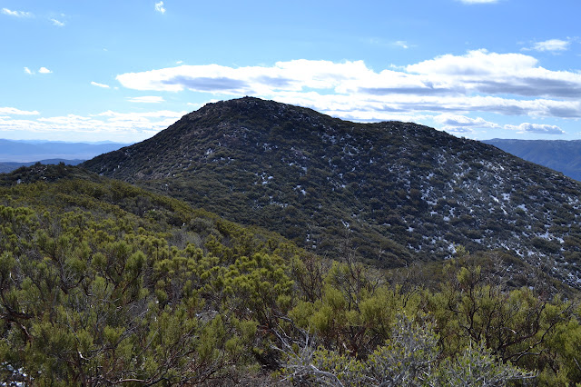
A road travels across the earthen dam and somehow a pair of tire marks cross along it. The road is so narrow that the tire prints touch both edges as they go. We turn west along the road and climb it a short way to a saddle before launching ourselves back onto use trails through the brush. At first, the trail takes an easy line up and down the little false peaks. As the final peak draws near, it is as though the original route finders got a bit single minded about getting there and it becomes steep and direct instead.


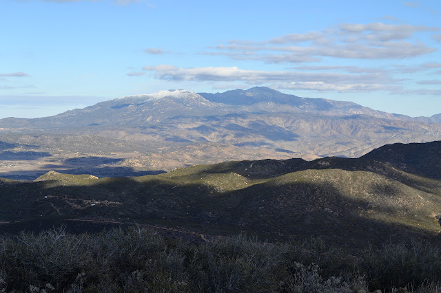
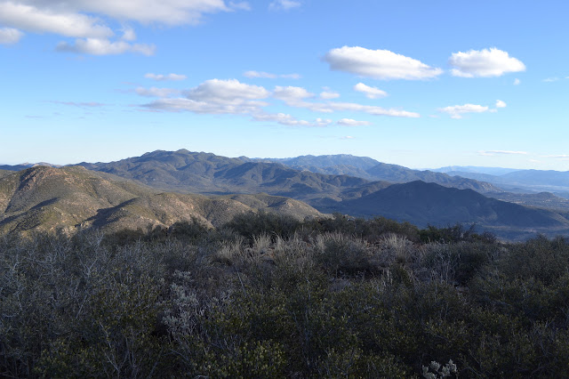
Arriving at the top, everyone settles in for snacks and register signing and trying to take in all of the view. There is quite a lot of view.


After a half hour or so, we carefully make our way back down the steep sections, then continue to wind back to the road. We follow the road back to the earthen dam then a few hundred feet more before again plunging into the growth to climb up Iron Spring Mountain. This trail is similar to the one up Beauty Peak, although I am told that it is often more brushy than the other.
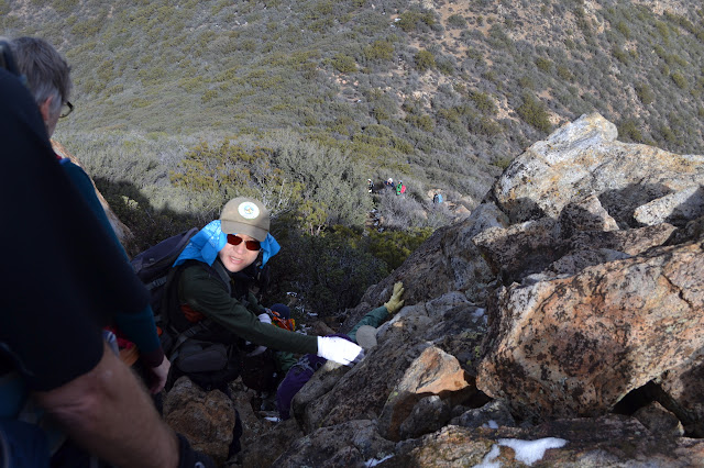

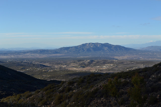
At the top, we sign the second log and enjoy the somewhat different view.

We spend a little less time on Iron Spring Mountain before returning the way we came down to the earthen dam again, then back over the saddle and down the wash. It seems the snow that will melt has already done so and there is just as much as we finish as there was when we started.

Our finish today is a little earlier than yesterday, but the length is nearly halved. It is surprising how much longer it can take to push through brush, even if there is not that much pushing, than to just wander up a trail.
*photo album*
©2015 Valerie Norton
Posted 3 Dec 2015
Liked this? Interesting? Click the three bars at the top left for the menu to read more or subscribe!


Comments