Montecito Peak
Los Padres National Forest
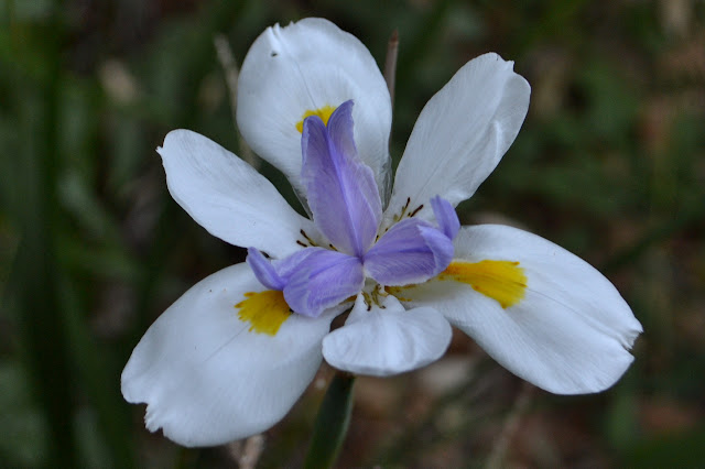
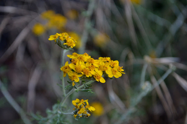
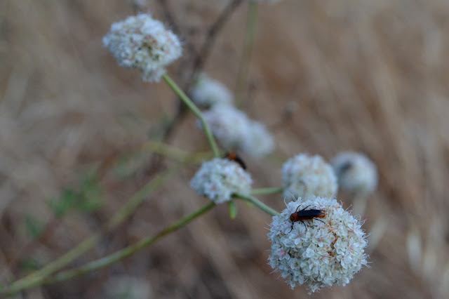
Trailhead location. (See previous Cold Springs East Fork or Montecito Peak trips for maps.)The local Sierra Club chapter has a weekly conditioning hike every Wednesday evening, inviting all who feel capable of a 6-10 mile hike to meet at the Mission at 6:30 PM. For around the solstice, we have been doing a couple special hikes. Last week, we climbed up the use trail from Jesusita Trail to Cathedral Peak, then continued on to La Cumbre at the top. It would not have been a good trip for a new attendee. This week is a party up on top of Montecito Peak. It would be much more appropriate for a new comer and similar to one hiker's first hike ten years before. I request heading up along the creek rather than the old guerrilla trail and no one else has an opinion, so that is what we do. It is a half mile longer, but keeps us out of the hot sun longer. It also offers some flowers to help celebrate the start of summer.

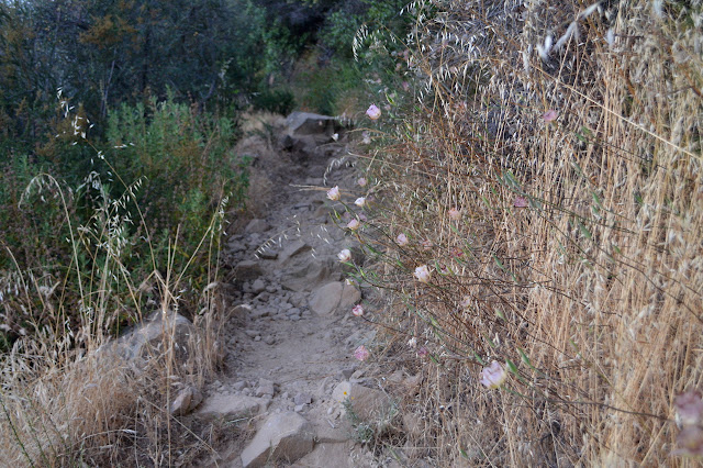
Coming along the canyon means getting to see how the flooding changed the trail, too. Rainfall one evening was over 7 inches down where the houses yield to wilder mountain and a foot up around the top. Most of the trail seems fine, but the crossings have a completely different face. The first by a pool completely washed out leaving the trail to migrate upstream a little. The second through some hard rock has changed from awkward to difficult.


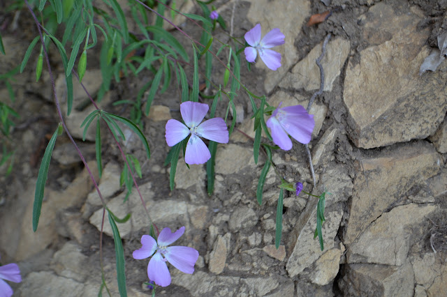
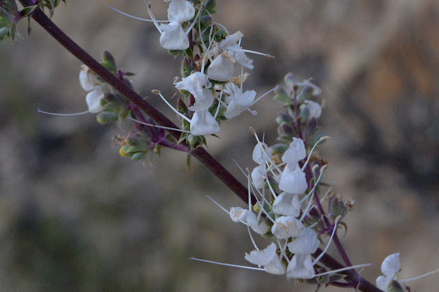
After the second crossing, the trail starts to climb. When it gets high above the upstream portion of the creek, the sound of water below vanishes. Swinging back, the sound returns, but ultimately I am going upstream and the sound of water is lost for the rest of the hike. But there are still flowers.


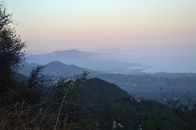
The trail hits the road where far too many hikers seem to think it ends. It is just a couple hundred feet more to where it splits off again to travel up to the top and then back down the other side. Thin mists are hanging over the cities, but it sure is a little warm up here. The air moves a little more than down in the canyon, but not much.
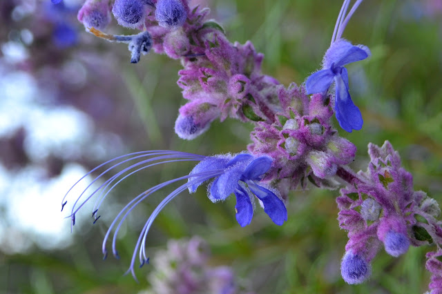
Oh, and there are still more flowers.


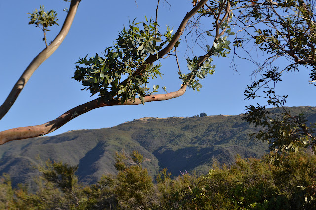
I am probably taking way too much time playing with my camera on the hike up. It is already getting dark as I get to the pair of stunted eucalyptus trees. Everyone else is probably already on the top.


Above, the trail twists back and forth upward a short way. I keep my eyes on a single pine that stands out in on the hillside of brush only 4 feet high. The trail never gets close, leaving the tree mysterious. Once it has climbed above that pine, the trail gets to traveling along the mountain again. It is a long and fairly flat section where I can make some speed. It seems shorter than usual, but there is no denying the split in the trail ahead. I take the steep use trail on the right carefully up to the low saddle above, then up further up the wide and steep eroded mess to the peak. My preferred trail heads off to the right after a couple twinings and is getting a bit of poison oak on it. It climbs up over the very top of the peak to the lookout point just the other side where everyone else is gathered and tonight comes with a couple of tiny gopher snakes.

There is food and drink and song and hanging out all night for those that want it. Most head down again in the night. The evening never really cools off although there is sometimes a very light breeze. The city still only has thin streamers of fog over it even quite late. But with the dawn, and still no need of any sleeves up here, a blanket of fog has moved in. The sliver of moon rising needs to be photographed, but the long exposure required needs some good hold. Luckily there is an excellent rock situated well for such an endeavor.


Getting on the rock was awkward, but there is a better trail a little way around it. Or so it seems until the buzzing starts. Suddenly, sliding inevitably down the last few inches of this rock toward a buzzing sound is very near the top of my list of places I do not want to be. It is quickly surpassed by standing on the dirt next to the buzzing sound that I still have not located. There is a certain amount of screaming. Fortunately, standing on the dirt gives me something to push against to obey the one, overriding desire to be AWAY, which means back up the rock right now. Unfortunately, since my hands are more interested in not dropping a heavy camera on the buzzing source than grabbing the handholds at the top, this just causes a repeat of sliding inevitably down a rock towards a buzzing sound. Happily, it is not a foolish stand-your-ground sort of snake. I finally spot the last few inches of tail and rattle as it is on the move along the little trail toward a smaller rock with a nice overhang. It seems unhurried as it holds the rattle high and shakes it furiously. The buzzing continues, muffled, as it tucks in under the rock while I finally collect myself back at the top of my own rock before taking the original route back to the dirt top. My feet were not much further up the rock while I took photographs from it, quite possibly about a foot from the resting snake.

The snake under the rock gives a few more muffled buzzes when it hears conversation nearby. At least that means we still know where not to be before heading down into the fog.


It gets much cooler as I get close to the fog, even while still above any tendrils of the stuff. Once in it, it just gets nicer. With everything so hot inland, one really cannot beat the coast.
©2017 Valerie Norton
Posted 23 Jun 2017
Liked this? Interesting? Click the three bars at the top left for the menu to read more or subscribe!


Comments