Lake Shore Trail - Wedleigh Arm
Lake Casitas Recreation Area
Click for map.
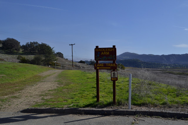
There are a number of trails close around Lake Casitas and I decided to poke along one before a nearby event in the middle of the day. Entry to the recreation area costs $10 per car in the off season, but you can walk or bike in through the main entrance for free. Follow the roads around to parking at the trailhead. The trail continues from the end and out around the lake. It is a rather wide and smooth dirt, apparently even suitable to hoverboards as a couple pass me on a pair that somehow look more like small Segways than a floating skateboard. They quickly turn down a smaller trail heading for the distant lake shore. Then it is just me and a lot of footprints and bicycle lines on the dirt.


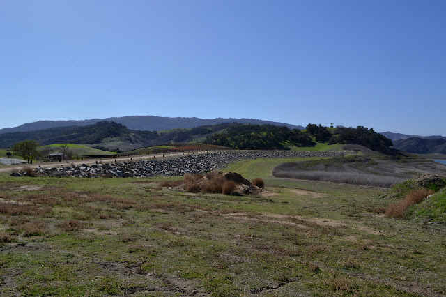
At first, the trail is just along the road as it starts around the edge of the Wedleigh Arm of Lake Casitas. It slips through a gate that could be rolled closed and locked at sunset, according to the sign. A post next to the gate marks mile 0 of the 2 mile route. It turns away from the road and crosses an earth dam between the low lake and a winery before becoming a wide dirt ribbon between water and chaparral.


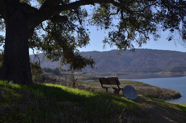
As I wander around, I am never quite in nature. It is not just the cars on the shore and the boats on the lake, but there are even a couple garbage cans along the way and a bench and picnic tables at the end.


I have plenty of time and the lake is opening up a bit, so I rest and watch for a while. There seems no reason to end the trail here. It just sort of runs out. The main dam is just visible over a couple more fingers of land and whatever lies behind the island is still hidden.


After a bit and a drawing, I head back on the flat road. Although there are many prints in the dirt, there is only one other hiker while I am there. There was a bike shortly before I started and the pair with their powered rollers. It is a pleasant enough stroll, but probably not quite worth the entry fee.


©2018 Valerie Norton
Posted 7 Feb 2018
Liked this? Interesting? Click the three bars at the top left for the menu to read more or subscribe!


Comments
My luck up there isn't so great. My one wander (on Laguna Ridge) got a free ride back to my car and I was entirely on federal lands. I did get a "warning" without any paperwork which does make me suspect someone might have been abusing his authority a little to harass me.