Old Baldwin and Riverview
Ventura River Preserve
28th of January, 2018
Click for map.
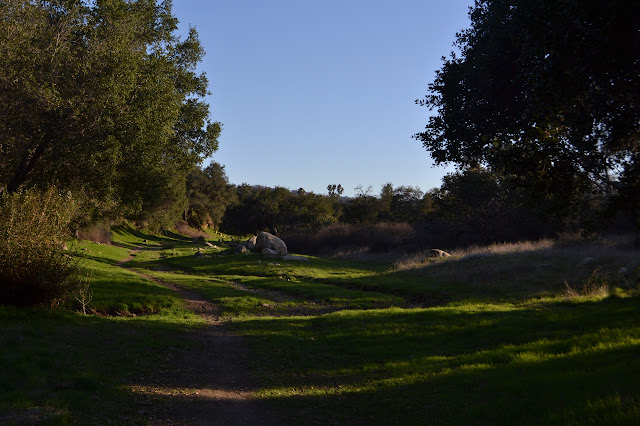
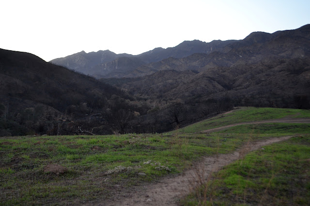
For afternoon, I headed off to the Ventura River Preserve to walk to the burn. Most of the preserve burned in the fire or was back burned in the fight. I started at the Old Baldwin Trailhead (the south route) simply because it is quick to get to from the highway. I recall something about the gate on the road in closing at a certain time, but cannot find anything about it on the trailhead signage. A sign glanced at while zooming past the gate might indicate 4:30 PM. I take off along the side of the ACA compliant trail past trees and shrubs untouched by recent fire.


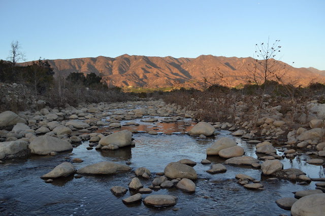
The trail forks and I follow to the left. This trail takes me to a couple lookout points to view the Ventura River. It is running now, and even rather clean while it does so. I am surprised by the clarity considering the state of the watershed it comes down from. I remember plunging blindly into one creek coming down off the Station Fire scar. The difficulty was due to all the silt still coming down. Today, the river sparkles delightfully.

The trails come together again. Worried about the time, I head back to go to a trailhead I know has no gates to get stuck behind. While this trail is right behind houses, it is a particularly pleasant walk under trees with evidence of the recent rain all around.
The lot is now full and there are still people arriving. If there is a time I must get out of here by, it is certainly not 4:30. I head out to the Riverview Trailhead anyway. It is also rather full, but there is still a spot for me. I head down into the flood plain and straight for the river, this time to cross it.
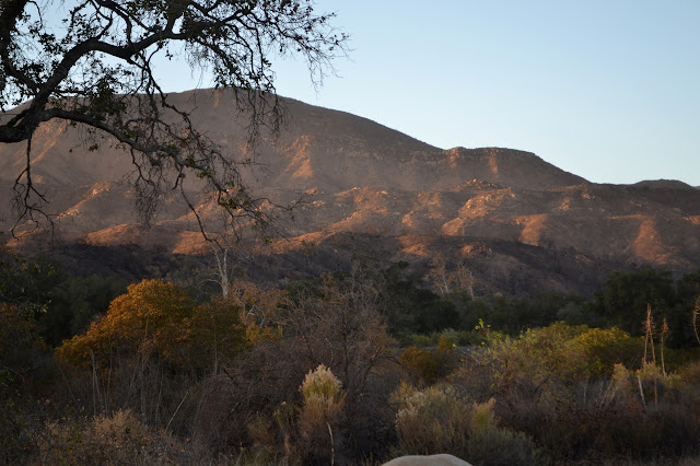
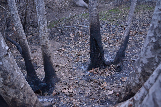
I had taken a rather major looking trail to the river and found enough rocks to cross it on, but the trail seems much less reasonable on the far side. It is well marked at first, but finally climbs out of the river bed directly up a steep hill. It connects up quickly enough to the proper trails. Across the road, things become a lot less green and a lot more, well, black. Some of the black is already pealing off, but mostly it is grey and black.
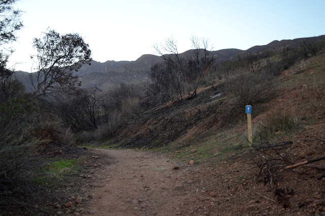
I break off the main trail to take one up the hill. It continues over to a hitching post for horses, but then seems to sort of run out. At the top of the hill, another trail breaks off along the ridge line to a higher spot. I look around briefly in the gathering gloom, but it might already be too late for photographs.


I head back down and then down by the creek. It is more dangerous here as the oaks were already weakened and falling before the fire came through. Now they have had further stress. There is really no telling what might happen down among them.

Following this trail, I find the more usual river crossing before winding my way this way and that back to the car. A motion by my feet makes it clear I had better watch my step or it might be very bad news for one of the many frogs out and about in the early evening.


Although there are still a few people, walking barefoot by moonlight and otherwise with their dogs, the lot is nearly empty by the time I finish and take off myself. The burn is a lot of what I expected, but it was nice to see a few spots that were not leveled. The north side of the hills had a few spots that looked like they might have come through it, and that was quite nice to see.
©2018 Valerie Norton
Posted 8 Feb 2018
Liked this? Interesting? Click the three bars at the top left for the menu to read more or subscribe!


Comments