Posts

Arcata Ridge Trail and the long way back

Image
Arcata Communuty Forest (map link) Having decided to uproot my life to do some manual labor in New Mexico, I was off to Harbor Freight for a light duty grease gun to do some yearly maintenance on the trailer that really should have been done a time or two already. That put me conveniently close to the usual Arcata Ridge Trail trailhead for one last hike (for a while) in the Community Forest. Various hikes around the community forest are one of the few ways to get some elevation gain near Arcata. I resolved to hike the whole of the Arcata Ridge Trail to Fickle Hill, then up around the highest area of the forest, looping back down the long way. There were a few Caltrans vehicles and a couple hikers parked at the trailhead as I started. The creek was flowing, but not strongly, as I walked along it. The record, in some nearby spots, rain in December had yielded to a dry January. The trail with hidden creek to the right and hidden swamp to the left. Janes Creek is not so hidden ...

South Fork Elk River

Image
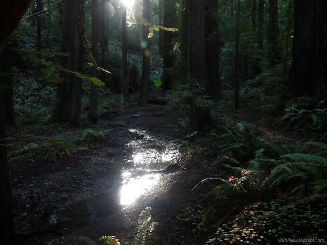
Headwaters Forest Reserve (map link) Since I had spotted the single blooming fetid adderstongue (and the two already seeding!) near Avenue of the Giants, I decided to head up one of the only real climbs around Eureka to see if I could find some more. I had seen many of them before, but all with drooping stalks to seed pods in May and June. It would be something to see all of them when the stalks are stiff and holding up flowers. Unfortunately, wheels were starting to turn and I might not be around for the more opportune time after mid-February. I started up that first paved mile. The South Side Trail was closed, of course, so there was no going around it. The barn along the way used for educational exhibits. The nearly obscured South Fork Elk River water level isn't very high at the moment. The paved ADA accessible portion of the trail ends at Falk after a mile. It gets a little more rolling for the next two miles. There is a slick mud section where land slides have ...

Chandler Grove Trail

Image
Humboldt Redwoods State Park Click for map in new tab. The final little hike of the day spent along the Avenue of the Giants was another marked as a stop along the auto tour. The parking area is a short way north of the unmarked road for the High Rock River Trail . This particular trail seemed designed to highlight hillside forests and log bridges. Trails form two loops with a spur down to a creek. I started up the rightmost trail, to head around the outside of the loops counterclockwise. Hillside trees generally aren't quite so big, but there was one or two, along with other features of old growth as listed on the sign below. Trees on a hillside with a multilayered canopy. Some big trees turn out not quite so big above. Not many bright colors at the moment, but there are a couple mushrooms in the duff of redwood needles and laurel leaves. I took the spur down to the log bridge, of course. It is a rather steep little trail switchbacking down to the tiny stream be...

Founders Grove

Image
Humboldt Redwoods State Park Click for map in new tab. I would expect Founders Grove to be among the sites developed enough that it requires the $8 day fee, but found nothing about it. I set off on a double loop through the trees. They're nice and big. Perhaps not quite so large as those at Rockefeller Grove on the other side of the river, but still very nice. There's even one labeled with its particular details and set with a platform for picture taking without quite so much root stomping. You can go on up to Tall Trees for a taller one, but this is just off the main road and that is up a narrow, winding thing. Signs marking one of the starts of the trail. A half mile ADA accessible trail starts here as well. Some 346.1 feet of Founders Tree. Extensive burn scars help set one tree off from the rest. There's a few tunnel trees near the start, too. Taking a clockwise route, I found myself passing the stilled drama of fallen giants crashing down atop eac...

High Rock River Trail

Image
Humboldt Redwoods State Park Click for map in new tab. While the High Rock River Trail is an official trail shown on the map provided with the Humboldt Redwoods State Park brochure, it certainly doesn't seem that way when starting out on it. I turned down a narrow and unsigned road which happens to be the High Rock River Bar Access and parked in the wide spot just before the open gate. I was a little past an opening into the forest beside a cut log where there is an unsigned trail. I started down it with a sureness set very precariously. The slightest hint could have sent it tumbling into an abyss of dread. The first and only indication of what the road is for is at the gate, well down it. You are not to drive in the river, just on the gravel. It's not a problem this time of year. A path under the trees. Pondering the massive burl in the side of a redwood and the way the bark has split around it. Fortunately, the signs were good. In fact, I started passing hu...

Drury-Chaney Loop and Grieg-French-Bell Loop

Image
Humboldt Redwoods State Park Click for map in new tab. Humboldt Redwoods has some long trails and great redwoods along Bull Creek, but I decided to take a day to see things on the auto tour along Avenue of the Giants. My first stop was a pair of loops at the north end. I must admit, my motivation to stop in this area was that I found out there is an "albino" tree nearby, but I wandered the advertised routes before going after that special treat. The Drury-Chaney Loop is a stop on the tour and is an accessible lollipop of a loop trail. It is 0.8 miles to the loop and 2.4 miles for the round trip. I found the curves banked so much it put me in mind of some rough racing event and one tree was down nearly to the loop, but a hardy wheeled traveler might still be able to make it. Hopefully soon without the tree. Signs and a picnic table at the start of the trail. Just inside the trees, the gravel path executes some little, high banked, curves. These auto tour stops...

Trinidad Head to Elk Head

Image
Trinidad State Beach (map link) I decided to have a walk out to Elk Head and watch the water a little out there. I parked at the other end of the park by Trinidad Head, then climbed over the ice plant covered hump of sand to the beach. The tide was quite high. Some day I should come at a low tide and actually get to see the arch up close. Well, the one arch on the beach, anyway. There seem to be quite a few in the area. The blowhole spouted once on the side of Pewetole Island to help remind me of other fun structures within the rocks that happen to exist out here. The stacks around College Cove at Trinidad State Beach. The trees on Pewetole Island are looking very nude for the season. I had to scamper across the beach in a couple spots before getting to the trail up beside Mill Creek. It has nice flow right now. The squish spots on the trail were almost dry enough to just walk across without paying too much attention to foot placement. Above the mouth of Mill Creek. Mi...

Klamath River, Aikens Creek to Bluff Creek

Image
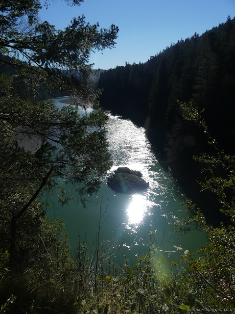
Six Rivers National Forest (map link) There's a piece of riverside trail along the Klamath between Bluff Creek and Aikens Creek, or so it says on the map. I decided to start it on the south end, so headed into the much reduced Aikens Campground. It had running water, flush toilets, and even a dump station once. Now it doesn't even have pit toilets to serve the people who might choose to camp, updated fee: free for up to 14 days, in the wide open spaces between the hills. It does look like it gets some use, but was completely empty. Nothing points to the trail, but I found it very easily from the closed campground loop by walking around the gate and through the first site. The only indication that it was once a camp site was the stone base for an iron stove. Everything else is vanishing under the leaf litter. "Closed for the winter" it says, but that was a lot of winters ago. The trail, in contrast, was beautifully built and still getting some use just like ...