Jennie Lakes: Weaver Lake
Sequoia National Forest
Giant Sequoia National Monument
Click for map.DAY 1 | DAY 2 | DAY 3 | DAY 4
I am up at the first hint of light. It is easy to get up in such mild weather. Martha has not taken it as quite so mild, so I let her have the neoprene socks for the early morning foot soaking. I did mention I was overpacked. We collect ourselves together and head up the little bit of trail to the crossing to finally give it a try just as it gets light enough to see into the water. I feel like it got quieter about halfway through the night, but the water level really does not look any different. We drop down to the crossing with smooth running water consistently across a wide section and cross. It does not seem to pull much at my legs as I go. Somehow the snow melt is not even cold. Much ado about nothing.
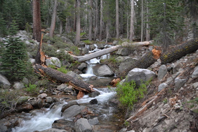
The next crossing is marked "Boulder Creek" with a sign on a tree, although it is very hard to read. This is the outflow from Jennie Lake and we splash on through. The last crossing requires a little climb and then we can splash on through it too. I finally find the campsites I expected to see around the creek around it. Not such a bad spot. It should get some morning sun, unlike spots down in the canyon. We stop for a bit for breakfast and to allow the day to properly begin, not to mention to think about having dry socks again.
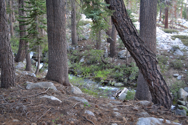

Once we have gained some morning sun, we turn to gain a little more elevation, too.

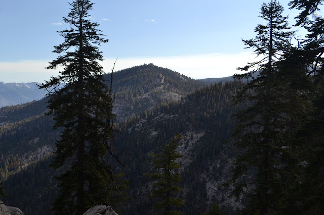
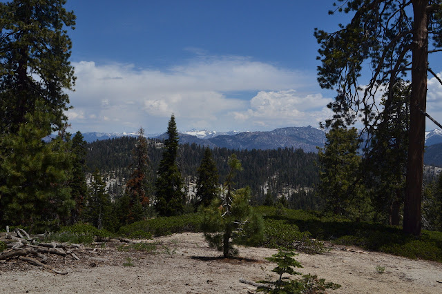
The trail starts to level out a bit after another couple hundred feet as it slides between the bulk of the mountain and a long point of rock. I have the distinct impression it is missing a rather good viewpoint, so take the excursion out onto it. Others have agreed that this is a spot to head to, even leaving fire rings along the way. Some of what is out there is Kings Canyon.

We reconnect with the trail and climb gently higher and descend again past glimpses of meadow and a pair of teasing bearing trees. They stand facing each other and pointing at each other with a combined distance that is only slightly further than the distance between. In the middle, there seems to be no marker. There might have been a large cairn beside the trail, but someone has kicked it over and probably not even noticed the bearing trees marking it as a surveyor mark. Or maybe it is under the fallen tree, but it looks like it was fallen already in 1986 when the signs are dated.

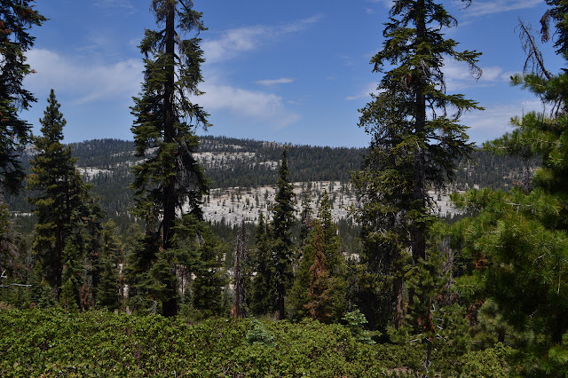
I can spot a little of Shell Mountain visible through the tops of the trees. The trail up to Weaver Lake is marked by a sign as the size of the trail balloons. We make this last little climb to see the lake. It was probably at least as crazy as Jennie that first night, but now there is only one group way off on the side that is only heard a couple times.
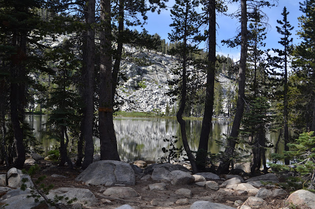

It is a good spot to rest a bit and poke around and even try to circle, getting my feet quite wet through a swampy inlet and where rock hopping stones across one bulge are not quite complete. Still, rock hopping across a bit of lake is silly enough that it simply must be tried even if a few of them are underwater.


Soon enough, we head off again down the rest of the trail. It is like a roadway for much of the way, this part gets so much use. For now, it is quiet enough to startle a couple deer drinking at a creek crossing.

As we get lower, the temperature seems quite oppressive. There are a few day hikers coming up, and they are clearly feeling it. A family with two little tykes backpacking seem more chipper, but we are in the shade of the trees by Fox Meadow as we encounter them. There is even a pair on horseback now that the weekend crowd has dwindled.

The bridge still reeks as we cross it. There are only a couple cars left in the overflow parking with us. Otherwise, all the parking areas are completely empty except the two closest to the trail. There is another family with a couple little tykes getting their backpacking gear together as we pass. The lake certainly seems like a reasonable little trip for a youngster.
©2017 Valerie Norton
Posted 11 July 2017
Liked this? Interesting? Click the three bars at the top left for the menu to read more or subscribe!


Comments